

In Lock Down One we explored our local area and discovered a bonanza of fantastic walks around Morecambe. Lock Down Two was mostly spent watching our new kitchen being installed so we didn’t go far. In the cold winter months of Lock Down Three we once again set off on some local walks. I crave new places and sights and so, as well as the familiar, we searched out new places to walk, finding variety and interest as we mixed up the coast with woodland and canal walking. Here is a flavour of what we found.
On the Fringe of Morecambe Bay from Carnforth to Morecambe
This walk has been on my list of things to do for some time and a sunny and frosty day in February was the ideal opportunity. We took the bus to Carnforth, walking back along the coastal path. This is a level walk, the navigation fairly straightforward and is about seven miles.
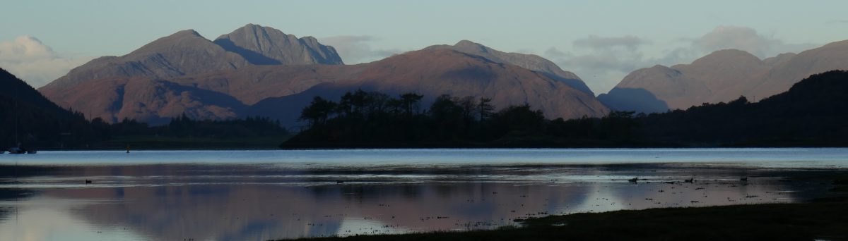
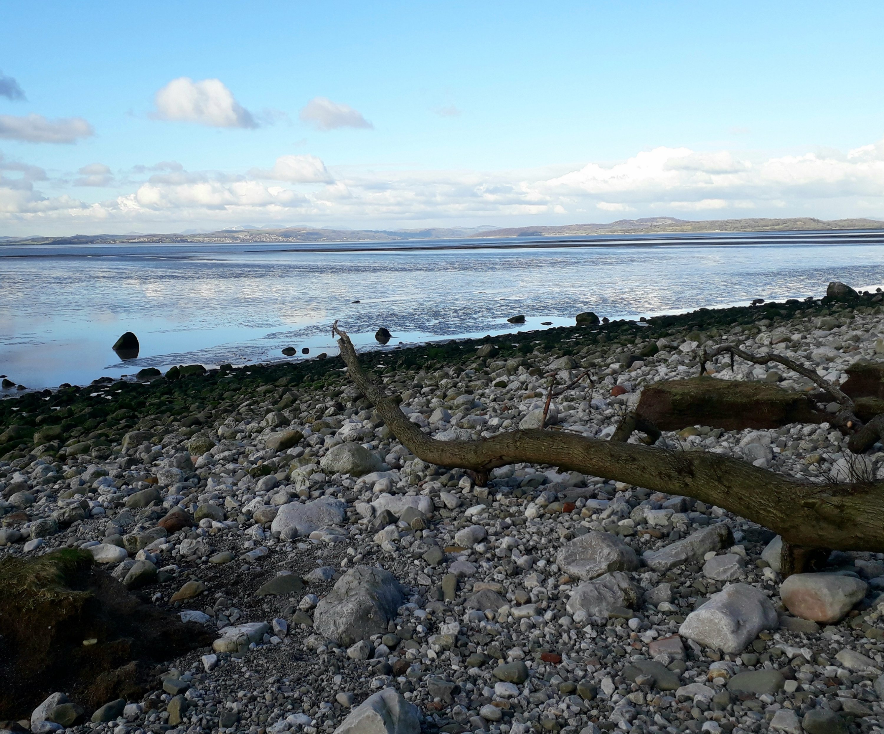
From Carnforth you are soon out on the salt marshes at the River Keer estuary. I enjoy this green coastal landscape and it was fun on a sunny morning to meander around the pools and channels. Across Morecambe Bay we could see Cumbria and the Lake District and behind us was Warton Crag. This is a wild landscape that feels cut off and we didn’t meet many people until we were near Red Bank Farm and the parking area there. After Red Bank Farm, if you follow the rocky shore you can climb up to the white stone memorial to the 21 [at least] cockle pickers who died in Morecambe Bay on 5 February 2004. If the tide is high, or you find walking along the rocky shore tricky, then the path over the fields of sheep from Red Bank is lovely and you can see the memorial over the fence.
Walking by Hest Bank you might spot the big house that featured in The Bay series two on ITV before you reach the car park and Jo ‘n’ Lees By the Sea cafe, a good refreshment stop. You are now on the Morecambe Promenade and for us it is an easy walk back home.
The Sea, a Park, a Canal & Woodland all in a Few Miles

This walk is only a few hours but in that short time packs in plenty of variety with a walk along Morecambe Bay, a wander through Happy Mount Park, a stroll along the canal and even a turn around the woodland off Barley Cop Lane. We walk it in either direction to add a bit of variety to those hard-to-tell-apart lock down days.
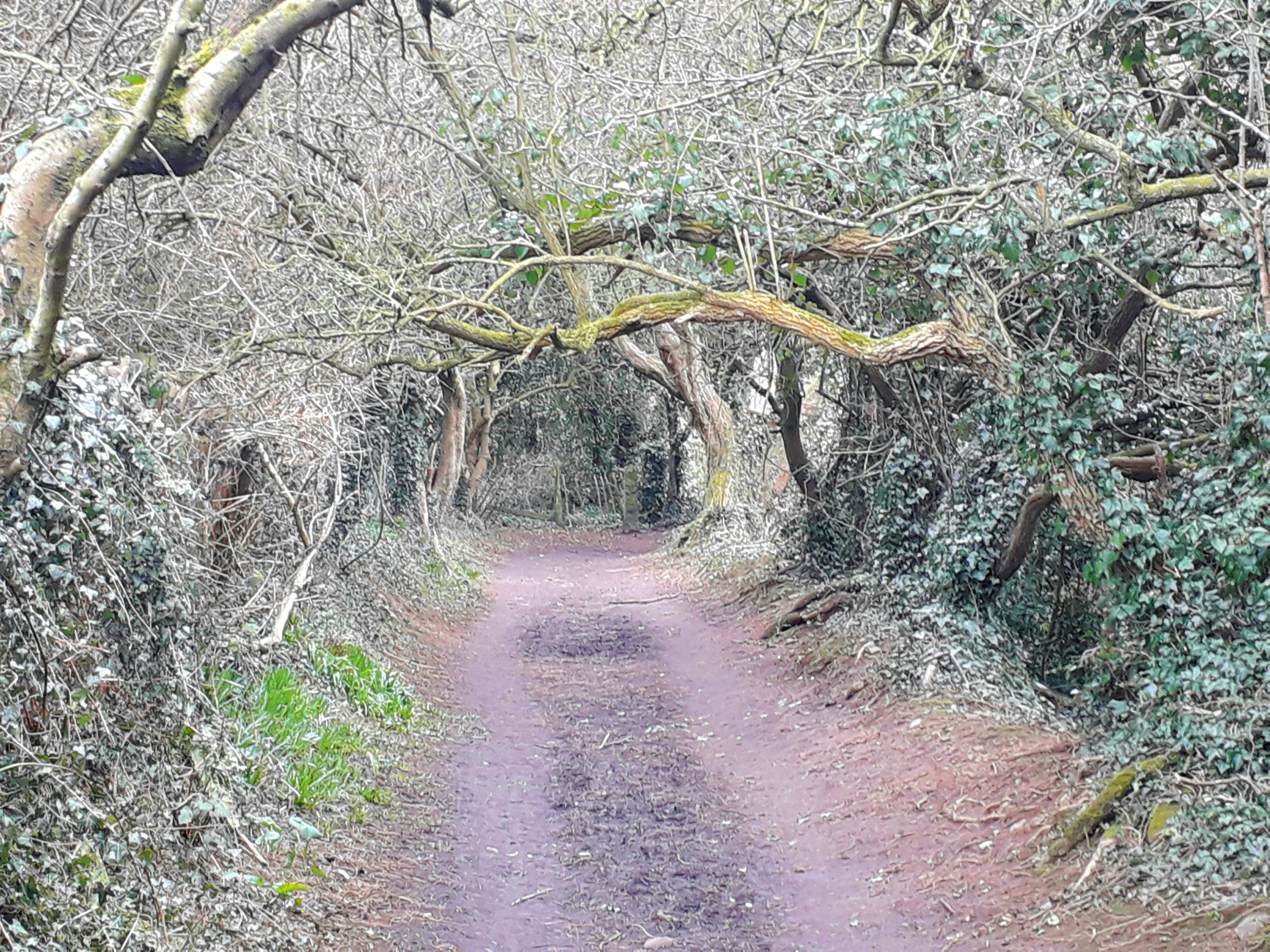
Is there ever a better name for a park than Happy Mount? From home, we will walk to the sea and the Promenade and walk around Morecambe Bay to Happy Mount Park on the edge of town. As we follow our noses through the park, which is usually busy with families on a fine day, we pass the cafe on our right, the train on our left, the Japanese Garden on our right and into the play area. From here you can find a route through the hedge onto the woodland path, turn left and skirt around the golf course then go firstly over the railway line and then underneath [it can be muddy here]. You are now on a track that crosses the canal.
Join the canal towpath and walk towards Lancaster. This is an idyllic rural stretch of the canal and we have spotted a kingfisher here but, even if you are not that lucky, you will certainly see some ducks. Leaving the canal at Folly Lane we walk by the farm, around the fields and under the Bay Gateway turning right onto Barley Cop Lane. If we have time we will take a turn around the earthy woodland at the junction, particularly now the paths have been resurfaced. Then we head home through Torrisholme.
Looking for Seals along Heysham Harbour Wall & South Jetty

Although we have walked to Heysham Head and Half Moon Bay many times, we had never explored the other side of the port, near the two Heysham nuclear power stations. We walked along Money Close Lane from the junction to the port, turning right into the car park and then left onto the gravel path through the Heysham Nature Reserve that skirts around the two nuclear power stations. This is a grassy area with trees and ponds that is popular with local dog walkers. We crossed a lane and picked up paths towards the sea, emerging between the power stations and the Ocean Edge Holiday Park. This holiday park certainly is on the edge of the Irish Sea and has unrivalled sea views but its publicity doesn’t mention the EDF nuclear power stations that hum gently alongside the park.
We had timed our arrival here for around an hour before high tide as we were hoping one of the seals that are occasionally spotted in the sea here would be around. The sea hadn’t quite covered the rocks below us and oystercatchers and redshanks perched among the surf and a group of wigeon dabbled in the shallow water. Turning to the right, ahead of us was an impressive wide concrete sea wall leading to the mouth of Heysham Harbour. The wall makes a dramatic sight under a blue sky with the power station to one side and the sea to the other. We set off walking the over half a mile along the wall to the squat lighthouse and the wooden remains of the South Jetty.
At the lighthouse we sat and had our flask of coffee looking out, unsuccessfully, for seals. We could see the ships in the harbour and we watched cormorants and gulls on the top level of the wooden frame of the old South Jetty. On the lower levels were a group of tiny knot and we watched with fascination as the sea level rose and the small birds had to flutter up to higher struts. In the distance we spotted the bulk of a ship from the Isle of Man which powered across the sea and was soon dominating our view as it came through the narrow harbour entrance.
The only option is to walk back the same way, no hardship as this is such an unusual and exhilerating spot, with or without seals.
Around the History of Sunderland Point

It was a frosty day when we took the bus to Middleton and walked down Carr Lane to the coast and the sandy Potts’ Corner car park. This is really the obvious starting point for car drivers planning a walk around Sunderland Point and we had merely added 1.5 miles by taking the bus.
Where you can walk will constantly depend on the tides around Sunderland Point so take care, don’t put yourself in danger and check the tide times. The tide was on the ebb while we were walking and we could follow the shore of salt marsh and pebbles, strewn with trees and branches. Eventually you will pass the turning onto The Lane that would take you straight to the village. Carry on by the coast and just beyond here is what is known as Sambo’s Grave, a poignant reminder of Lancashire’s part in the slave trade. The grave is a memorial to a young man from Africa who is thought to have arrived as a slave in 1736. Becoming ill he died and was buried in an unmarked grave. In 1795 a local schoolteacher raised money to erect a memorial to the young man. Before carrying on, stop and pay your respects, read the elegy and admire the painted stones and maybe even flowers that decorate the memorial.
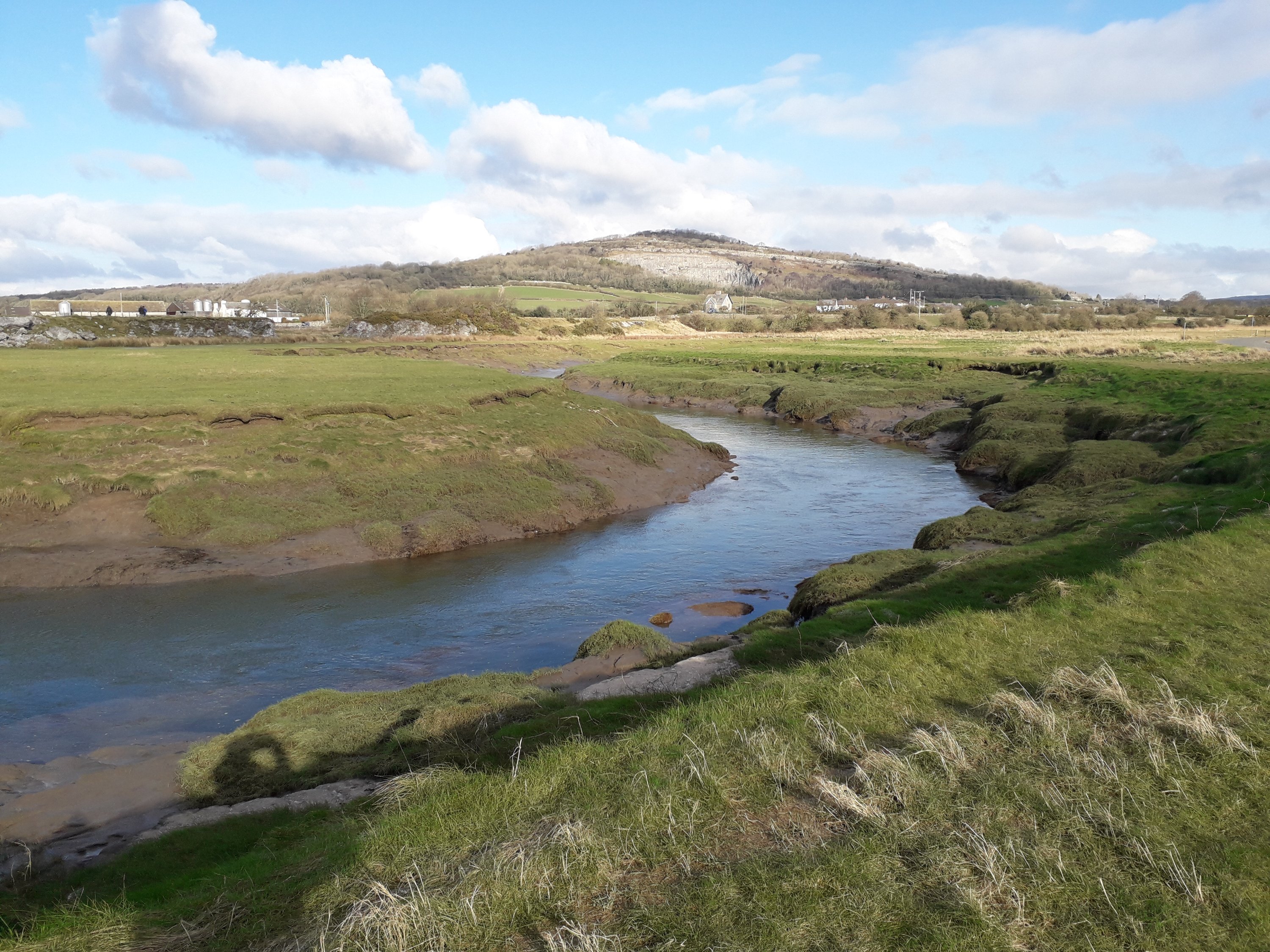
Walking around Sunderland Point, where the River Lune flows into the Irish Sea, is to be somewhere that feels as remote as it is possible to be on the Lancashire coast. Walking at sea level, the view across the river to Glasson Dock stretches away into the distance and you will catch any breeze on your back. My sense of isolation disappeared as we reached the handsome Georgian houses of Sunderland but this is no usual village. The road to this sleepy village of around 30 houses is cut off twice a day by the high tide. It was once a busy place for ships to unload or wait for the tide into the port of Lancaster.
From the village we followed the dike to the road and walked to Overton where the bus terminates. If you are heading back to Potts’ Corner car park there are plenty of footpaths that will take you there.
Combining the Lancaster Canal & the River Lune

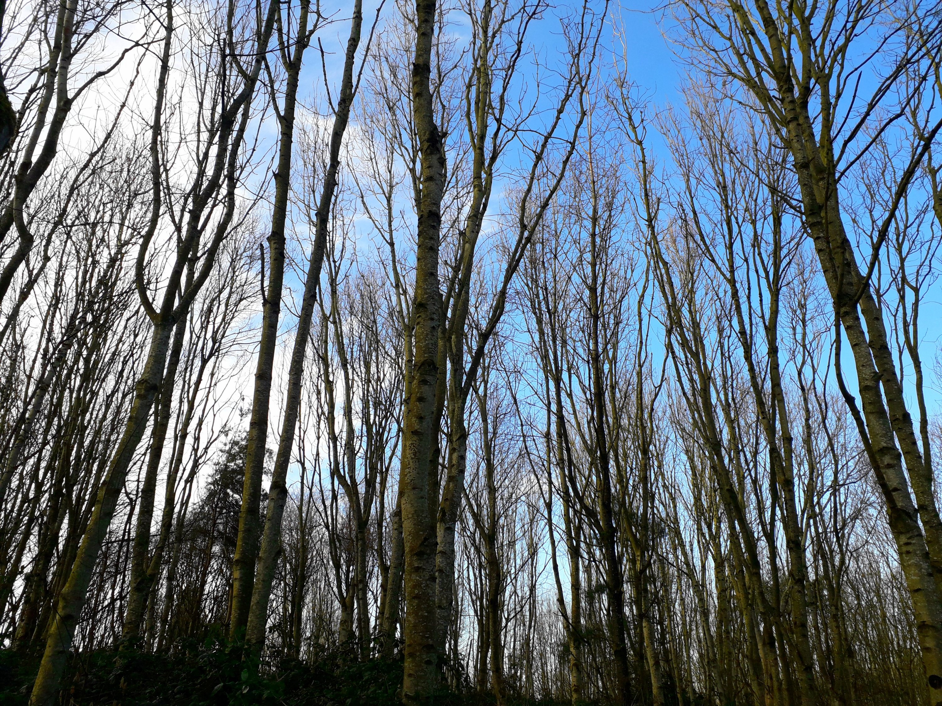
Eager for a walk that took us somewhere new on a sunny day, we set off on our usual route to the Lancaster Canal and headed into Lancaster, over the Lune aqueduct. So far so normal. On this occasion we carried on through Lancaster and into a lovely wooded section of canal around Aldcliffe. We walked as far as Stodday where we picked up surprisingly busy lanes around the sewage works that took us to the footpath and cycle way from Lancaster to Conder Green that follows the River Lune.
We stopped at a picnic bench for our lunch and then, as we weren’t cycling, took the riverside path along the dike, rather than the lane and cycle route, so that we could enjoy the views over the River Lune and across to the pub at Snatchems. Apparently there used to be a ferry across the river to the pub and as we walked we wished that still existed. Skirting the wetland pools we emerged into the new housing along the quay road. We crossed the River Lune by Carlisle Bridge that carries the west coast train line and has a pedestrian walkway that takes you high above the river.
From here the cycle and pedestrian path back to Morecambe is an easy walk home. For us this walk is about 12 miles.
Morecambe Prom Updated

Morecambe is dotted with paintings on walls and sculptures of birds. A new addition to the Morecambe art scene has recently made walking along the seafront in Morecambe even more interesting. Local artists have been painting panels to cover the plain blue panels that surround an area of waste ground next to the supermarkets.
The photograph above shows the first four colourful painted panels. There are now more and I find it is worth checking on every visit to the sea as another may have been added since we were last there.
Well done to all the people who are putting in considerable time and effort to brighten up this part of Morecambe.

Great shot for the Sunderland Point section – moody, damp, visually appealing.
LikeLiked by 1 person
Thank you. It is such an amazing spot.
LikeLiked by 1 person
absolutely love this post. Great pictures. very authentic travel writing.
LikeLiked by 1 person
Thank you.
LikeLiked by 1 person