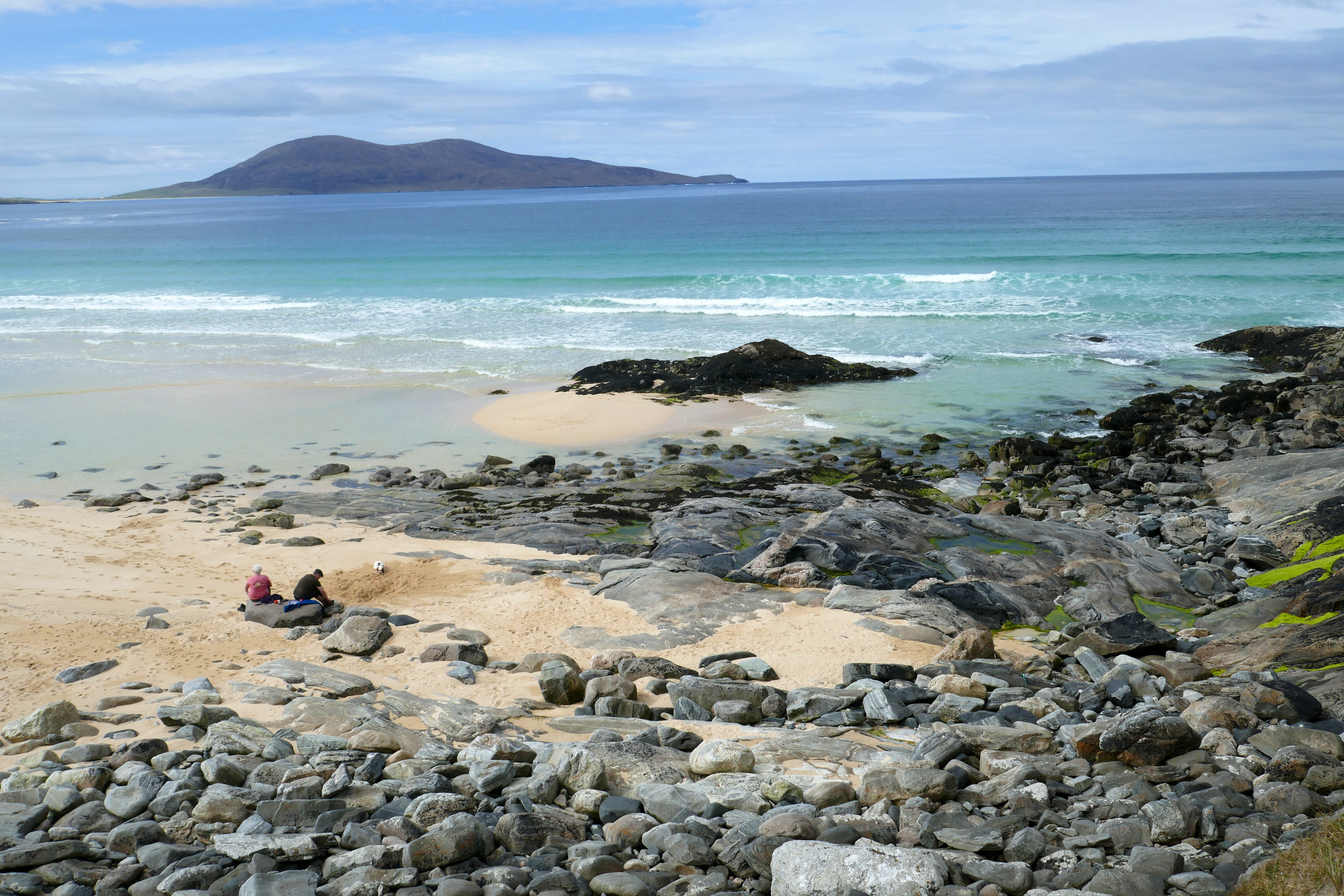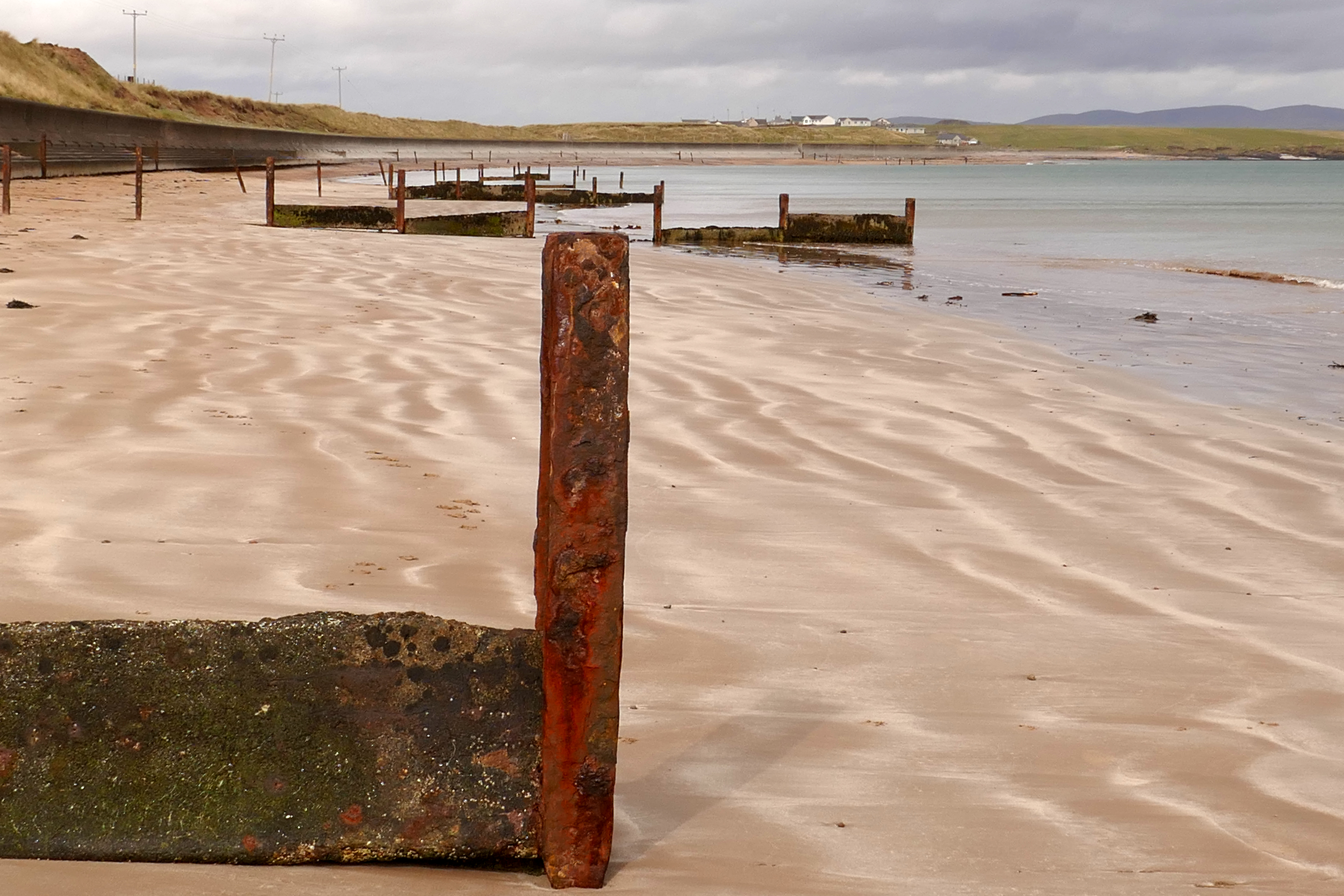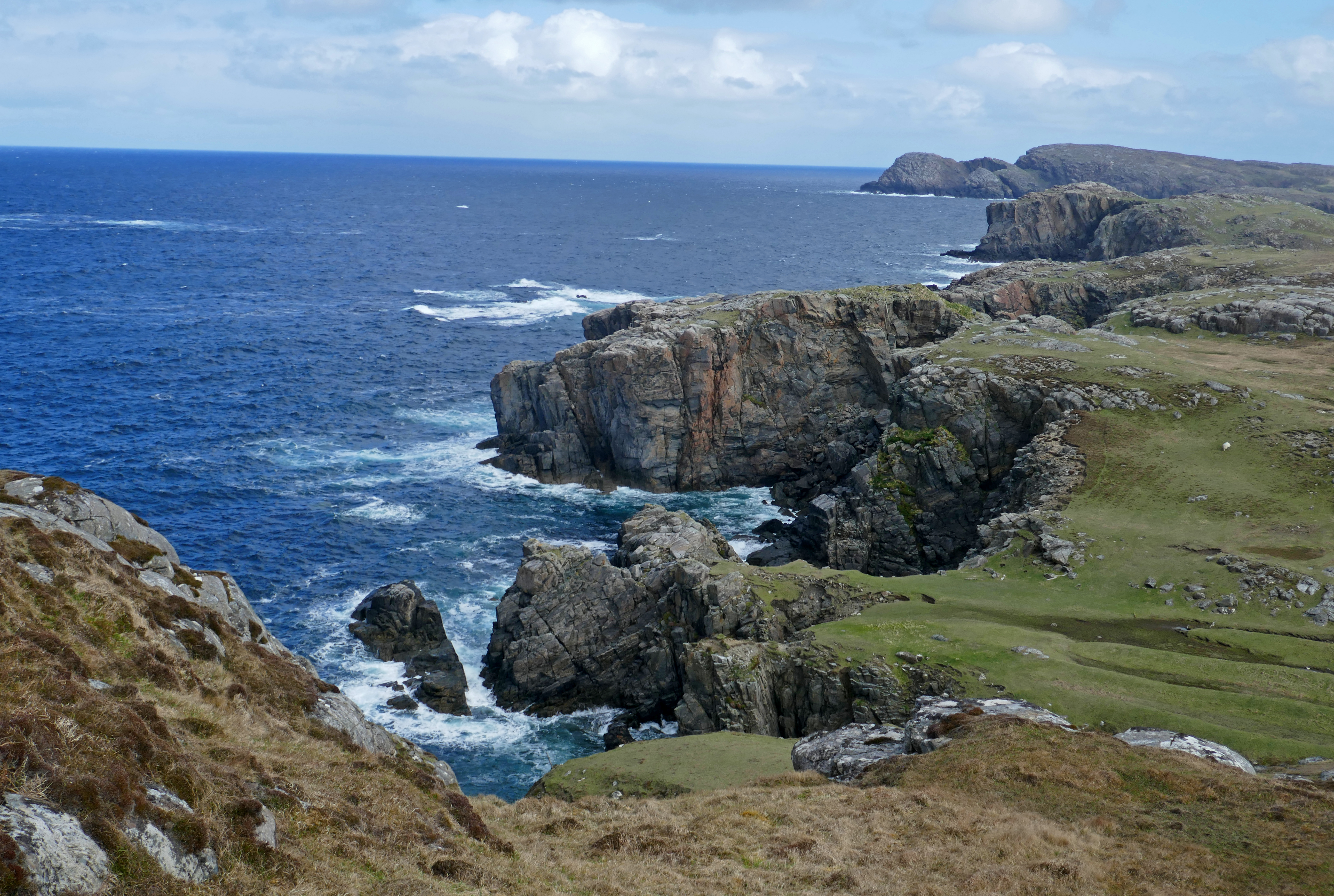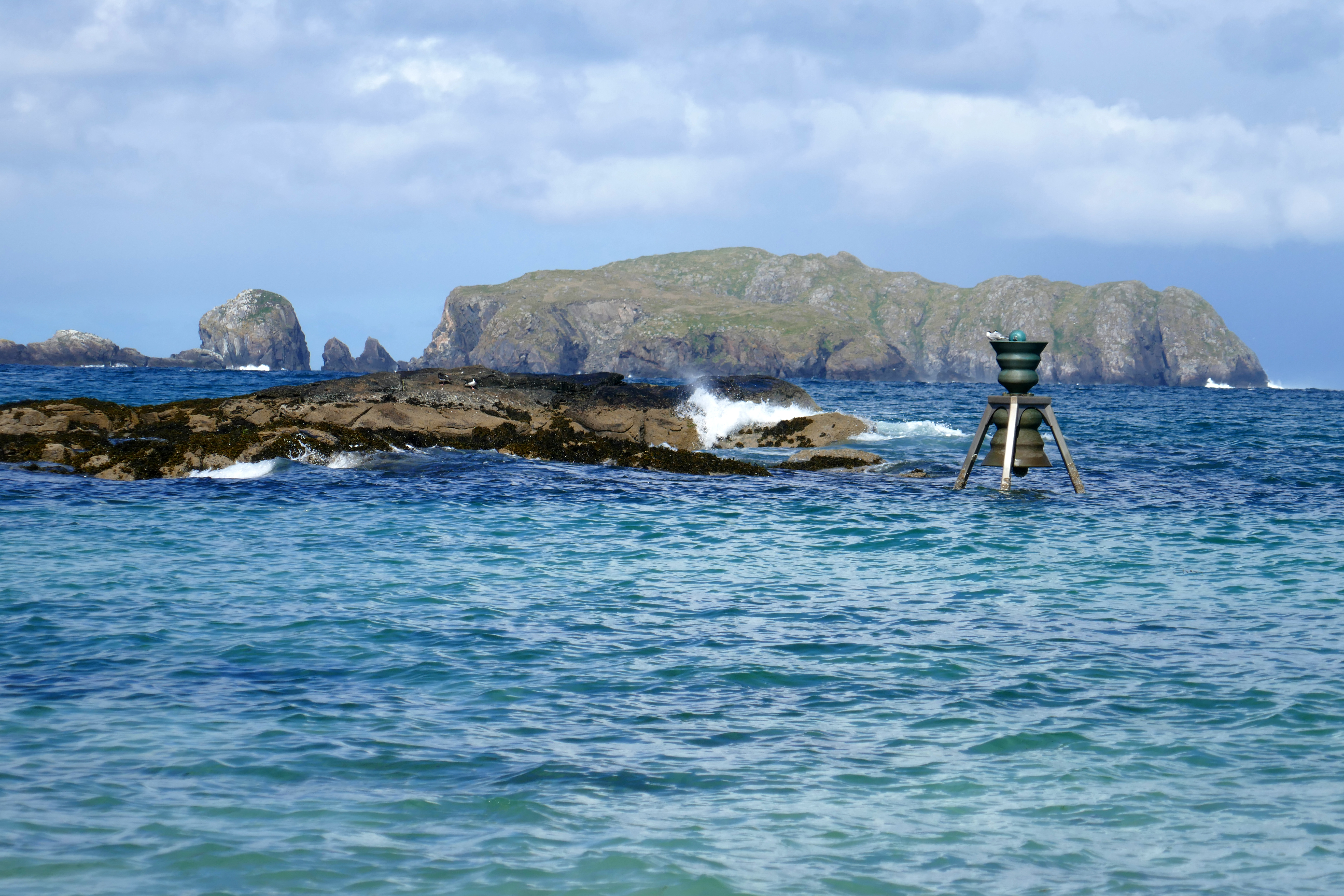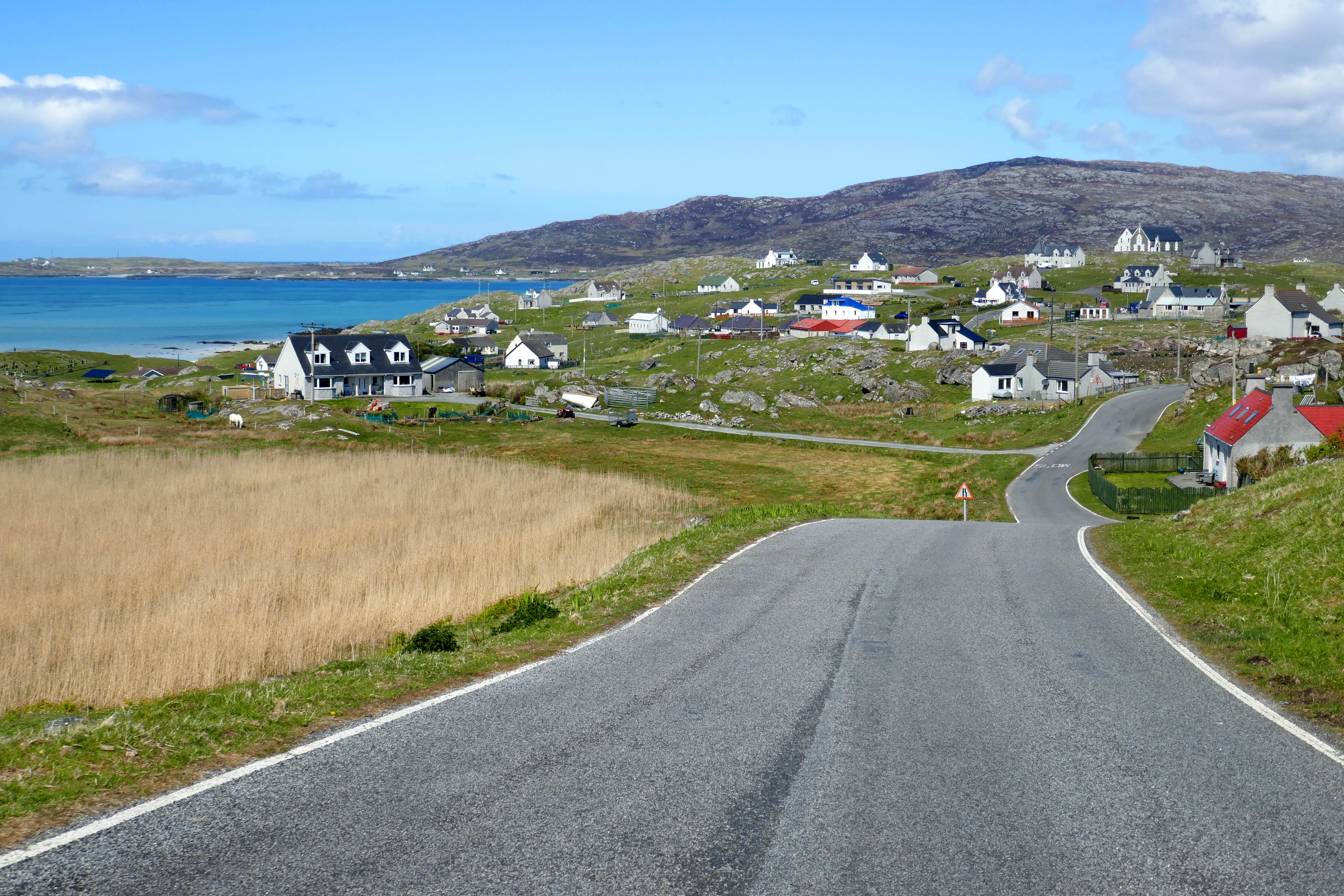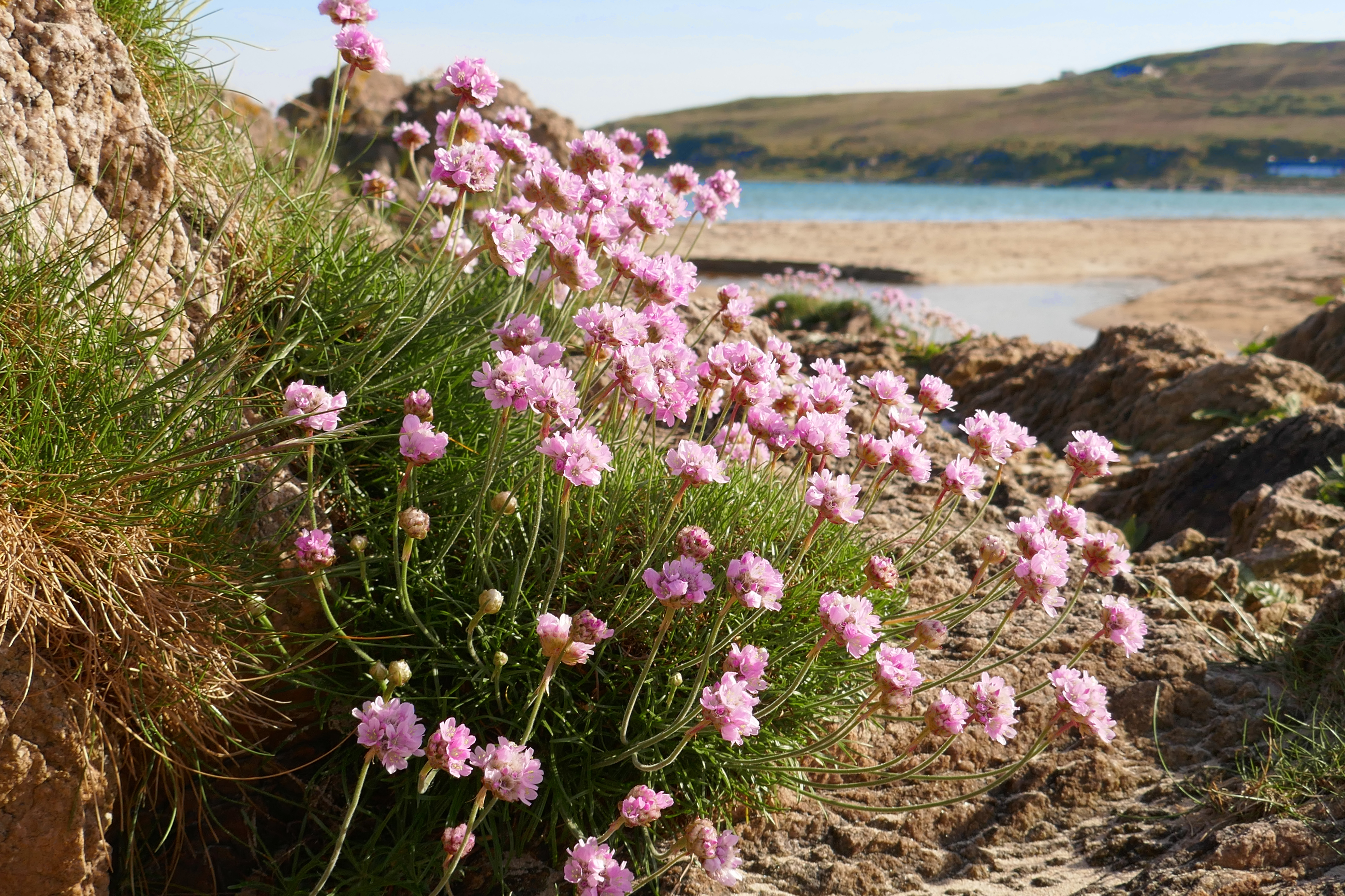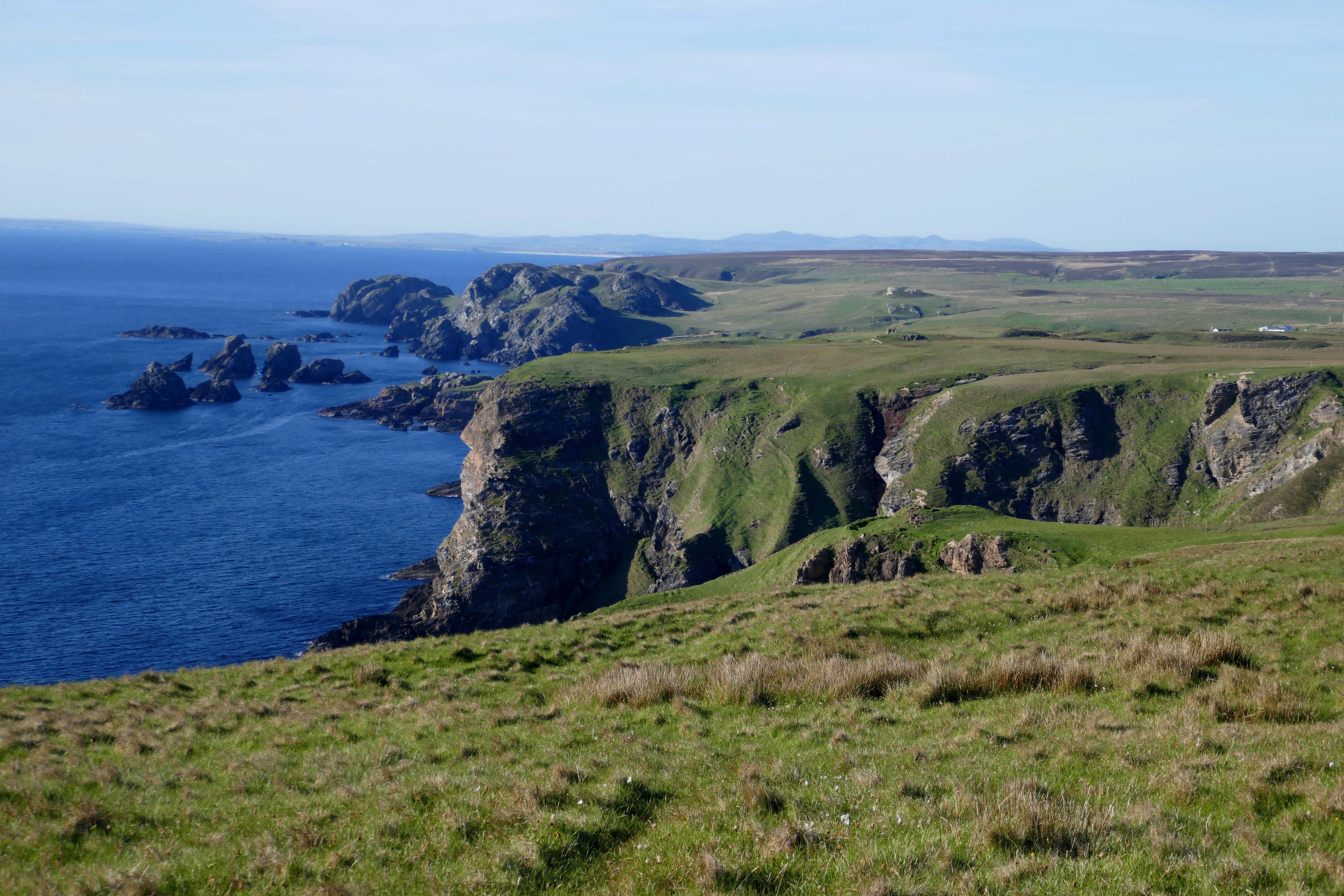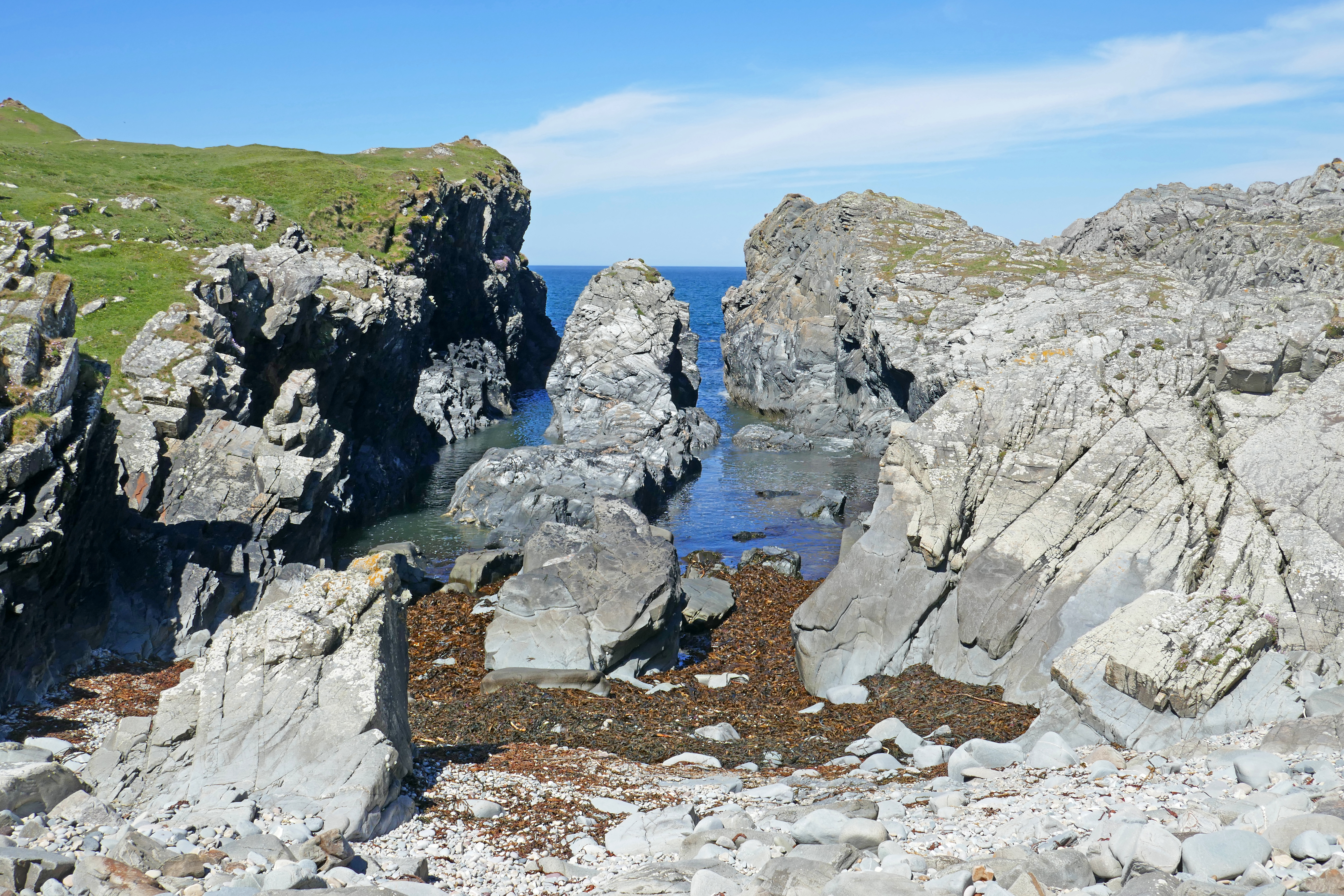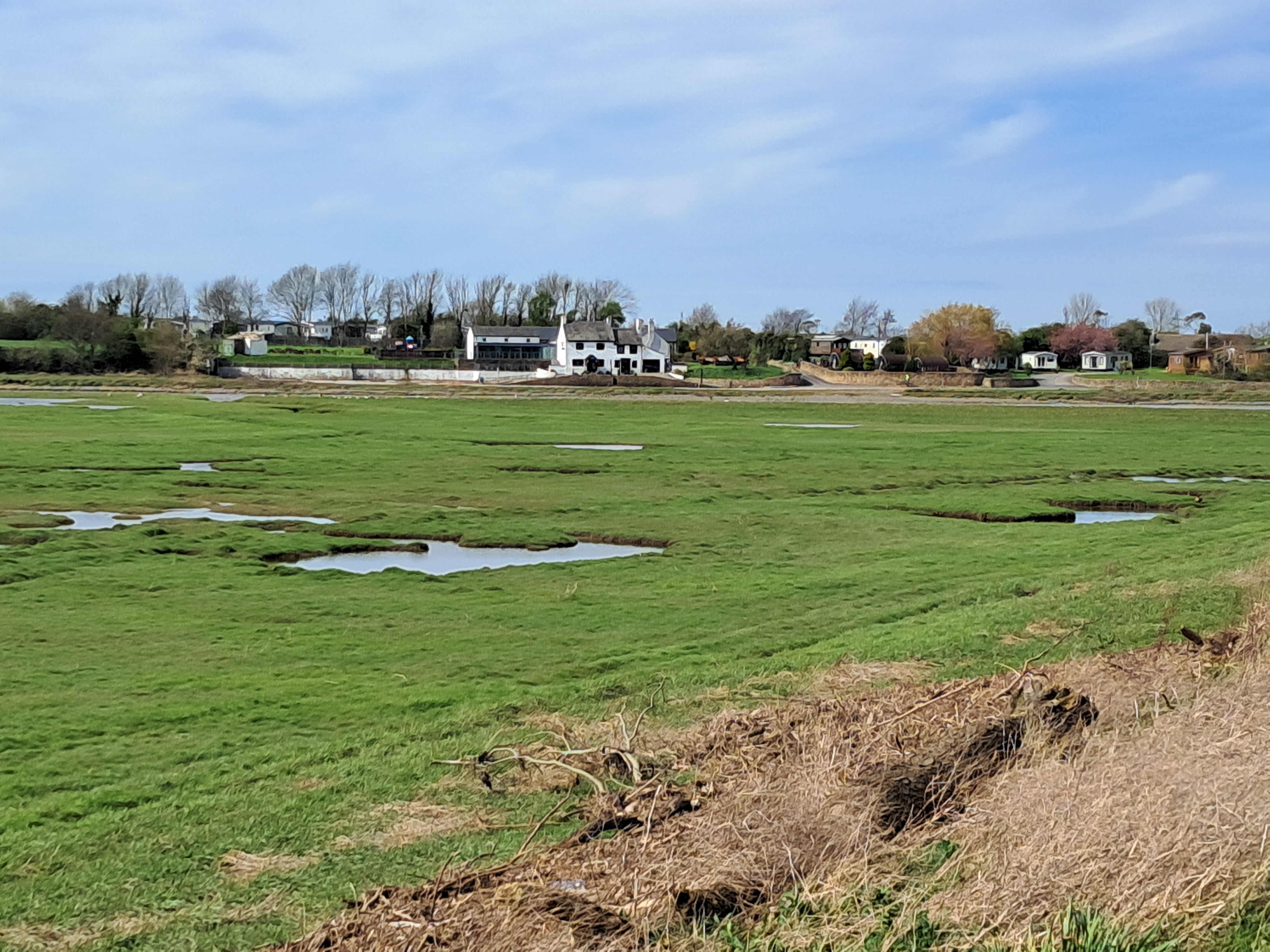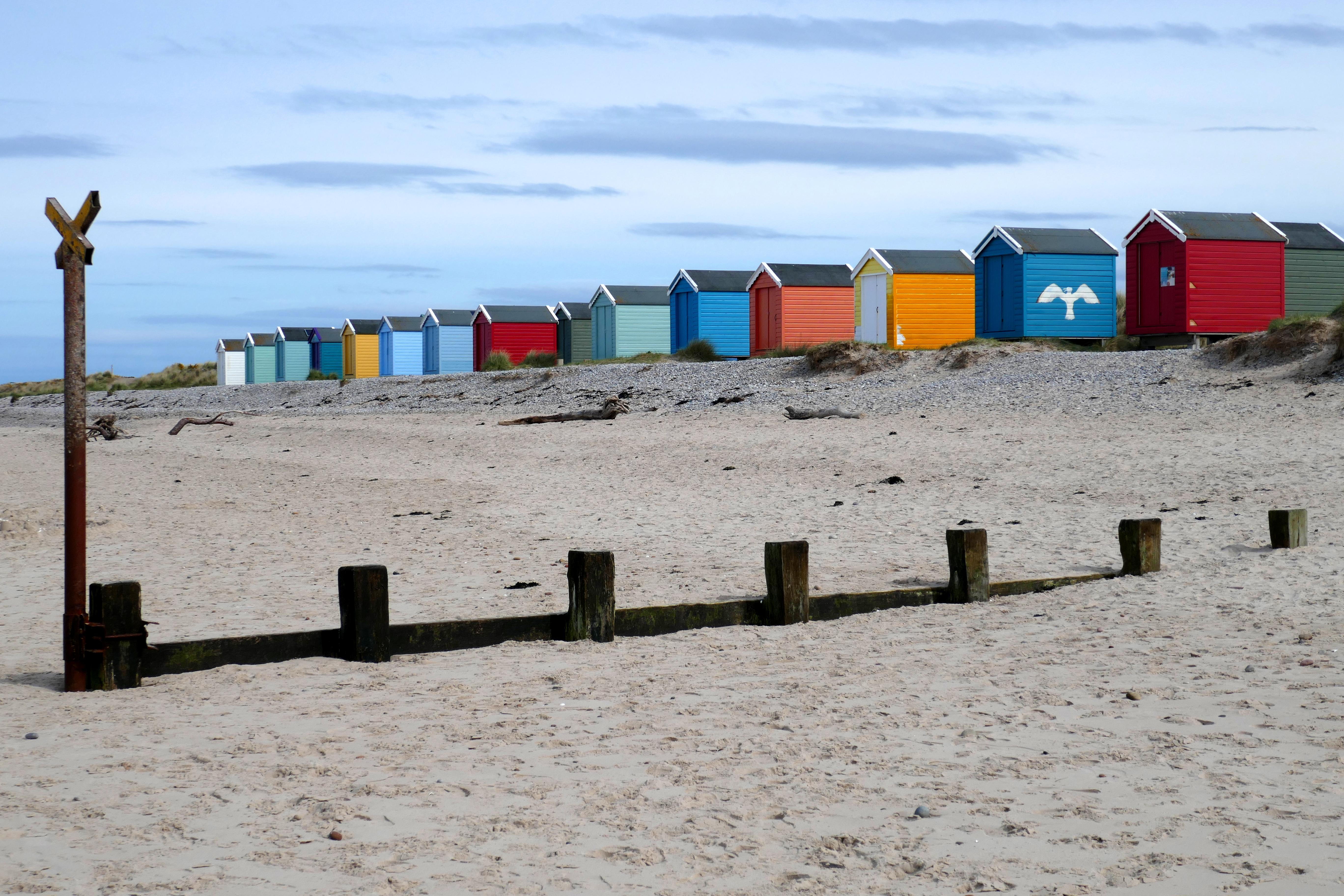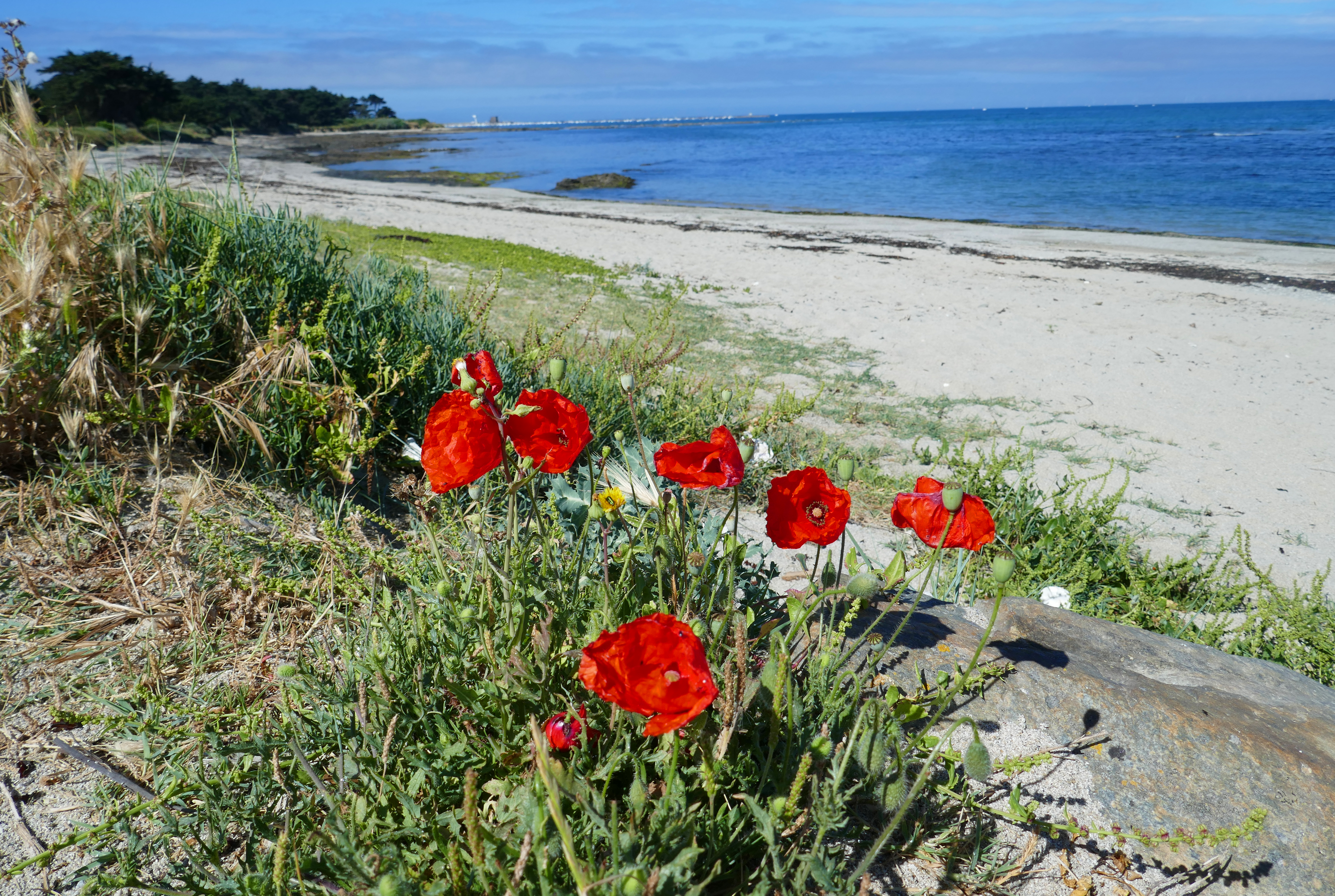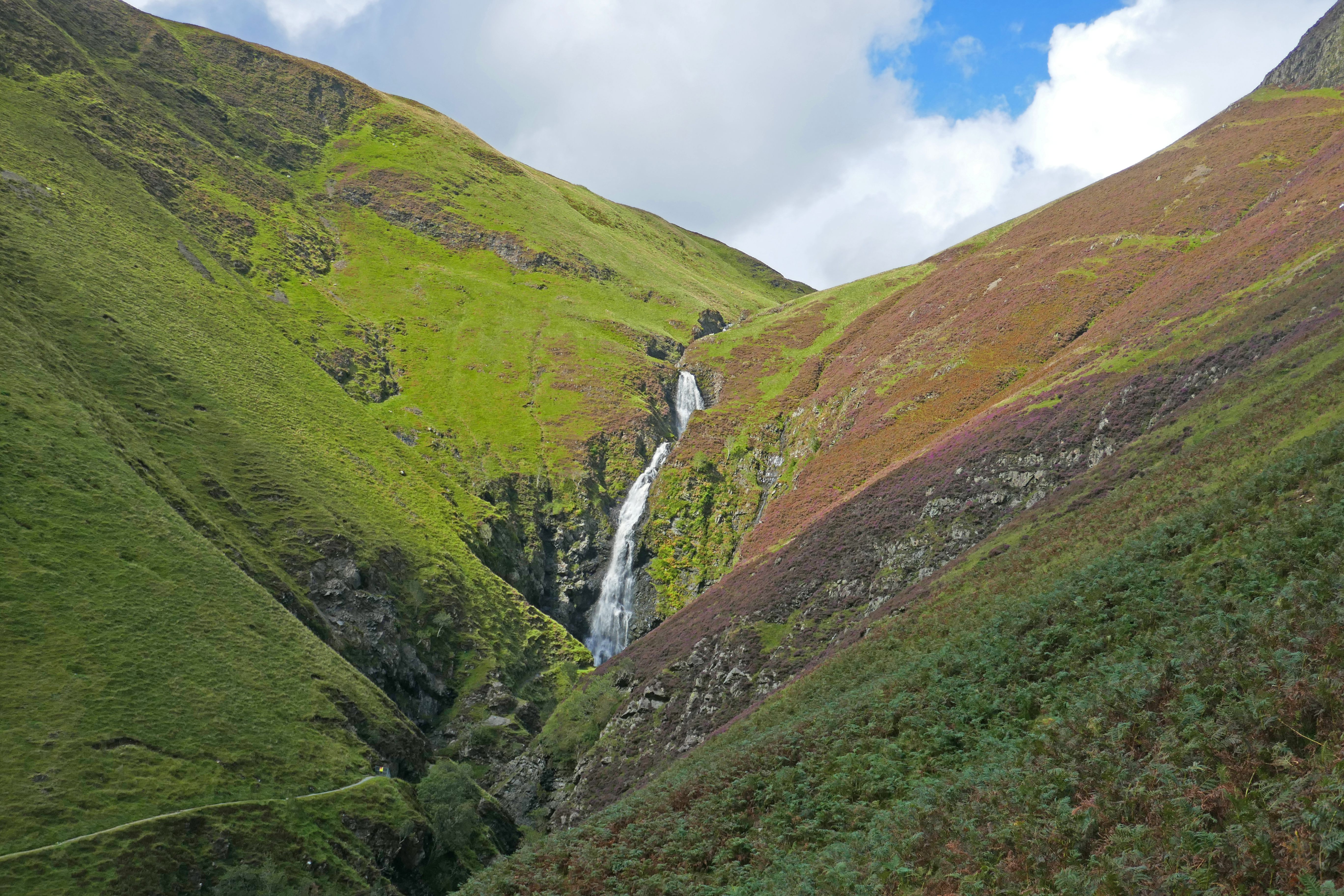
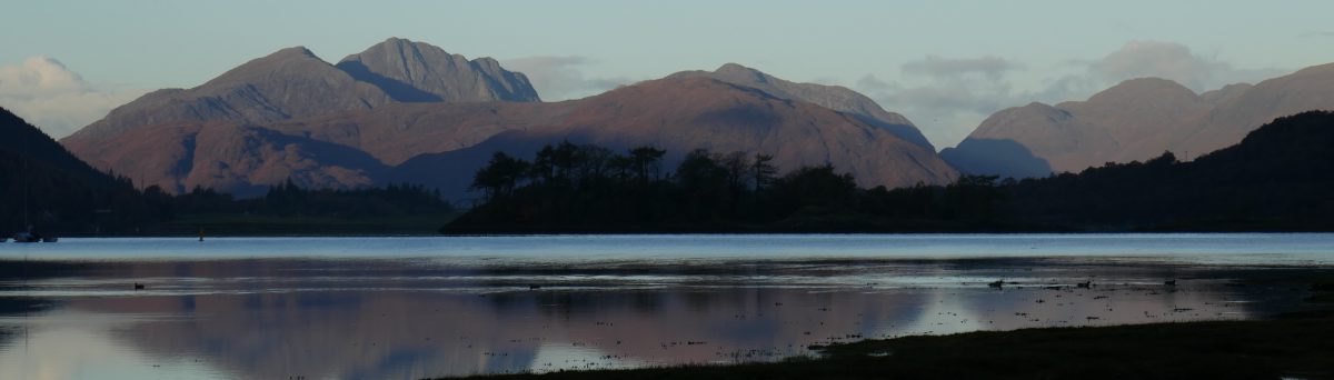
In May 2026 we travelled through the Outer Hebrides. We watched golden eagles on Lewis in the north and crossed the hills of Harris to camp by its sweeping beaches. Sailing to North Uist, Benbecula and South Uist we heard and saw the rare corncrake and wandered through flower-rich machair under boundless skies. Barra, the most southerly of the Outer Hebrides showcased local producers in its community shop and gave us wind, rain and sunshine on our hill walk. Visiting the Outer Hebrides was fascinating and relaxing.
We used campsites every night and stayed two or three nights in most of the campsites below. The campsites were all around £30/night, in addition some of the sites charged for showers.
Many of the campsites were small and family-run or were income generation for community development trusts. This meant that the money we spent during our visit to the islands benefitted islanders and stayed local.
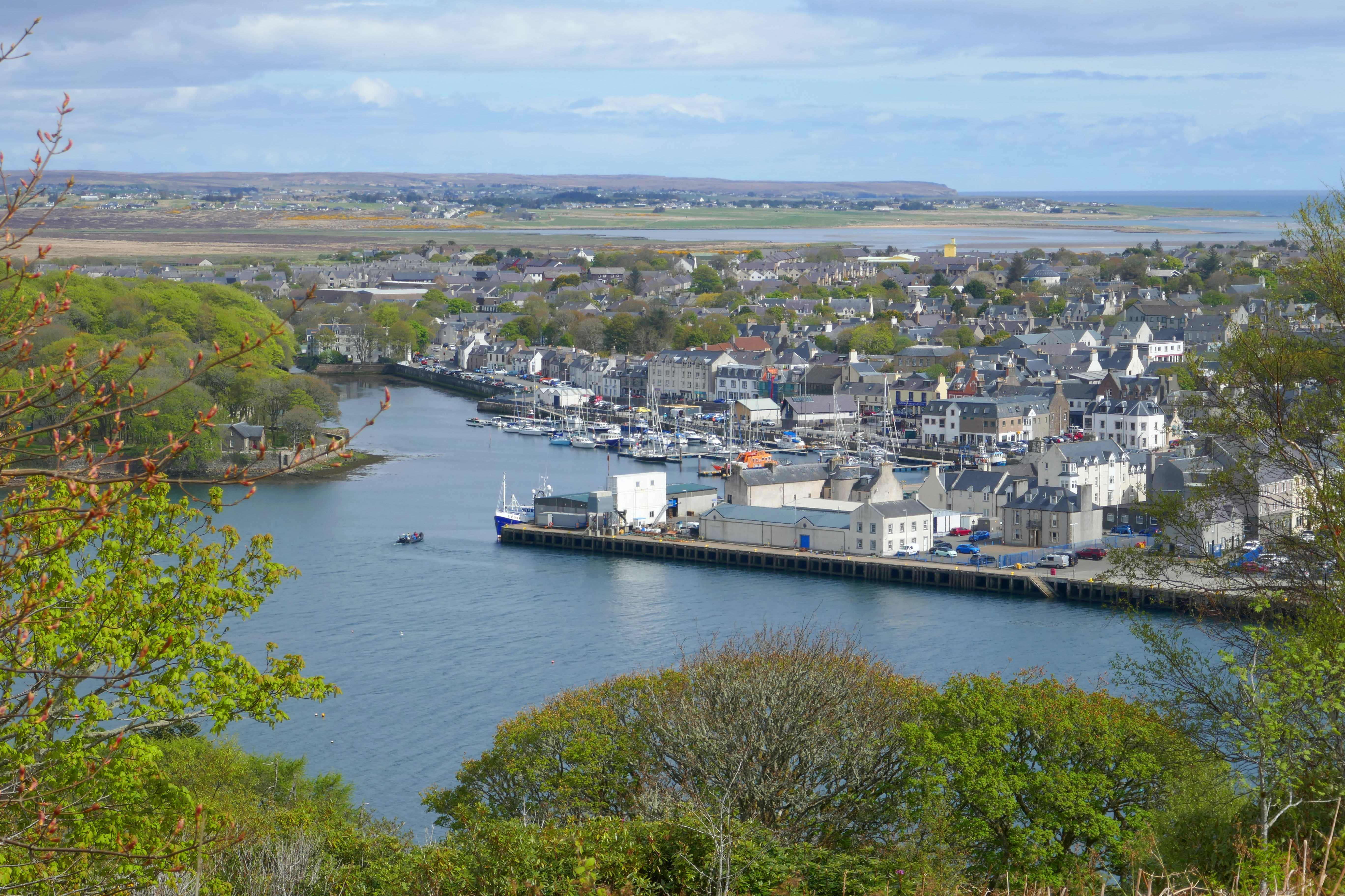
Laxdale Holiday Park, Stornoway – This small, family-run and friendly campsite uses every space possible for pitches. It is on the edge of Stornoway and about a 30-minutes walk to the town centre [there is a bus service from the main road five minutes walk away]. The site is popular and it is worth booking if you want to stay here. Our pitch was the best on the site, with trees on one side and grass on the other and a view across countryside to the sea. There are other good pitches but some are on sloping gravel and concrete. The site is well kept and we found the showers to be good with continuous flow and hot water. The windows and doors are kept open to keep the facilities aired and there was no heating on when we were there, so it might be bracing. The washing up is indoors. Stornoway is certainly worth a visit to see the harbour and castle and the larger supermarkets are here.
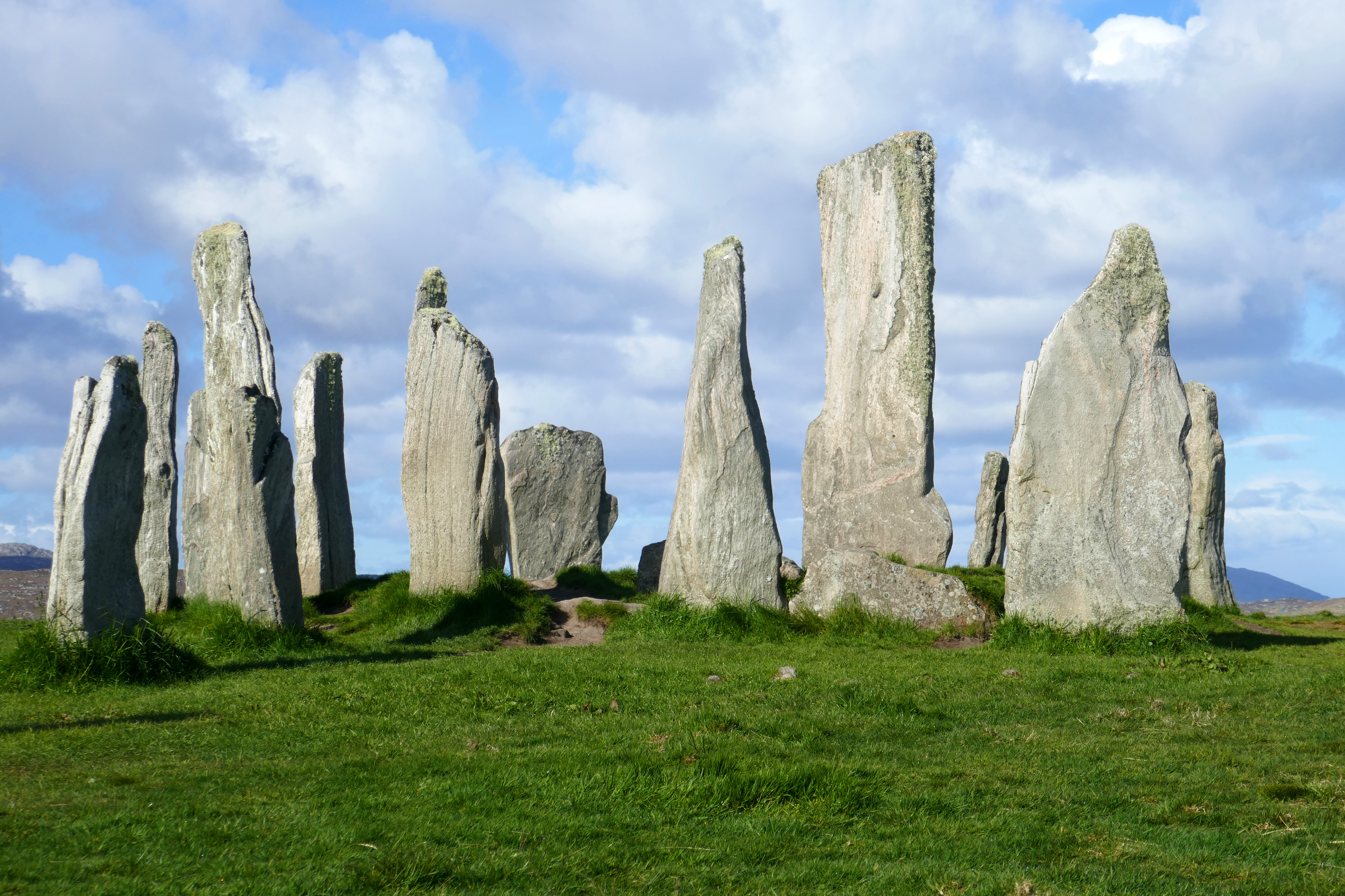
Eilean Fraoich Campsite, Shawbost, Lewis – We received a friendly welcome at this family-run site. The site is level and grassy with wide-open views and the pitches are fitted in like a jigsaw around the buildings. The campsite is in a peaceful crofting township, with the coast about 30 minutes walk away. The shower were continuous flow and adjustable temperature and cost 50p for four minutes. The washing up is in an indoor kitchen and there are some separate unheated bathrooms. This campsite asked that you didn’t put washing out on a Sunday. The site is around 20 minutes drive from the main Calanais Standing Stones site and the museum at Geàrrannan Blackhouse Village is around 15-minutes drive.
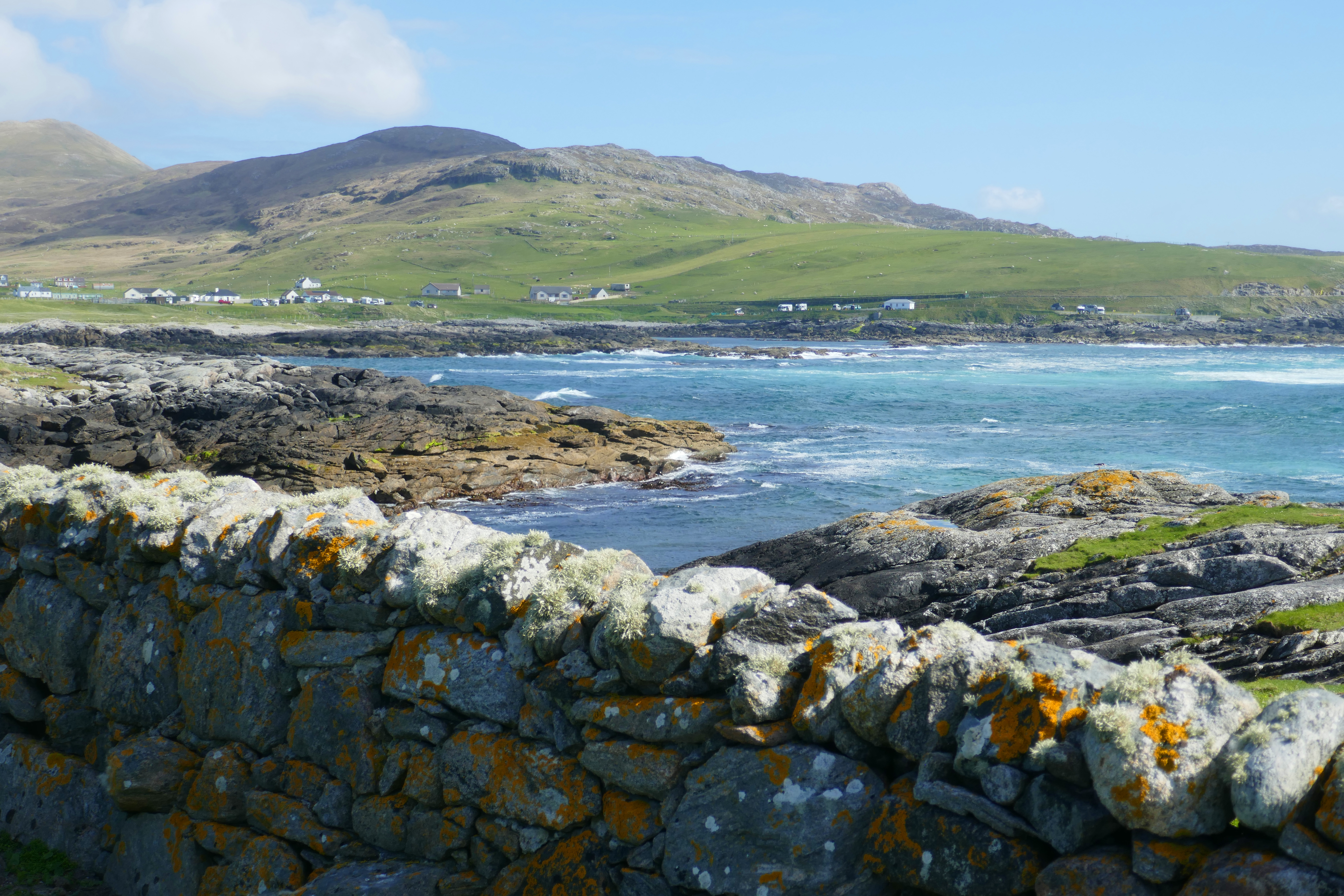
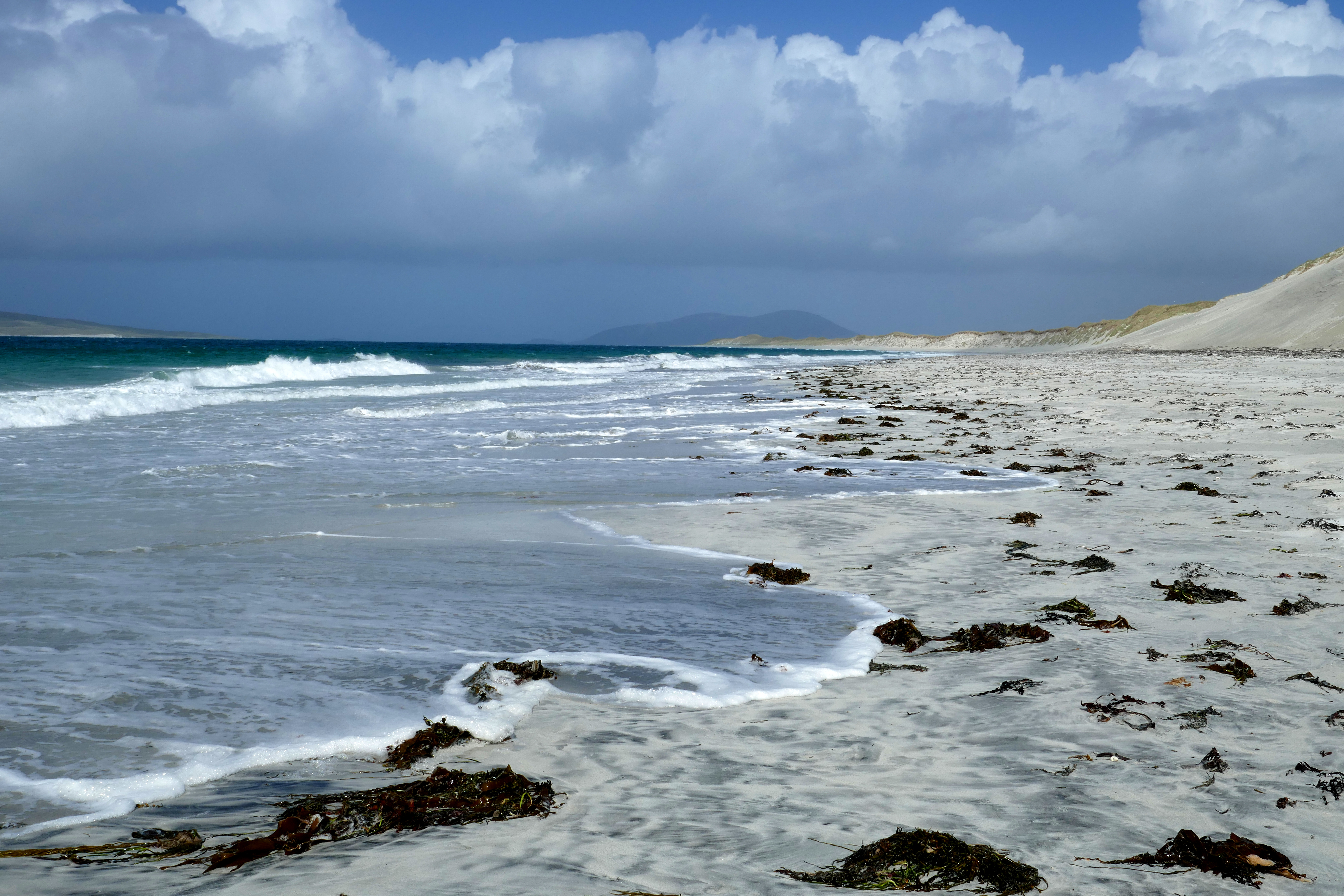
Pairc Niseaboist, West Harris – This site is one run by the West Harris Trust, who work to develop the area’s economy and housing and support the community. We liked the space between pitches and the sea view on the campsite. The online booking system worked well and enabled us to choose our pitch. The level area has just seven pitches and a smart pre-fab with two bathrooms and a kitchen. This was kept spotlessly clean. The electric shower wasn’t powerful but was continuous and with adjustable temperature. The sea is just across the quiet road from the site and you can walk around the small headland and to MacLeod’s Stone with views over white sandy beaches. There is a good community cafe and gift shops next to the camping area.
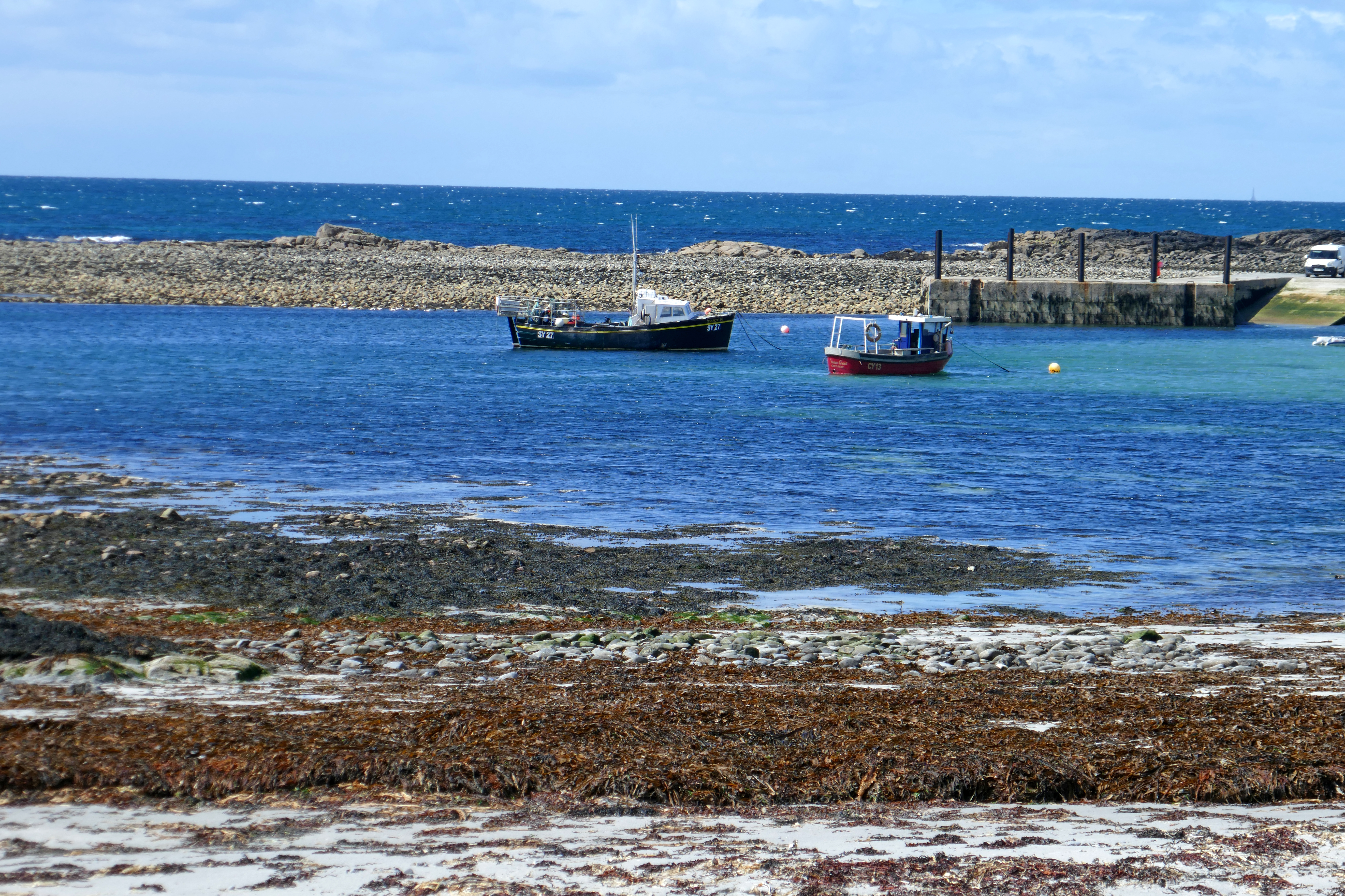
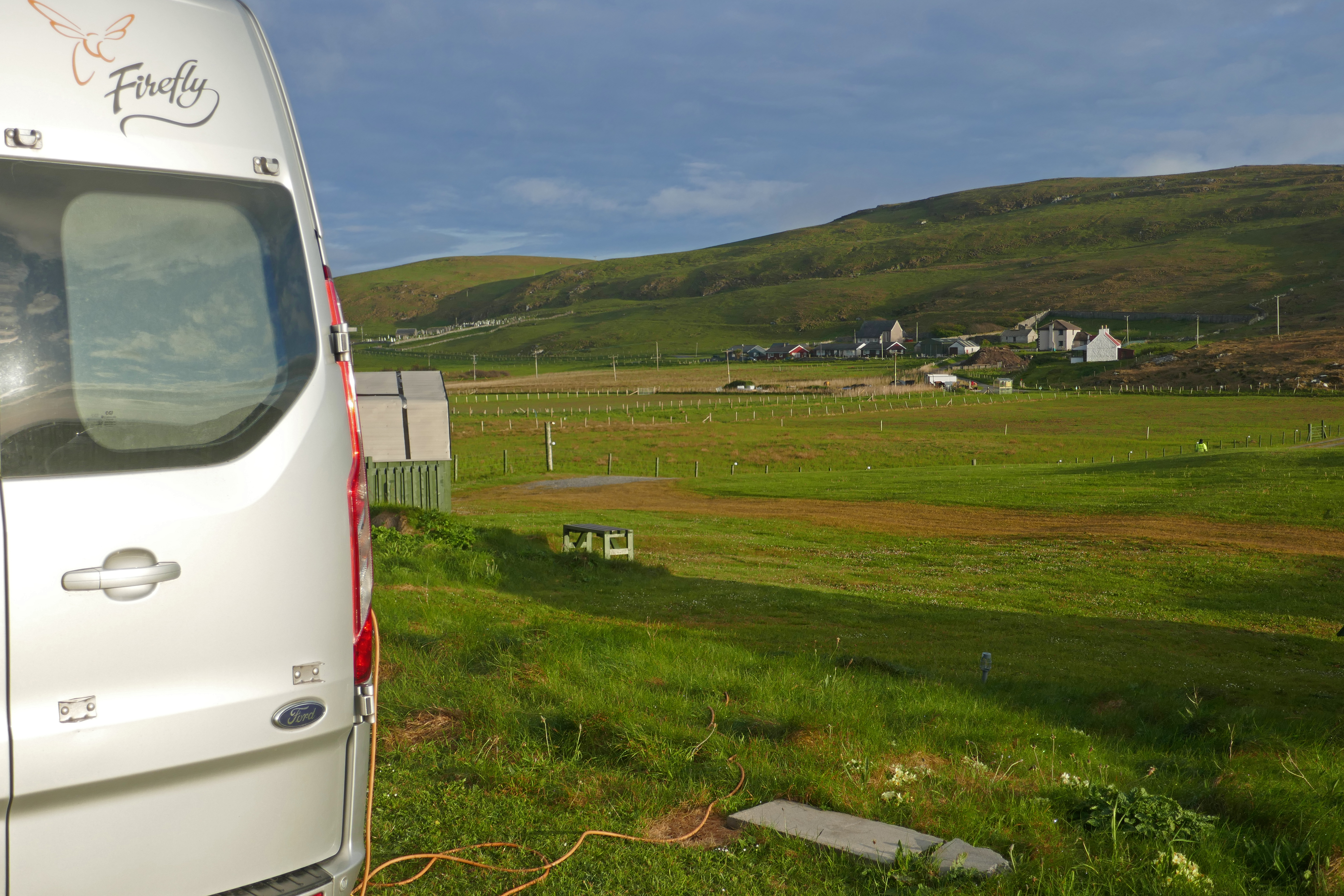
Balranald Camping, North Uist – This was the largest campsite we stayed at in the Outer Hebrides. It is well-run by a family and is mostly level. It sits within an RSPB reserve and so is perfect for bird watchers. There are farm buildings along one side of the site and we had some noise from the cattle and machinery but otherwise it was peaceful. There are two small modern facilities blocks where showers are £1 for 7.5mins. The cubicles are just big enough and the water is continuous flow with temperature control. The walk around the bay and the headland is spectacular, taking in white beaches, machair and dunes and you will see plenty of birds. We went to sleep to the sound of corncrakes. The campsite has a food truck at lunch times with drinks, meals and cakes. Next door is something I’ve not seen before, inside a large industrial-looking building there is a help-yourself farm shop with vending machines selling a limited selection of food and snacks.
Otters Edge, Benbecula – This level site has marked pitches and a beach just beyond the dunes. The owners are friendly and welcoming. The dated facilities block is kept clean but there is no heating and little natural light. The temperature in the showers is not adjustable and they are the push-button type. There is a kitchen with a washing up sink. The Dark Island Hotel is just five minutes walk away and serves delicious food. The Co-op is about 45 minutes walk away. We enjoyed a good walk along the coast and on inland lanes and the island bus goes past the site a few times a day.
Kilbride Campsite, South Uist – This site is on a slightly sloping grassy field. It is popular with tents as well as campervans and there is a hostel and cafe alongside, making it a busy site. The facilities are modern and the showers have adjustable temperature control and are continuous flow but they do have the dreaded shower curtain! They weren’t the cleanest showers in the Outer Hebrides but this was partly because the site is so busy. The small kitchen with two washing up sinks got particularly hectic at times. Behind our campervan there were corncrakes calling in the scrub and we were thrilled to spot one here. We took the bus to Eriskay from the campsite [the bus stop is about 20 minutes walk away] and we walked around the island, shopped in the village shop and had drinks and food sitting outside the Am Politician pub with a sea view. The Polochar Inn is about 30 minutes walk away from the campsite but we didn’t try this.
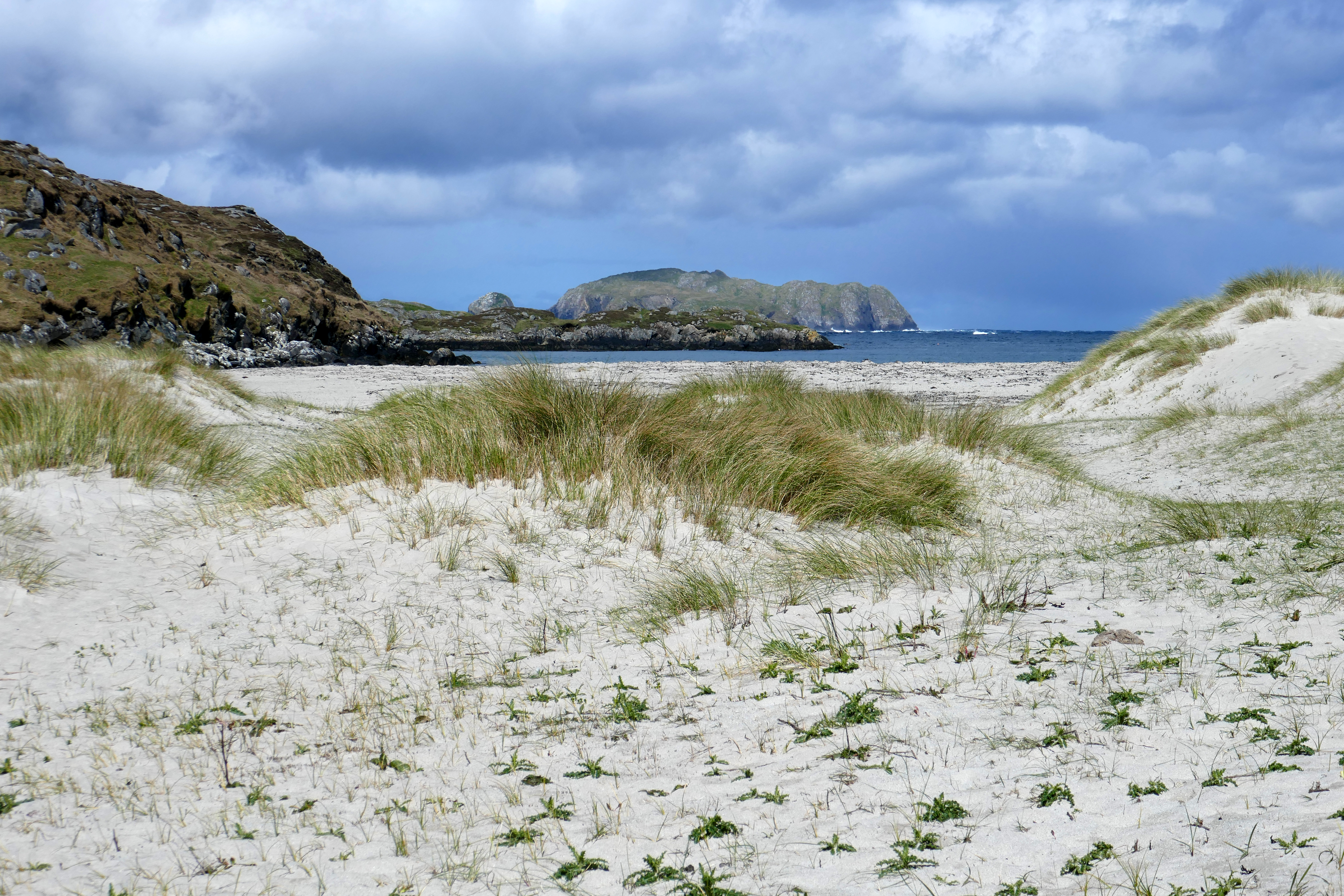
Barra Sands, Barra – Another friendly Hebridean welcome at this campsite. The site is grassy and terraced with slightly lumpy ground. Some pitches have sea views. The facilities are two showers and two toilets each for men and women and a washing-up sink in each block. The showers are £1 for five minutes and have adjustable temperature control and are continuous. Everything is kept clean and tidy. A gate from the site takes you to the beach in minutes. We walked over Dun Sgurabhal on a damp day and along the fabulous stretch of sand backed by dunes, returning by the airport cafe.
Wavecrest Campsite, Barra – This grassy site on the west coast of Barra has narrow pitches, most with a slight slope, and sea views over the Atlantic. The new facilities are modern and clean, with impressive individual toilets and showers. However, £2 for a five minute shower each was more than we were prepared to pay, although the cubicles are roomy enough to share! The pleasant kitchen with windows overlooking the sea has washing up, a book exchange and wi-fi. Walking to the nearby chapel and burial ground across the machair is a perfect in the Hebridean evening light.