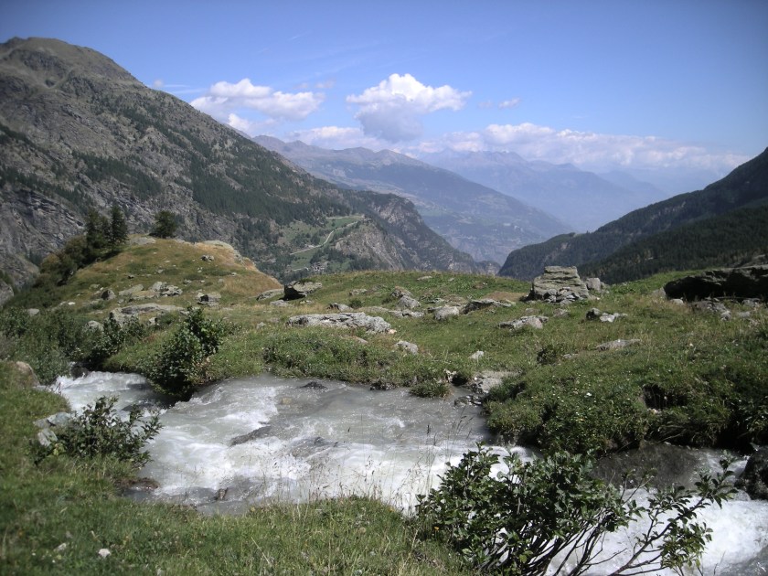
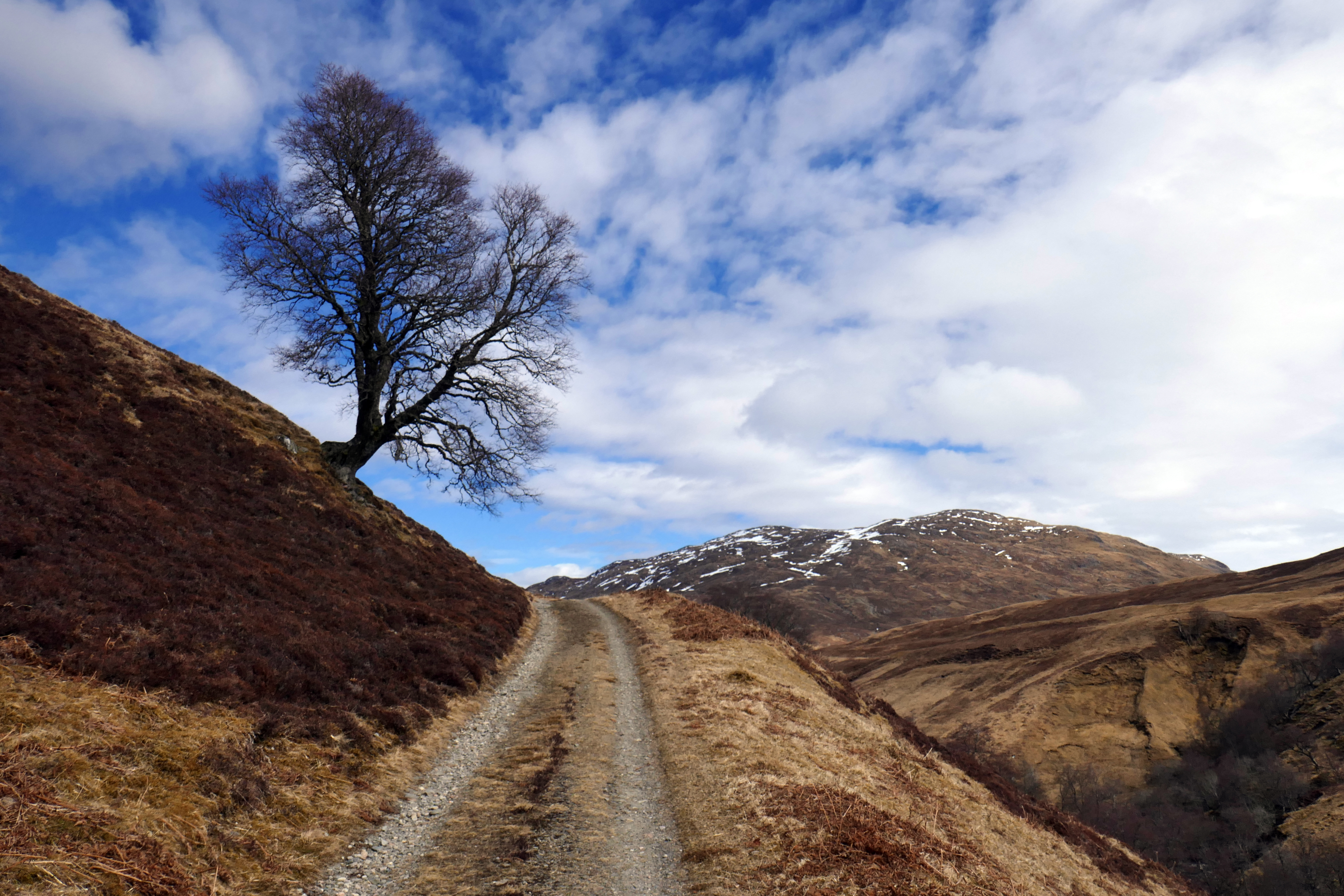
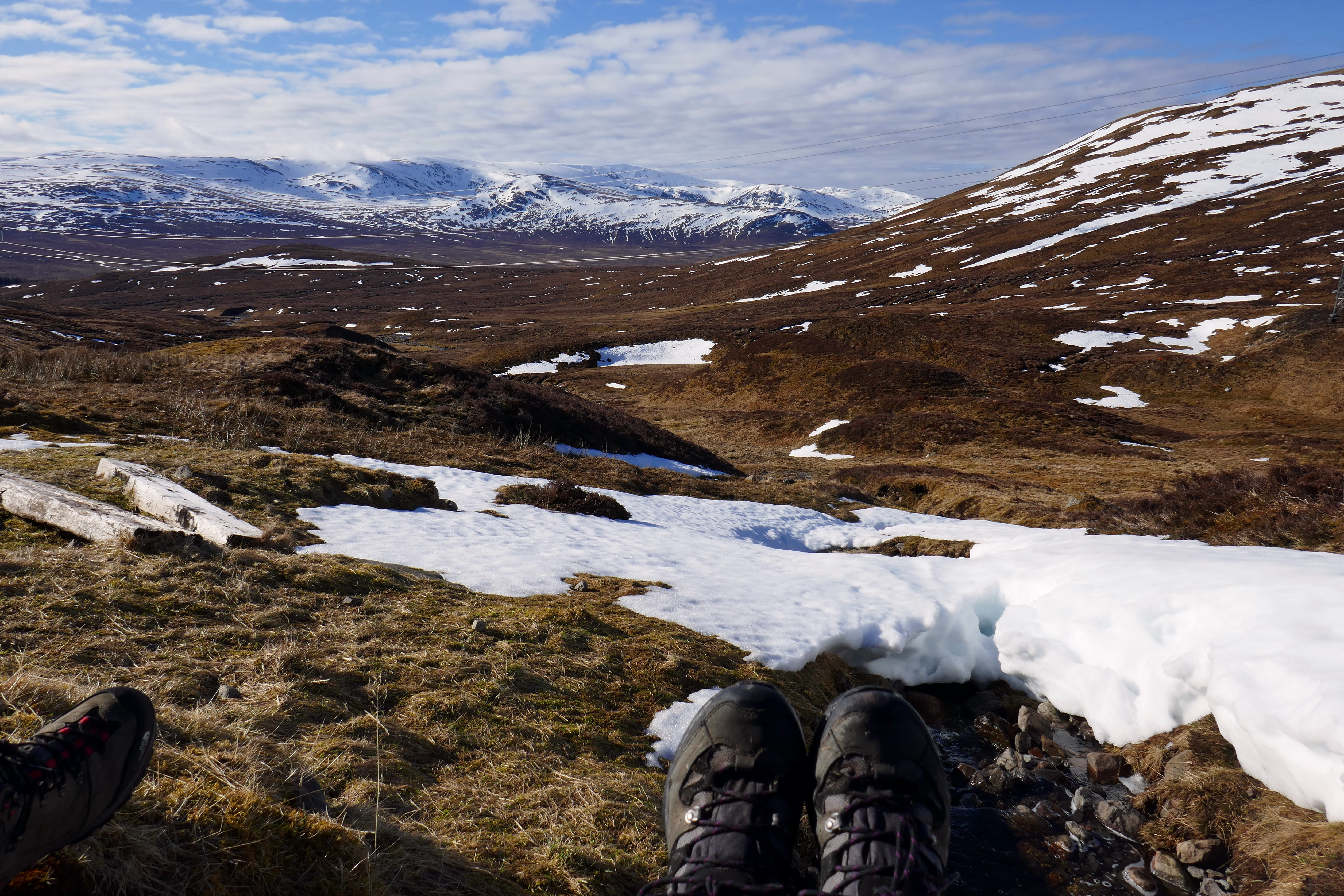
The beautiful Valgrisenche in the Gran Paradiso National Park in Italy
is it just me or do places you have visited and loved suddenly pop in to your head at random times. I can be doing anything, totally unrelated to travelling, and a memory of a place will slip in to my head and I am once again there in that place. There are many places I have visited that stay with me and I am sure that all of them have shaped and changed me. The photograph above is the beautiful and remote Valgrisenche in the Gran Paradiso National Park in northern Italy. We stayed a week in Planaval, a small and stunningly beautiful village a little way up the valley in 2009. Valgrisenche is missed by many tourists and we followed the quiet valley road to its end a number of times. Passing the lake, there are a few farms dotted around the valley and more abandoned stone houses. After having hot chocolate in the tiny cafe by the car park we would walk along the trail to the refuge and the high mountains of the Alps, glaciers appearing as you turn a corner. There are marmots here and wild flowers, berries brighten up the autumn rowan trees. This was September and in the week we were here there were days so hot all we wanted to do was bathe our feet in the cool streams, other days the cloud came down and the fresh smell of rain made it feel like Scotland; this place has a wild and remote beauty.
Planaval itself is easily by-passed as you have to turn off the valley road to even see the village. We were there during a village celebration and we watched a promenade play around the narrow village streets that in the local dialect was mostly incomprehensible and we listened to melancholy music that echoed around the steep mountains. From Planaval we walked up steep tracks to look down on the village, finding bubbling mountain streams to quench our thirst from in Alpine meadows. A long snake slithered away on feeling the vibration from our walking poles.
The beauty of Valgrisenche is deep inside me and I am sure that even if I never return the sights, smells and sounds of this stunning place will never leave me.
Brescia in Lombardy in northern Italy might not be at the top of your list of Italian cities to visit but in my experience it won’t disappoint. You might have Rome, Venice and Florence on your wish list but over the years I have realised that less well known cities are always worth spending time in and that everywhere has something to offer and I particularly appreciate visiting cities that are not overwhelmed by other tourists.
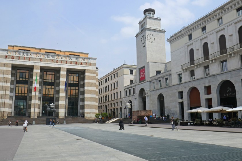
From our campsite near Iseo it was easy and inexpensive [€6.60 each] to take the train to Brescia for the day. This proved to be an excellent and relaxing day out in a lovely city that has plenty to offer. We arrived without a map but this was no problem as Brescia handily has signposts to all the major attractions in the city. Our first stop was the monumental Piazza della Vittoria, a 1930s piazza that is striking and I rather liked its brutalist charm. The post office with tall striped columns dominates one end of the piazza and Brescia’s first skyscraper is here, a 40-metre high brick structure with decorative details.
Through a collonade is Piazza della Loggia, an attractive 15th century Renaissance piazza that contrasts sharply with Piazza della Vittoria. Piazza della Loggia has buildings and memorials to many important events in Brescia’s history. Below the clock is an emotional memorial to a bomb attack by fascists against an anti-fascist demo on 28 May 1974. Nearby there is a statue remembering those who died in the 19th century ten-day rebellion against Austrian rule. The piazza is dominated by the ornate palazzo, now the town hall. Opposite this is a 16th century clock tower whose clock is only of limited use for a time check as the dials of the clock show the phases of the moon and the signs of the zodiac. Two charming figures, ‘i macc de le ure’ or ‘Toneand Batista’ strike the hours on a bell. There are cafes around the piazza and it is a lovely place to stroll or sit and people watch.
We continued to Piazza Paulo VI which is packed with important and impressive buildings and symbolises the religious and civic power of Brescia. Most unusual is the old cathedral; this circular structure was built in the 11th century and was disappointingly closed when we were there. Next to this is the new cathedral, a more frothy building from the 17th century. We chose to sit in a lively cafe and have our lunch in this grand piazza.
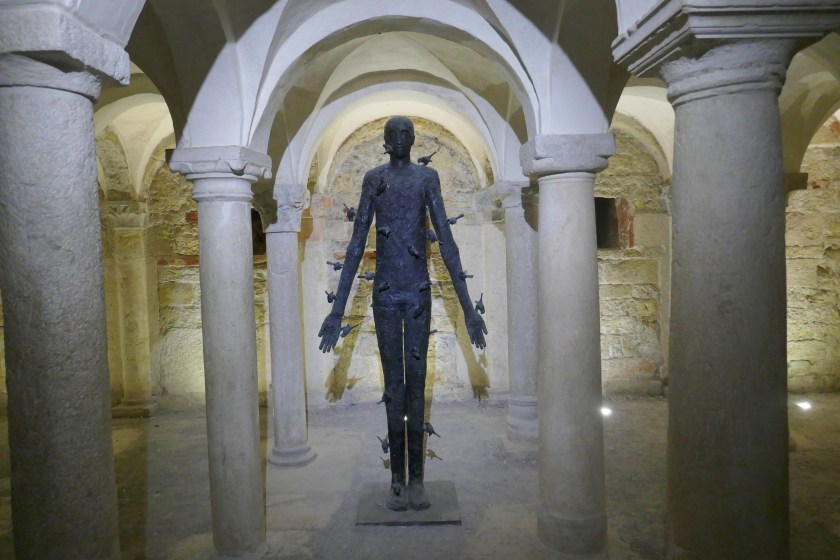
We followed the signs for the Museo di Santa Giulia a unique and complex museum, housed in an 8th century Benedictine nunnery. The museum site comprises exhibits within buildings that are within buildings; the whole spanning many centuries and this can make it difficult to fathom at first but I found the self-guided tour with information in both Italian and English helped me to understand the context and history. On this vast site there are three churches including Santa Maria in Solario which has extravagant colourful frescoes. Also beautifully decorated is the nun’s choir where the Benedictine nuns of the Santa Giulia convent took part in services while hidden from view. There is a crypt and Renaissance cloisters too that visitors can explore. Dotted around the buildings are modern sculptures that I felt contributed to and enhanced my enjoyment of this museum. Underneath the monastery garden archaeologists found the remains of Roman villas and I followed the walkways over these buildings; the perspective from above gave a good sense of the layout of the villas and great views of the intricate mosaics.
As if all those buildings and art were not enough, the museum also includes displays of artifacts from Roman to Venetian periods of Brescia’s history; something for everyone’s interest but you would need days to look at everything. A big draw is the Roman bronze life-size winged victory statue from the 1st century. This impressive bronze of a woman draped in a cloth glimmers with layers of beautiful colours and appears to move and flow.
The whole of Santa Giulia is harmonious and interesting and exploring this amazing museum took so long we ran out of time for Brescia’s other sites. We will have to return to Brescia one day to see the castle, all the Roman remains, the Museo delle Mille Miglia … .
We finished our day in Brescia back at the elegant Piazza della Loggia. We sat relaxing with a beer in a cafe and listened to the clock strike the hour before catching the train back to Iseo.
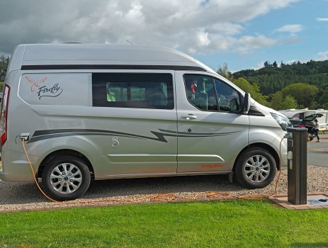
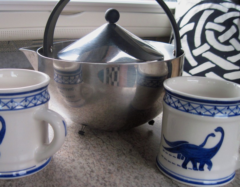
We use our Portuguese dinosaur mugs every day in our campervan
For the first thirty-years of my life I was waiting for the internet to become available; I wasn’t clever enough to put my finger on just what it was I needed but when it arrived I knew the internet was going to become an indispensable part of my life. I know we all managed without it through the dark years but so many things would have been so much easier if it had come along just a bit earlier. I use the internet for many things but for me as a travel writer it is particularly useful for planning and writing about travelling and holidays. Here’s a list:
Campsites – Through the 1980s and 1990s we took our young son on backpacking holidays around Europe; trips that required a bit of planning. Months before our trip we would write to various tourist information offices requesting leaflets about the area. We might find some details about local campsites in these or in a Rough Guide but we would have little idea how good or bad the sites were until we arrived. I have lost track of the number of times we have trekked out of a town to a campsite only to find it is either full, unfit for human habitation or closed. While this can generate fun travellers tales after the event at the time it was always stressful as we sorted out overnight accommodation for a family of three.
Train timetables – A few kilos of the weight in our packed rucksacks was due to the hefty European timetables book. This is a marvellous publication that opens up all sorts of possibilities and I always loved browsing through it but it isn’t very portable. Just think if we could have checked train times on our phone! We always travelled to Europe by train and booking these trains required joining a long snaking queue at Manchester Piccadilly around eight-weeks before we travelled to select the complex combination of trains and couchettes we needed to get us to Italy, Spain, Germany or Czechoslovakia.
Local bus times – We might receive some general information about local buses in the brochures from the tourist information centres but, as we often had little idea where we were actually going or what there was to do in an area, we had to spend a chunk of our holiday time seeking out this information in person. Hanging around information centres was an aspect of our holidays that was always particularly boring for a small child. I remember booking our trains back from what was then Czechoslovakia; this involved firstly finding the right office and then hanging around for many hours with mostly little idea of what was going on as systems were checked and connections calculated.
Buying maps – Before the internet I either bought maps locally or had to take a trip all the way south to Stanfords in London to buy maps for foreign places (although you could ring and talk to the marvellous and knowledgeable staff, send a cheque and buy that way). Not having a map is not an option for me, I like to know where I am. I still get a thrill from being able to search online and buy maps from the comfort of my own home.
Top attractions – Today there are so many websites to check out what there is to see in a city, there is no danger of missing the top sites [I doubt anyone wanders around Milan failing to find the Teatro alla Scala anymore]. For those ‘must see’ attractions with long queues you can now book timed tickets in advance. We would miss this convenience now wouldn’t we?
Staying in contact – Trying to get to grips with the bureaucratic nightmare of an Italian post office takes any fun out of sending postcards; even finding the right queue for stamps to the UK is mystifying. When eventually we had purchased the correct stamps we would spend hours writing these postcards [trying to think of something different for each one] before sending them home; if we were lucky they might arrive before we did. Today friends and family can read my blog or we can send texts or emails as we travel.
Learning the lingo – We bought a cassette tape and book to learn Czech as this wasn’t a language our local library kept in stock, otherwise we borrowed language tapes for a few weeks at a time to try and get to grips with a language. Today I can learn as many languages as I want via Duolingo for free, how cool is that.
For all my talk of living simply and frugally you will spot me for a fraud when I tell you about my favourite food. It is something that is an extravagant and unnecessary item that can hardly be considered food at all. Although there are numerous different foods I enjoy, it is ice-cream that makes me happiest. Even on a cool day, my first lick of a cornet will take me on a journey to other days in sunny climes and places I have eaten favourite ice-creams, delicious pistachio ice-creams in Italy, ice-cream dipped in melted chocolate in Eastern Europe and thick dairy farmhouse ice-creams in England and Scotland. In my view, frozen cream combined with different flavours is heavenly, preferably in a good quality cornet [the ice-cream stall in Bouillon in Belgium is worth seeking out as they make delicious fresh waffle cornets while you wait as well as creamy ice-cream.]
Although if forced I will eat ice-cream at home, for me, this is really something to enjoy in the outdoors and is very much part of my life as a traveller. I will often search out individual ice-cream parlours when we are away in the campervan. On our trips we have discovered the luxurious Emilia Cremeria in Modena and the magnificent Portsoy Icecream in north-east Scotland and many more.
But we can’t always be away from home and in Manchester we are lucky to have Ginger’s Comfort Emporium in the city centre. This cafe among the eclectic market stalls of Affleck’s makes ice-cream for grown-ups, with unusual combinations of flavours. The salted caramel and peanut butter [aka Chorlton Crack] is really a meal in itself so get over to Manchester when you can, winter or summer.
Drink the coffee; it is good and affordable. Outside of tourist resorts, Croatian cafes rarely sell cakes or anything at all to eat [but bakeries generally have excellent cakes you can buy and eat with your coffee]. Buy a coffee and you can linger and watch the world go by as long as you like.
The coastline of Istria is beautiful but take the time to explore inland. We walked the 10 kms St Simeon Path that winds steeply down from the stone village of Gračišće to a stunning waterfall that falls into a turquoise blue pool and then climbs through woodland back up the hillside. We also cycled along the some of the Parenzana cycle trail around Motovun, a wonderful walled hilltop town with stunning views.
Paklenica National Park is a fantastic place for walking and climbing but it is also popular and it is worth turning off the main valley route where you will quickly find solitude. Mala Paklenica is a narrow gorge where the walking is more difficult but worthwhile and just outside the National Park there are scores of other walking and cycling opportunities. We followed the trail to see the mirila above Starigrad, fascinating engraved stones up to 300-years old that mark the places where bodies were laid down to allow the bearers to rest during the journey from their mountain hamlet to the cemetery.
Krka and PlitvickaNational Parks both get very busy with coach loads of tour groups, as well as individual visitors as seeing the waterfalls is an understandably popular activity. It is worth arriving as early as you can to miss some of these crowds and enjoy the views in tranquillity. We arrived at Krka at 09.00 and enjoyed the early morning peace before the rush.
Don’t miss Zagreb out of your Croatian itinerary, it is a pleasant and lively city that is easy to walk around. The city has plenty of green spaces to relax in, more cafes than you will ever need and for lunch you can visit La Štruk and enjoy a baked cheese štrukli – this is the only dish the restaurant serves and it is delicious and filling. For culture we visited the unique, heartbreaking and sometimes amusing Museum of Broken Relationships.
Camping Slapić near the small town of Duga Resa is an idyllic spot to relax. There are cycling and walking routes from the site or you can just sit and watch the clear waters of the river pass by. The Croatian campsites we stayed on were generally of a high standard and well run.
Veliki Tabor sitting on a hilltop north of Zagreb is everything a European castle should be and it will charm you.
In a previous post I mentioned how gorgeous it is around the village of Samobor so I couldn’t miss it out of this post too.
North-east of Zagreb we were enchanted by the city of Varazdin with its garden-cemetery and pretty historical centre and castle. This is certainly somewhere that needs a campsite so that visitors can stay longer.
Croatian people will be so happy if you learn just a few words of their language. Just being able to say hvala [thank you] and dober dan [good day / hello] will get you a long way.
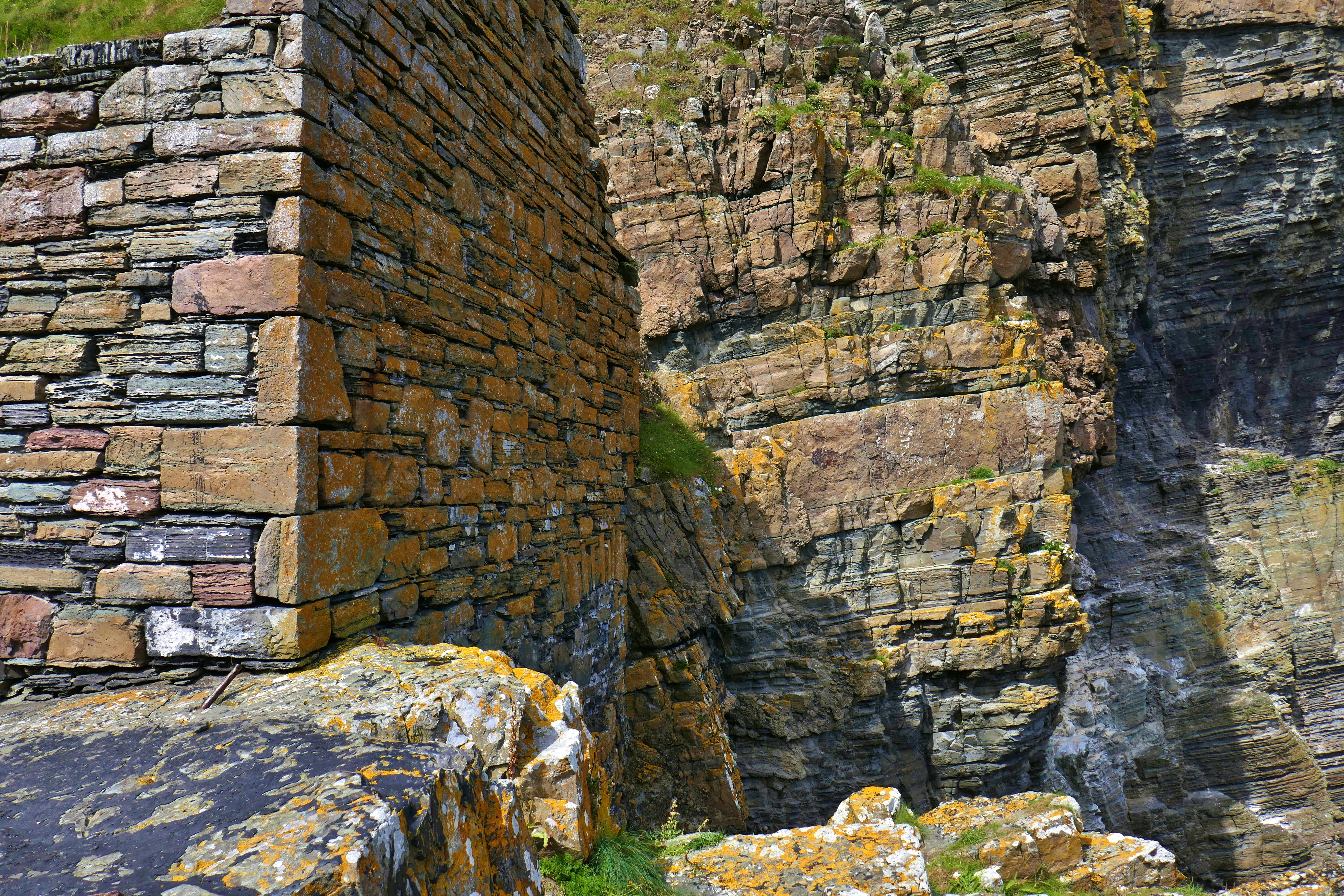
The abandoned harbour buildings at Whaligoe and the cliffs merge
You might not think about it but you will notice when buildings are made from local stone. You will sense that these buildings merge with the landscape, they fit in and sit comfortably and harmoniously in their setting. The example in the photograph is from Caithness but once you start looking you will see buildings created from local stone everywhere you go. Last summer we climbed the steep descent of Whaligoe steps. These old steps wind down the cliff to a tiny sheltered harbour that is hidden in a fissure in these sedimentary rocks. Fishermen once launched their boats from here and when they returned with a catch, women gutted the fish and carried the heavy loads back up the winding 300-plus steps to sell them at market. The harbour and steps were built from local Caithness flagstones and have been lovingly restored by local volunteers; the sedimentary sandstone splits easily to make excellent building materials. When these sandstones meet the sea they result in sheer cliffs that create ledges for nesting seabirds. The sea exploits the cracks in the rock forming fissures, sea stacks and arches and creating a dramatic coastline.
It was Richard Fortey’s wonderful book, The Hidden Landscape that first got me thinking about the place of vernacular buildings in the landscape and their relationship with the underlying rocks. He writes evocatively about the hidden rocks that shape the personality of a landscape, dictating the soil, the plants and the buildings, describing how slate roofs and thatched cottages can be traced back to the geology of an area. His book begins with a journey back in time:
‘I travelled to Haverfordwest to get to the past. From Paddington Station a Great Western locomotive took me on a journey westwards from London further and further back into geological time, from the age of mammals to the age of trilobites… Under the River Severn and into Wales, I was back before the time of the dinosaurs, to a time when Wales steamed and sweated with the humid heat of moss-laden and boggy forests in coal-swamps, where dragonflies the size of hawks flitted in the mist; and then on back still further in time, so far back that life had not yet slithered or crawled upon the land from its aqueous nursery.’
Cycling by the Croatian coast near Starigrad Paklenica
Perhaps all our spring holidays are destined to have an ‘incident’ and if a bicycle accident is as bad as it gets on this trip then we are happy enough [although no incident at all would be better]. We were visiting the lovely town of Samobor, a short distance north-west of Zagreb and in a region famed for its wine and the grapes are grown in small strips of vineyards on the steep slopes. Samobor’s main square is packed with cafes, many of them serving the local speciality cakes, kremsnita, a light and fluffy version of a vanilla slice. These are delicious and we tucked in to a slice each while considering how friendly all the Croatian people we had met were. In every cafe and campsite people had been helpful and welcoming and also pleased when we used our four words of Croatian. We speculated whether Croatian people were naturally nice or if all these people were just good at their tourism jobs.
Our lovely campsite was a two kms easy cycle ride in to Samobor’s town centre along flat roads. Climbing back on our bikes after our cakes we found the one-way system took us up a hill and as we then descended a steep residential street a breeze caught my much loved Portuguese sunhat I was wearing and I stupidly put a hand up to save the hat. At that moment time went in to slow motion as it dawned on me that I was losing control of my bike and I was going to hit the tarmac.
Every part of my body hit the road in some way. My lovely calm husband made sure I was safe and gently untangled me from my bike. I could hardly move as I cautiously checked the many different parts of my body that hurt and when I did try and sit upright dizziness overcame me so I stayed lying down. Over the next thirty minutes every Croatian who passed us by, in cars, on foot and other cyclists, stopped to ask if they could help, reverting to English as soon as they realised we weren’t Croatian; their kind-heartedness was both natural and extraordinary. One man from the street bought a bottle of water, other local residents offered a pillow and everyone asked if they could call an ambulance for us.
I hoped I would be able to get back on my bike but it became apparent this might not be possible in the short-term and so Luka and his brother Noah, whose house I had fallen outside, came up with a plan to help. They stored my amazingly undamaged bike in their garage, helped me in to their car and drove me the short distance to our campsite. Hubby followed on his bike and then Luka and Noah took him back so that he could return on my bike; what heroes! During our car journey I was still in shock and at first could only keep repeating ‘Hvala’ [thank you], ‘You speak Croatian!’ Luka delightedly exclaimed. I managed to pull myself together enough for conversation and Luka, Noah and I found a shared love of Manchester United, we talked about the many beautiful places we had seen in Croatia and they told me about their studies. They were both exceptionally generous human beings.
At the campervan I investigated my injuries, cleaned up the cuts and grazes, got out the ice packs and ibuprofen and counted my lucky stars I had no broken bones. My left wrist was sprained, a rib cracked, my right hand had some wounds and there was blood on my face from grazes. In truth it is easier to tell you where I don’t have any bruises than describe where they are. The right side of my face soon swelled up and after a couple of days the bruises emerged from underneath my tan. I keep forgetting about this visible sign of my injuries and then wonder why people are looking at me strangely, children must be saying to their parents, ‘Why has that woman got a blue face?’ I can’t open a jar of olives just at the moment, reaching up to all those high cupboards in the ‘van is painful and getting comfortable at night is tricky [even with painkillers] but it could have been so much worse.
Falling off my bike is a drastic way to test the goodness of the people of Croatia but we can now confidently say that Croatia is not only beautiful it is also truly friendly.
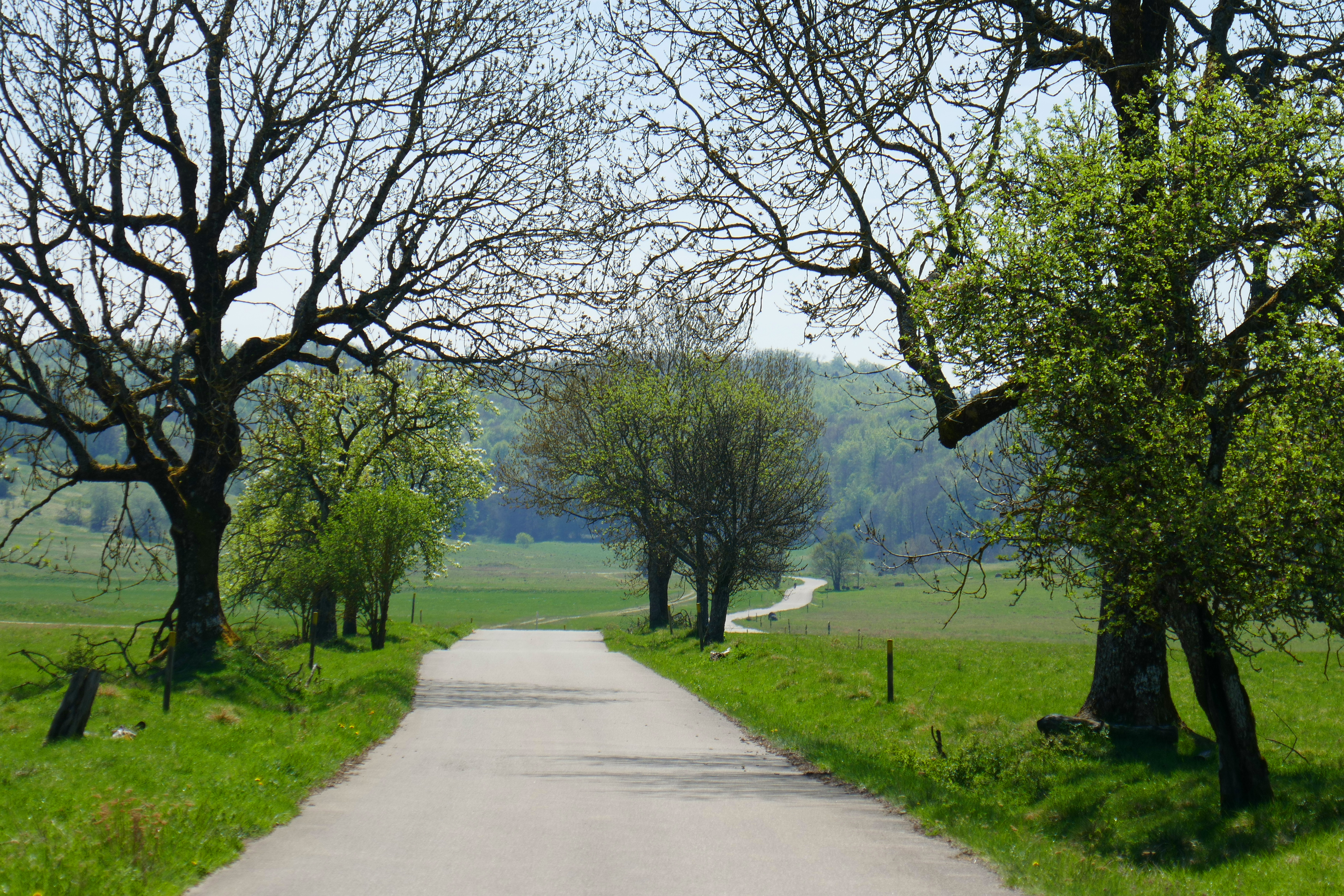
The Swabian Alb biosphere near Münsingen is perfect for cycling
We rarely plan much when it comes to our trips around Europe, so much depends on what we want to do, how we feel and the weather. And so we rolled in to Hofgut Hopfenburg campsite near to the pretty town of Münsingen in Baden-Württemberg and south of Ulm expecting little more than a comfortable place to overnight. We received a friendly welcome and I left reception with a local cycling map and information about the nearby Swabian Alb biosphere, a local nature reserve. This looked promising so we decided to stay and explore.
The campsite is terraced and so pitches have a view across the town to the gentle green hills beyond. The facilities are excellent with good hot showers, indoor washing up area [you remember how important I think that is] and were clean and modern. Wonderful fresh bread was available every day and the campsite runs a small shop selling local products. As well as touring pitches the site has a collection of wooden Romany caravans, yurts, tipis and some chalets so visitors have a choice of accommodation. While we were staying a wedding was held in the garden.
If you are using this marvellous campsite as a stop-over there is a nature reserve accessible from the site where you can stretch your legs for an hour or so after a day of driving. This hillside reserve with meadows, woodland and an arboretum has views over the town and is also a pretty walk in to Münsingen.
For around 100 years [until 2005] the undulating meadows and woodland to the east of Münsingen were used as a military training ground. Initially by the German army and after 1945 by the French army who, in particular, used the area for tank manoeuvres. Inaccessible to the public the area in some ways stood still and the wildlife was protected, although always at risk of being blown up. Today this area is once again accessible and managed to protect the wildlife, although visitors need to stick to the paths because of the risk of un-exploded ordnance.
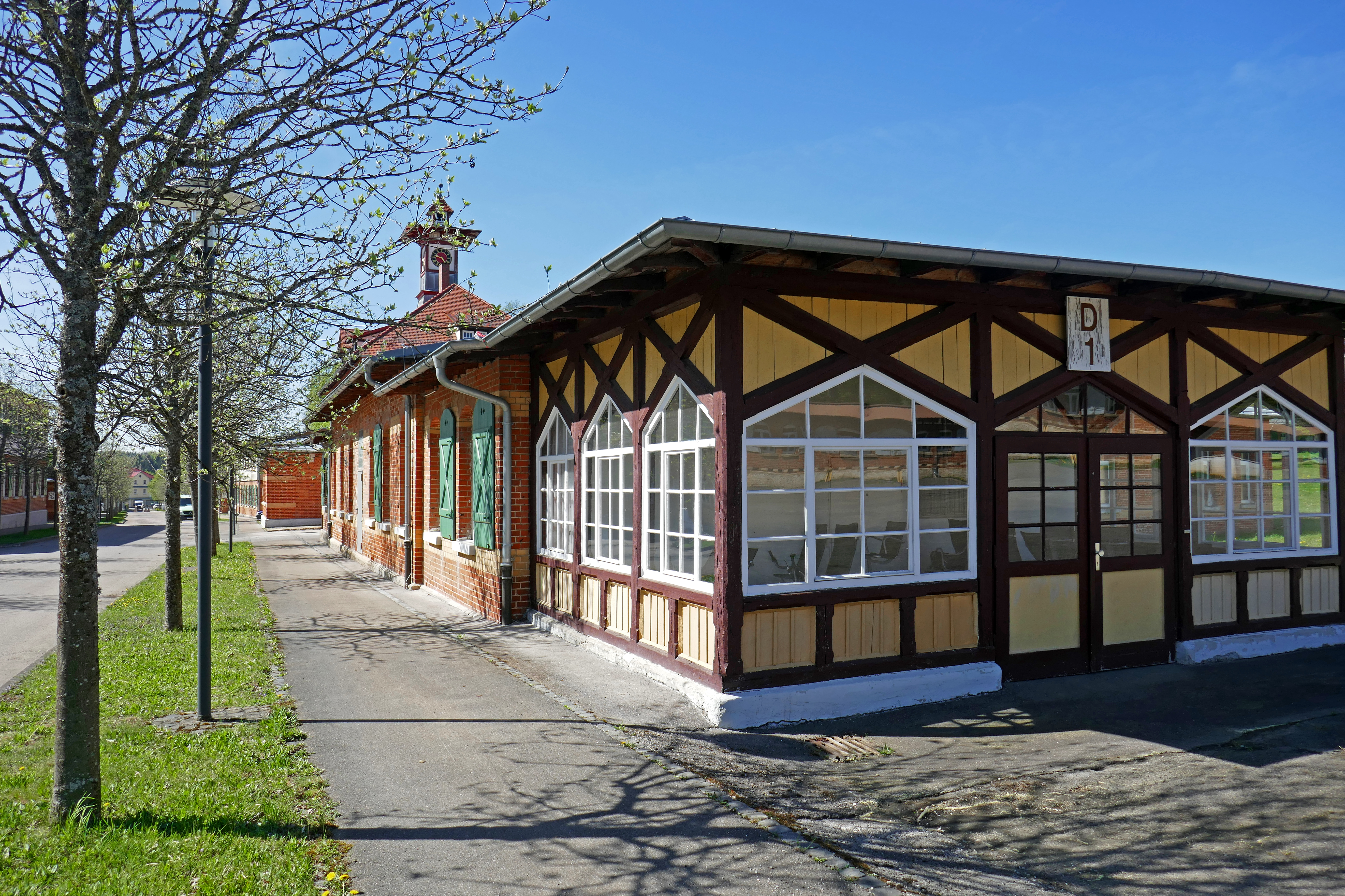
We began at the Biosphere Centre in the old military barracks which are surprisingly charming buildings. As well as the information centre there is an art gallery here but as we cycled around most of the buildings appeared to be empty. The Biosphere Centre has headphones with an English tour and we learnt a lot about the wildlife, geology, culture and the management of the area.
The tarmac paths around the reserve are perfect for cycling and are all way-marked and numbered. The area is fairly flat with only small hills to conquer and cycling is just the right pace to enjoy this landscape. On a sunny weekday there were few people around and we were happy cycling on these traffic-free routes lined with trees rich with blossom. In the fields are large herds of sheep that are managed to maintain the diversity of plants in the grassland and kestrels and buzzards hunted over the fields.
On a hilltop is the abandoned village of Gruorn. The villagers were forced from their homes to make way for the military training in 1939 and the houses were used for practice. Today the church and old school house have been restored and both can be visited. The schoolhouse has a museum about the village and a cafe. The churchyard is attractive and colourful with flowers and we sat in the sunshine enjoying a beer before continuing back to the excellent campsite.
Mr BOTRA and I have visited Scotland at Easter most years since 1981 [apologies if I’ve told you this before but it does tell you something about me]. I love going to Scotland and having been so often I am used to the variable Easter weather and the need to pack for every season. On previous trips we have had both heavy snow and warm sunshine [shorts and t-shirts needed] and every weather in between. This year’s holiday was no exception.
We used to go to Scotland for a week but now we are retired [yippee] we can go for longer. An early stopover was the lovely Sunnyside Campsite in Arisaig; we scrambled over the rocky bay in evening sunshine watching an orange sun go down behind the islands of Rum and Eigg. Only a few days later we reached the top of Fionn Bheinn [933 metres high] in low cloud and snow and getting no outstanding view for our efforts. This was particularly annoying because walking up the mountain we had been mostly in sunshine and had needed sunglasses to deal with the glare from the snow. It took a long time to get out of the cloud on the descent but once we had visibility again we relaxed throwing snowballs down the steep slope. We moved across to the Black Isle and on a dull cloudy day decided on an easy walk up Cnoc Fyrish a small hill [just 453 metres high] with a folly above Alness. As we climbed up the paths it started to rain and even on this small hill the rain became snow as we got higher. At the summit [again no view] we were in a winter wonderland and we played in the deep snow and built a snow robot that waved at us as we left the hilltop. A few more days later we were in shirt sleeves as we walked over the Corrieyairack Pass. Next a cold snap rolled in and we were wrapped in every layer we owned and still felt the sharp chilly wind as we looked around the impressive Linlithgow Palace on our way south.
We had perfect weather for a stunning short walk from Blair Atholl in to Glen Tilt. From the car park we followed attractive paths through woodland, stopping to watch agile red squirrels high above our heads. We emerged at a view point with a panoramic view along the glen. It was so peaceful and sunny here we kicked off our shoes and practiced our tai chi forms on the soft grass and in the fresh air before walking back down to the village with its splendid white turreted castle.
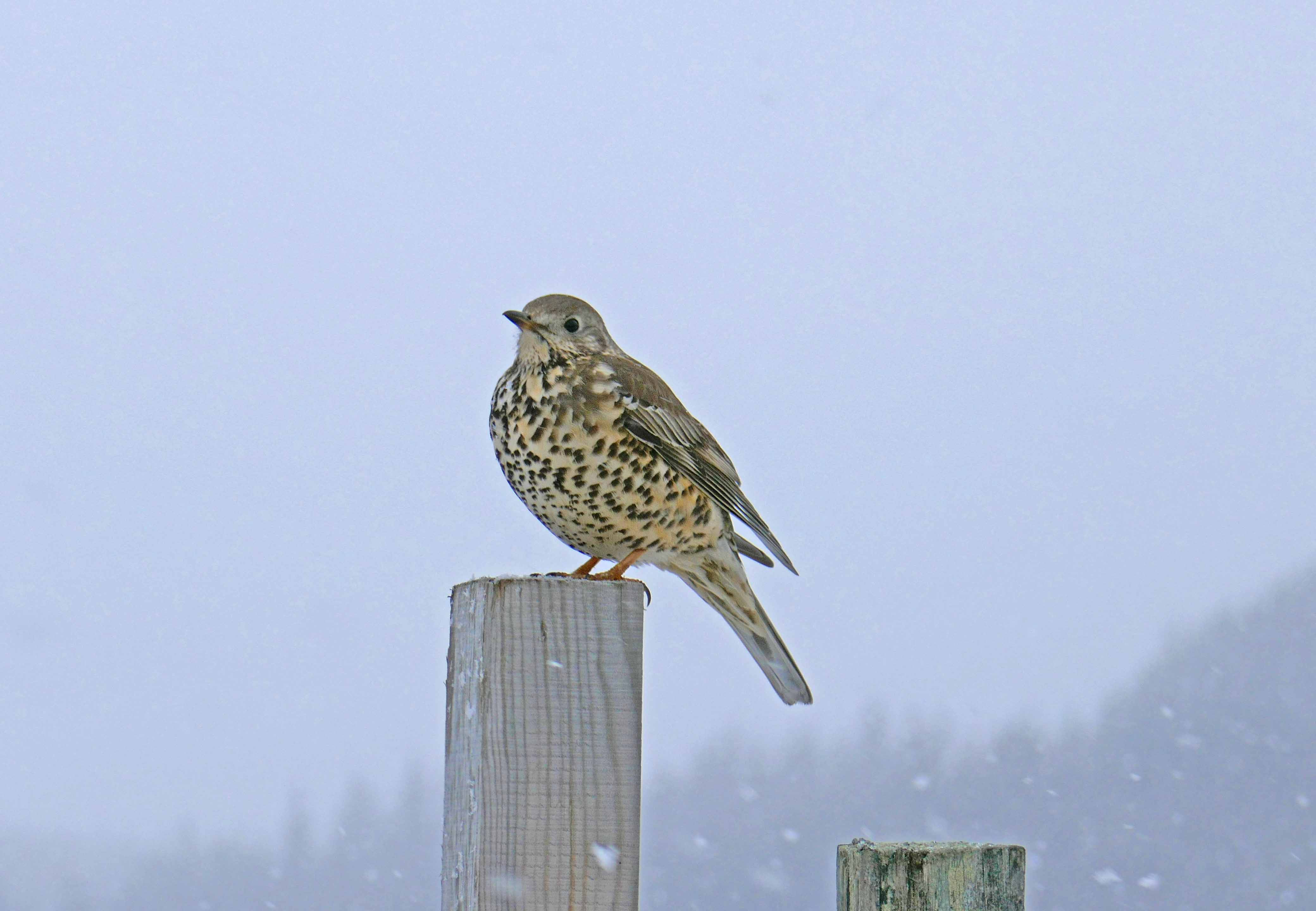
This year [as a birthday gift for our son] we booked a wildlife guide for a four-hour wildlife watching trip for us and son and daughter-in-law to give us a better chance of confidently spotting golden eagles. We spent a morning with John from Highland Nature based at Nethybridge and we experienced dramatically changing weather in the four hours we were out. John proved to be an excellent guide who took us to Strathdearn along the river Findhorn and revealed all manner of wildlife to us. As we set off it started to snow heavily and there was little visibility as we watched red squirrels scampering up and down the pine trees. We stopped to see golden plover and other waders by the river before continuing to the head of the valley. Stopping in the car to watch some sikka deer on the hillside we were entertained by a large horse in the field next to the road that was desperate for some attention. We wound down the windows to get a better look at the sikka deer and the large working horse insisted on putting its head through the window, blocking our view! We also spotted red deer on the hillsides and a group of feral goats sheltering in woodland. The mistle thrush I managed to catch a photograph of [above] was singing on a fence post as we drove down the single-track road. At the head of the valley John spotted a mountain hare on the hillside and we watched it through the scope quietly nibbling the surrounding grass that was showing through the snow. The snow shower eventually moved on and the valley was transformed by blue skies and sunshine in to a magnificent landscape blanketed in snow, bright in the sunlight. We saw a couple of golden eagles [helped by the younger and alert eyes of our daughter-in-law] making their way over the mountains, as well as a red kite, a goshawk and a peregrine falcon. On the river we watched a dipper marking its territory with song and the common gulls that nest here wheeled overhead. It was a fascinating and wonderful morning and I learnt so much from someone that is regularly out watching the local wildlife.
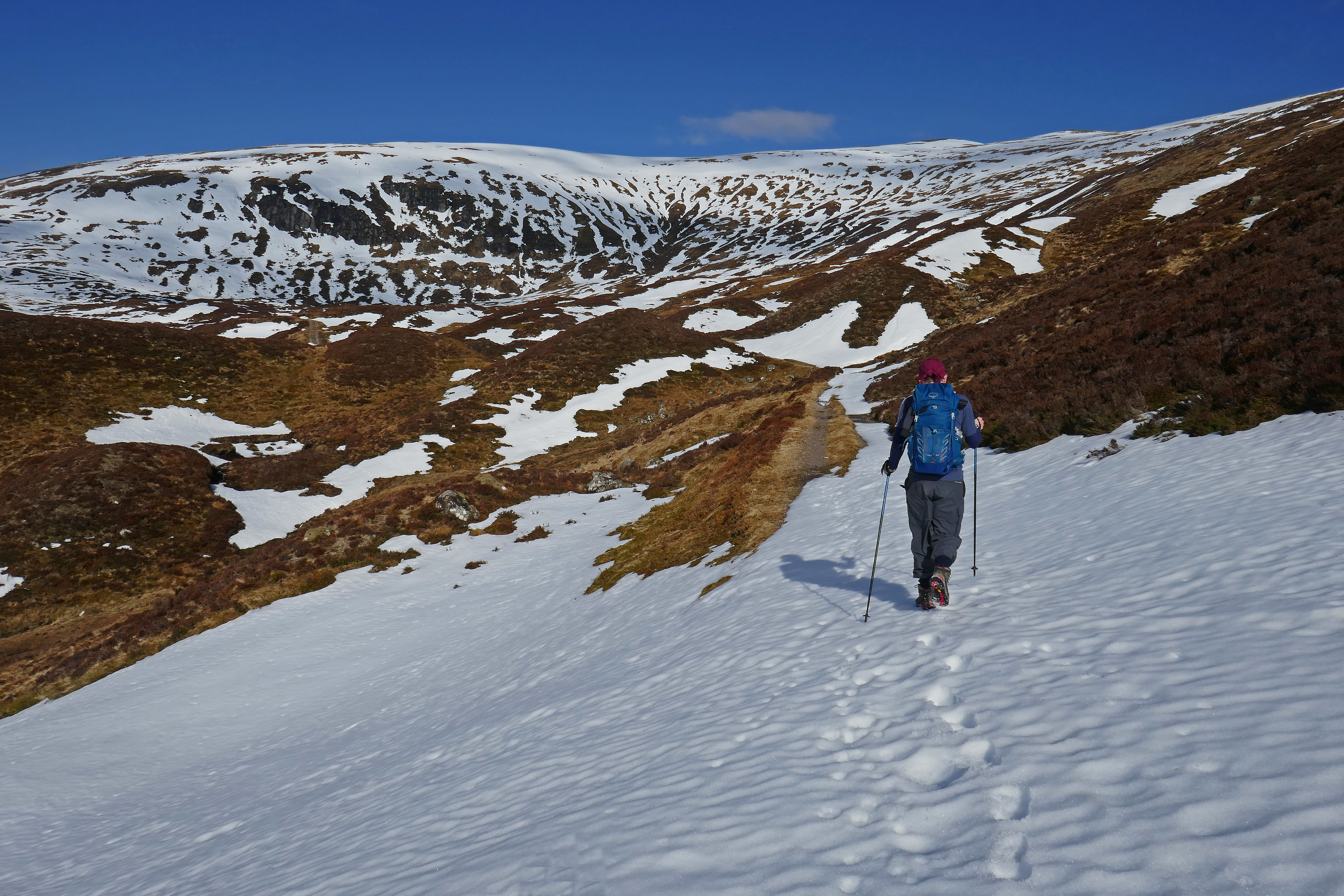
Okay, I admit it, I laughed when Anthony sank to his waist in the soft snow near the top of the Corrieyairack Pass, silly me as minutes later it was me that was floundering in the deep snow. Frustratingly, the snow would take our weight most of the time and then without warning one of us would cross a particularly soft and deep patch and down we would sink. Walking on this unpredictable surface was hard work and really not what we needed on a long day of 33 kilometres of walking but the sun was shining and I was achieving an ambition so didn’t complain.
We were tackling the Corrieyairack Pass, a remote old route that stretches across the Monadhliath Mountains in Scottish Highlands. In 1731 General Wade was responsible for constructing military roads across Scotland to enable troops to move quickly around northern Scotland and the Corrieyairack was part of his route from Fort Augustus, on the shore of Loch Ness to Laggan and Ruthven Barracks. It is now so long ago that I can’t remember when I first noticed this old road on a map but from the moment I did I knew I wanted to walk this route one day. This was the day.
We had left our campervan at 07.00 on a glorious morning, the mist hanging in the valleys and the promise of sunshine in the air. Our cheerful taxi driver told us stories about living in this part of Scotland and joined us in gasping at the beauty of the mountains reflected in the loch as he drove us to Garva Bridge where we intended to start our walk. From here it is 28 kms to Fort Augustus and 500 – 600 metres of climbing. The tarmac road continues a little beyond Garva Bridge to Melgarve where there is a tidy bothy with a fire and a wooden sleeping platform and a room called General Wade’s office. Cars are not allowed beyond Melgarve and we got in to the stride of the walk from here enjoying the isolation and peacefulness and the feel of the sun on the back of our necks as we took turns in spotting red deer on the hillsides. We had packed our rucksacks for survival in wintery weather but it was so warm we could have walked in shorts and sunhats.
Today the Corrieyairack is also crossed by pylons and these giant structures punctuated most of our route. At each stream I found what remained of the old stone General Wade bridges; a few of them are intact but many are gone. At Allt a’Mhill Ghaibh we had been expecting to have to paddle over the burn and were pleased to see a new wooden bridge had been constructed. By the corrie that gives the pass its name the route becomes steeper and General Wade constructed the road in a series of zig-zags. In early April weather after heavy snow the week before these were under a few feet of snow and so we tackled the hillside directly rather than taking the easier graded zig-zags.
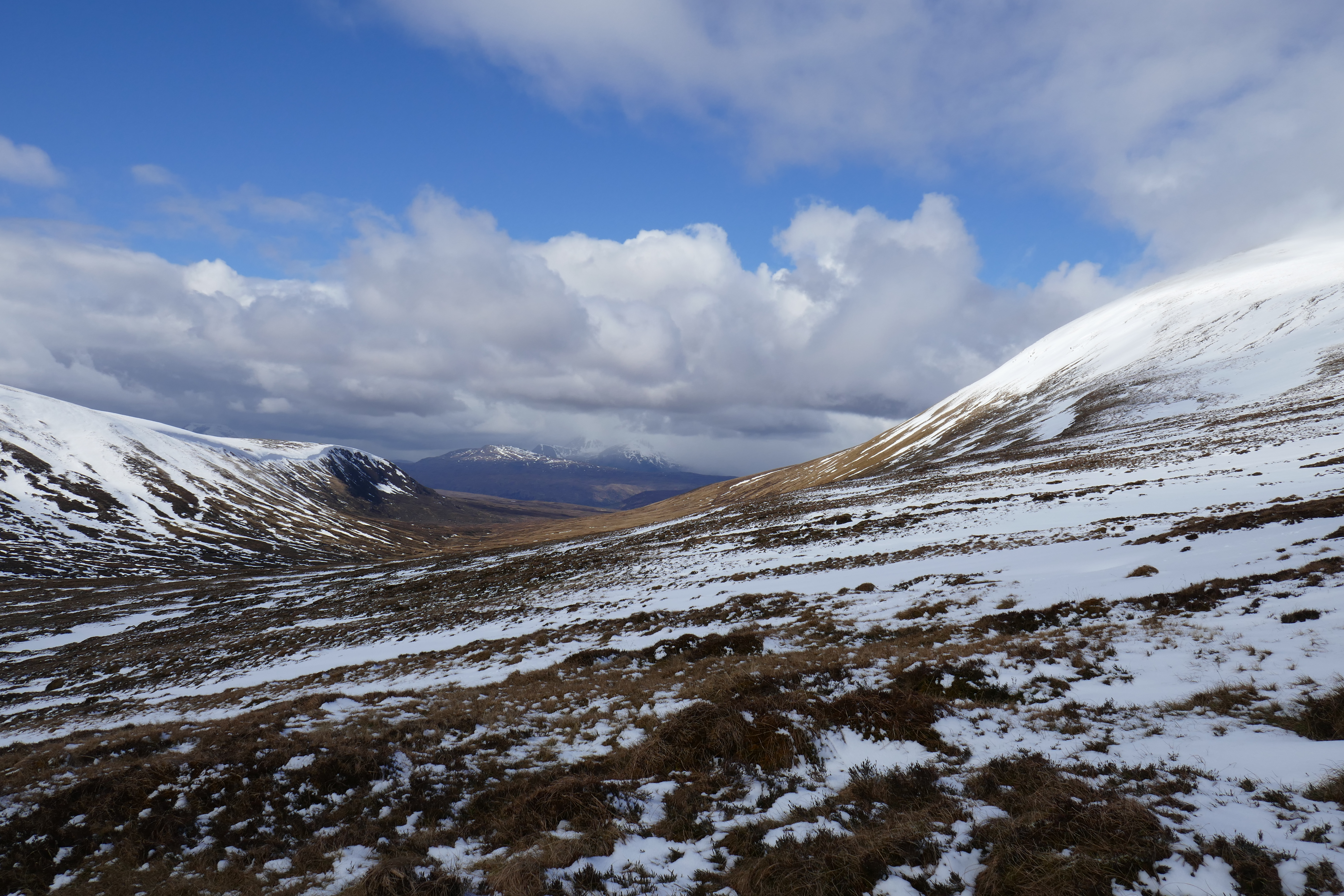
The top of the pass is at 770 metres (2,526 feet) above sea level and this exposed spot caught the wind and the snow was frozen and shone blue with ice crystals. We needed some of those layers we had been carrying here while we admired the view. This was breathtaking; snow-clad mountains stretched from left to right to our north and we struggled to take it all in, looking for any familiar shapes among the multitude of mountains. I posed for a photograph grinning at having achieved the top and tried to take in the beauty and the remoteness of where we were.
We had some difficulty route finding from the top with so much snow underfoot but in the clear conditions we headed left and eventually picked up signs of the familiar old road running parallel with the pylons. After the excitement of climbing up the pass our slightly longer descent could have felt a bit of an anti-climax but the Corrieyairack had kept some surprises for us.
We were delighted to spot three mountains hares in total; one sat by the old road, its long ears twitching alertly as we froze and watched before it scented us and hurried away. The hares were still in their white winter coat and soon disappeared in the snow. Once we were off the snow the route finding was once again easy and here there were wooden posts beside the track to mark it. With no one around we sang old songs as we descended and the panorama of mountains slowly disappeared. We stopped to rest by one of Wade’s stone bridges and on the bridge at Allt Lagan a’ Bhaihne we met the only other people we had seen since Garva Bridge, four cyclists on their way over the pass. I asked them where they were from, ‘Holland, said one, ‘You keep saying that,’ said another sitting opposite and explained, ‘We’re not from Holland we’re from the Netherlands.’ They asked about the snow conditions at the top and told us about their Scottish coast-to-coast route.
On the lower slopes of the Corrieyairack we saw red grouse flying low across the heather and nearer to Fort Augustus strips of heather were being burnt, the acrid smell didn’t encourage us to stop and rest. The end was in sight as we got our first glimpse of Loch Ness spreading out to the horizon. It was now the early afternoon and starting to cloud over after the bright blue start to the day as we passed the pink Culachy House.
The last section in to Fort Augustus is a pretty walk by the river and through a peaceful old burial ground. We arrived in Fort Augustus very tired and in our weary confusion failed to notice the bus stop and therefore watched the 15.12 bus to Inverness drive by. At Fort Augustus’ main bus shelter we checked for the next bus and found we had over an hour to wait. As we were dallying a tourist from Taiwan approached us for help and even in our befuddled state we managed to sort out her public transport needs (ask any of my friends, I missed my vocation as a travel agent). We watched three boats climbing up the series of locks on the Caledonian Canal and decided we had time for a drink before catching the next bus. On entering the nearest pub the bar man recognised two exhausted walkers and suggested a pint each, how could we refuse. In Inverness we feasted on chips in the amazing and popular Charlie’s Cafe, a real greasy-spoon of a place with motorbikes on display above the tables and started to revive.
The 18.45 train from Inverness got us to Newtonmore at 19.45 and we walked back to the campsite in the dusk. Every single muscle in my legs ached but despite the pain I was happy, I had at last walked over the Corrieyairack Pass.
Practicalities:
The Walk Highlands website has a description of the route.
We stayed at Invernahavon Campsite near to Newtonmore. They have some lodges and cute wooden caravans as well as pitches for tents and motorhomes.
We walked a total of 33.5 kms. Garva Bridge to Fort Augustus is 28 kms (Melgarve at the 6 km point, the top of the pass at 12 km, the hut at Blackburn at 18 km and you reach the road at 24 km). This took us eight hours to walk, other people could certainly do it in less time. From Newtonmore Railway Station we had a further 5.5 kms to walk back to the campsite, this took us an hour.