A Motorhomers Friend: William Rees Jeffreys

2011 July on Rees Jeffreys Road Fund car park at Rhaedr y cwm above Llan Festiniog
A gorgeous view from a Welsh Rees Jeffreys rest stop

My introduction to William Rees Jeffreys was quite by accident one sunny Sunday in the summer of 2011.  Travelling back to Manchester after a weekend camping in Dolgellau to walk the Mawddach Trail to Barmouth.  Keen to extend the carefree holiday feeling as long as possible, my partner and I took the country road from Llan Festiniog over the hills.  Spotting a car park with a view, we couldn’t resist stopping for a brew and a stroll.  The splendidly positioned car park had a plaque and always one to check out such things I learnt that the car park had been funded by the Rees Jeffreys Road Fund.  It certainly was an excellent place for a motorhomer to stop; no height barrier, an extensive view, a babbling stream and Rhaedr y cwm waterfall and enough bilberries to fill a pie all within a few 100 metres.

Like many brief encounters, I didn’t give Mr Rees Jeffreys another thought until twelve months later I had another chance meeting with this enigmatic fellow.  Once again on the lookout for a good place to pull up in the Blue Bus and have a brew, although without the good weather, we pulled off the M6 at Tebay (Junction 38) and followed the road towards Kendal.  Spotting a lay-by with a view across the M6 and the railway line to the Howgill Fells we pulled in and realised we were parking next to a familiar plaque.  The kettle went on and I climbed out, despite the drizzle, to read that the Rees Jeffreys Road Fund had also funded the construction of this road side parking.  Over a brew I starting wondering what the story was behind this man, why he felt the need to pay for car parks as far apart as Wales and Cumbria and why he deserved a plaque.

Back home, an internet search revealed some information about William Rees Jeffreys.  He was born in 1872, before Karl Benz had patented his internal combustion engine for a Motorwagen in 1886.  William Rees Jeffreys was a keen cyclist and was initially motivated in his campaigning to improve roads for cyclist.  As cars became more widespread, William Rees Jeffreys held positions with the Road Board (the precursor of the Department of Transport), the RAC, the Roads Improvement Association and the Institute of Automobile Engineers.  From 1919 he was a leading light in the classification and numbering of the roads in Britain to help drivers navigate.  The road classification project was complete in 1926.

Following his death in 1954, William Rees Jeffreys generously wanted to continue improving facilities for road users and his estate provided the endowment for the Rees Jeffreys Road Fund.  This gives financial support every year for education and research related to road transport and also for physical road transport projects, hence all the lovely road side parking areas.

Motorhomers always need car parks and lay-bys and those next to roads often suit our purpose of a rest stop on a trip, giving a chance for a brew and a quick stretch of the legs without going out of our way and here was an organisation providing just the facilities the motorhoming community needs.  So, interesting as the Rees Jeffreys website was, it lacked a list of the road side rest areas the Rees Jeffreys Road Fund had supported and I wanted to know more.  An email to the Secretary quickly led to the arrival of a Rees Jeffreys Road Fund roadside rests list in the post a few days later.  This typed list showed 68 rest stops they had supported, from Wester Ross in Scotland to Cornwall.  With the list, I was now able to plan holiday routes to include a Rees Jeffreys Road Fund road side rest areas.

2025 update – the Rees Jeffrey’s Road Fund website now has photographs and information about finding some of the roadside rest areas. It is certainly worth taking a look.

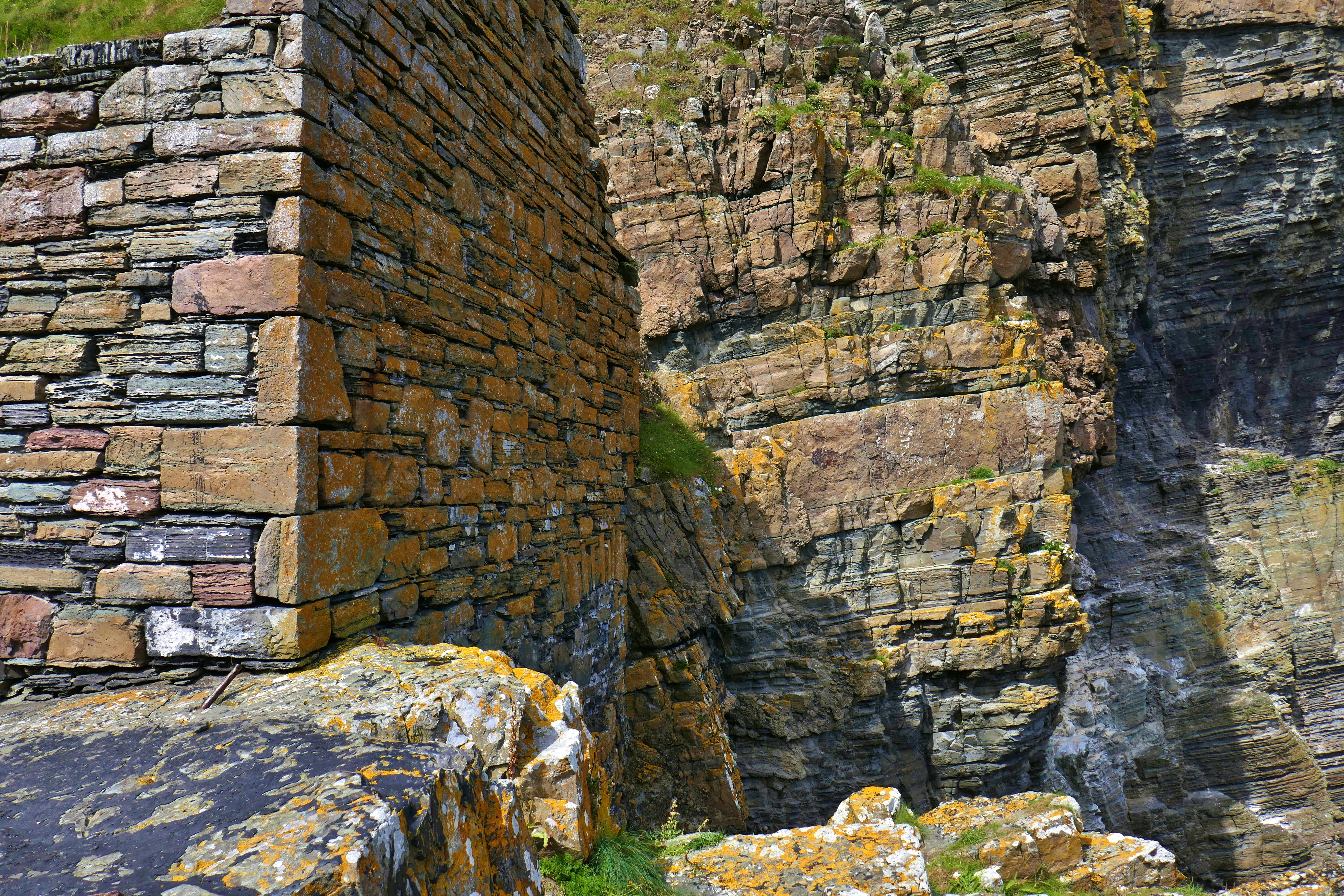
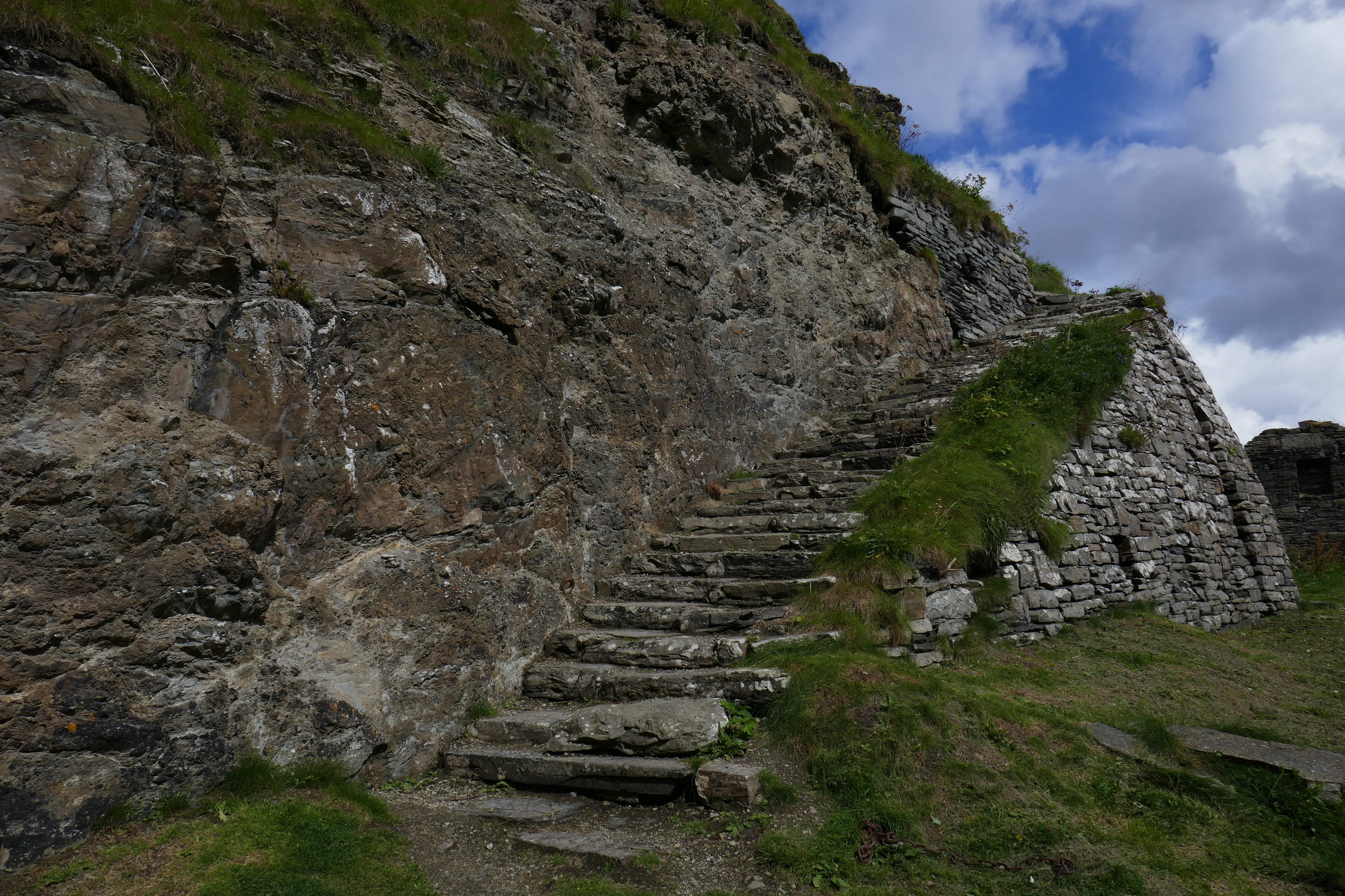
My next opportunity to meet my double-barrelled friend was on an early March trip to Pembrokeshire.  The delight of a quest like this is that you never know exactly where it will take you.  We had the small Cardigan Caravan and Camping site to ourselves and after star-gazing in the clear night sky; we woke to sunshine, white frosty fields and a frozen tap at the outside washing up facilities.   A warming breakfast slowly got us going and we drove the short distance to the small parking area on the B4582 for the Crugiau Cemmaes barrow.  The parking did not really merit the title car park but it had the usual Rees Jeffreys Road Fund plaque and did mean that we visited the round barrow, thought to be Bronze Age, and enjoyed the clear views over the Welsh countryside.

It is evident from the typed list that some local authorities have cottoned on to the availability of funding from the Rees Jeffreys Road Fund better than others and Pembrokeshire is clearly one of those, with six rest stops on the list, only matched by the Isle of Wight.  However, it soon also became clear that the list had some limitations; with no grid references or even road numbers, some were tricky to find.  Even with the help of online maps with street view, I never found the rest stop located at St David’s Road, Haverfordwest.

Not a person to give up on a friendship easily, the exploration continued further south with a couple of nights near Saundersfoot.  The generously sized lay-by at Wood near Newgale on the A487 was easier to find, although the extreme slope meant that even walking up and down the van was challenging.  Ditching the idea of brewing we enjoyed the wide view over Newgale Sands and St Brides Bay with fruit juice!

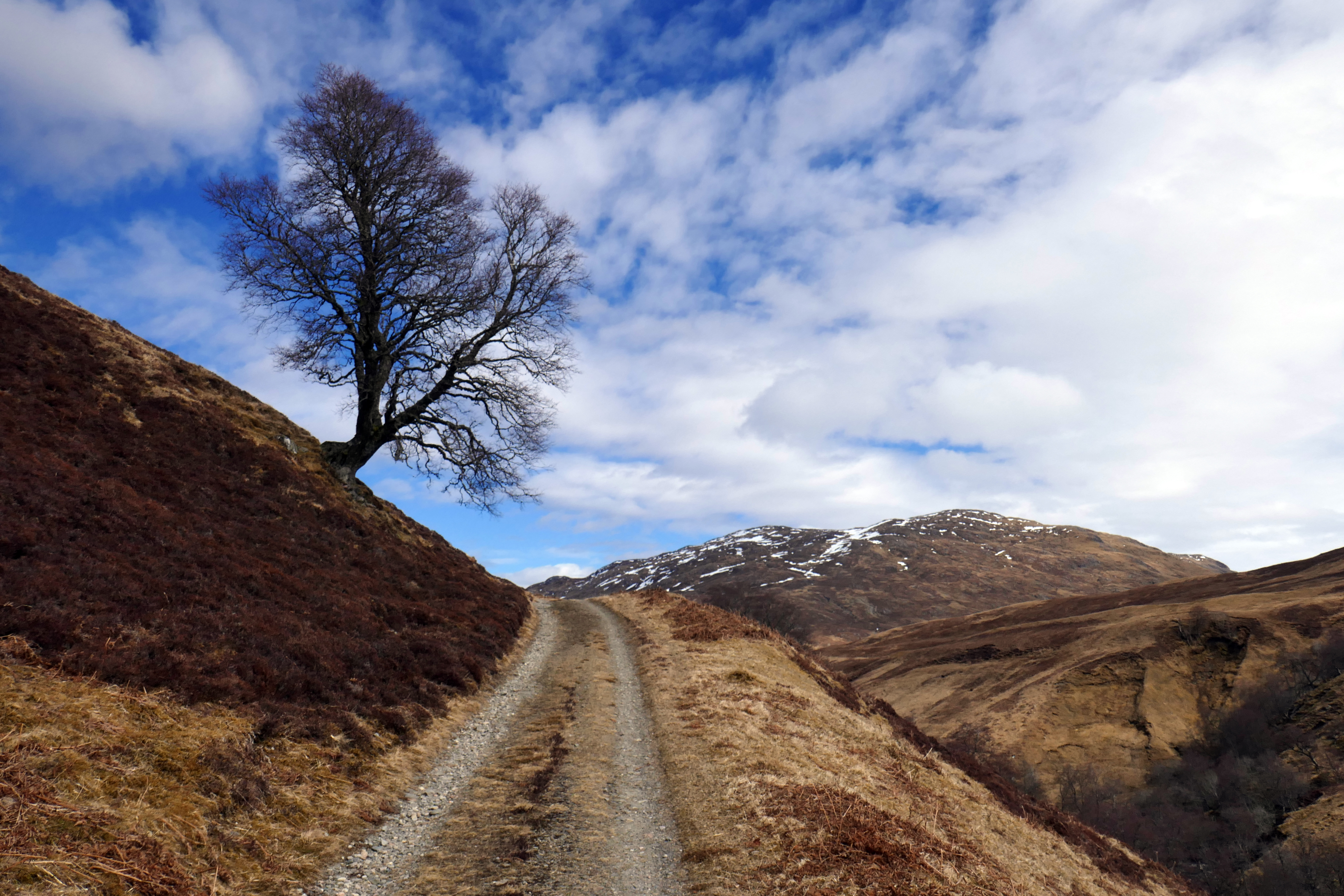
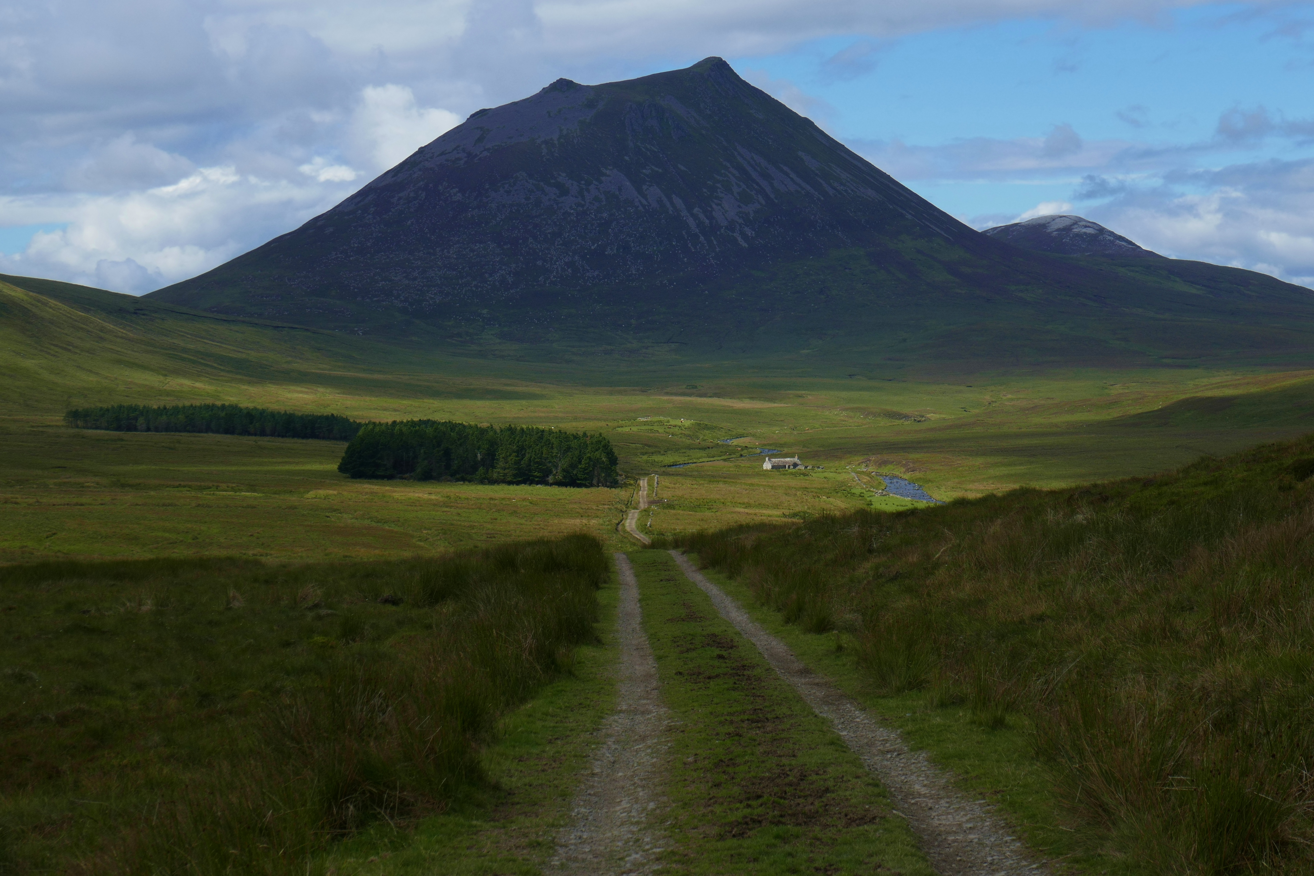
Heading north back through Wales, I sought out the only roadside rest listed in Powys.  Pont Marteg on the A470 north of Rhayader in the stunning river Wye or Afon Gwy valley was easy enough to find.  The beautifully sited car park had room for the Blue Bus and provided the opportunity I sought to stretch my legs and watch the Red Kites circling above.  It looked like a Rees Jeffreys Road Fund road side rest but a thorough search didn’t reveal the familiar plaque, so I couldn’t be sure.

The Rees Jeffreys Road Fund has over £7 million in the bank and uses the interest earned on this investment each year to fund mostly research projects and educational bursaries.  In 2017 no new car parks or road side rests were built but funding was given to encourage wild flowers on road side verges.   In 2016 The Rees Jeffreys Road Fund published a report on the need for a Major Road Network across England.

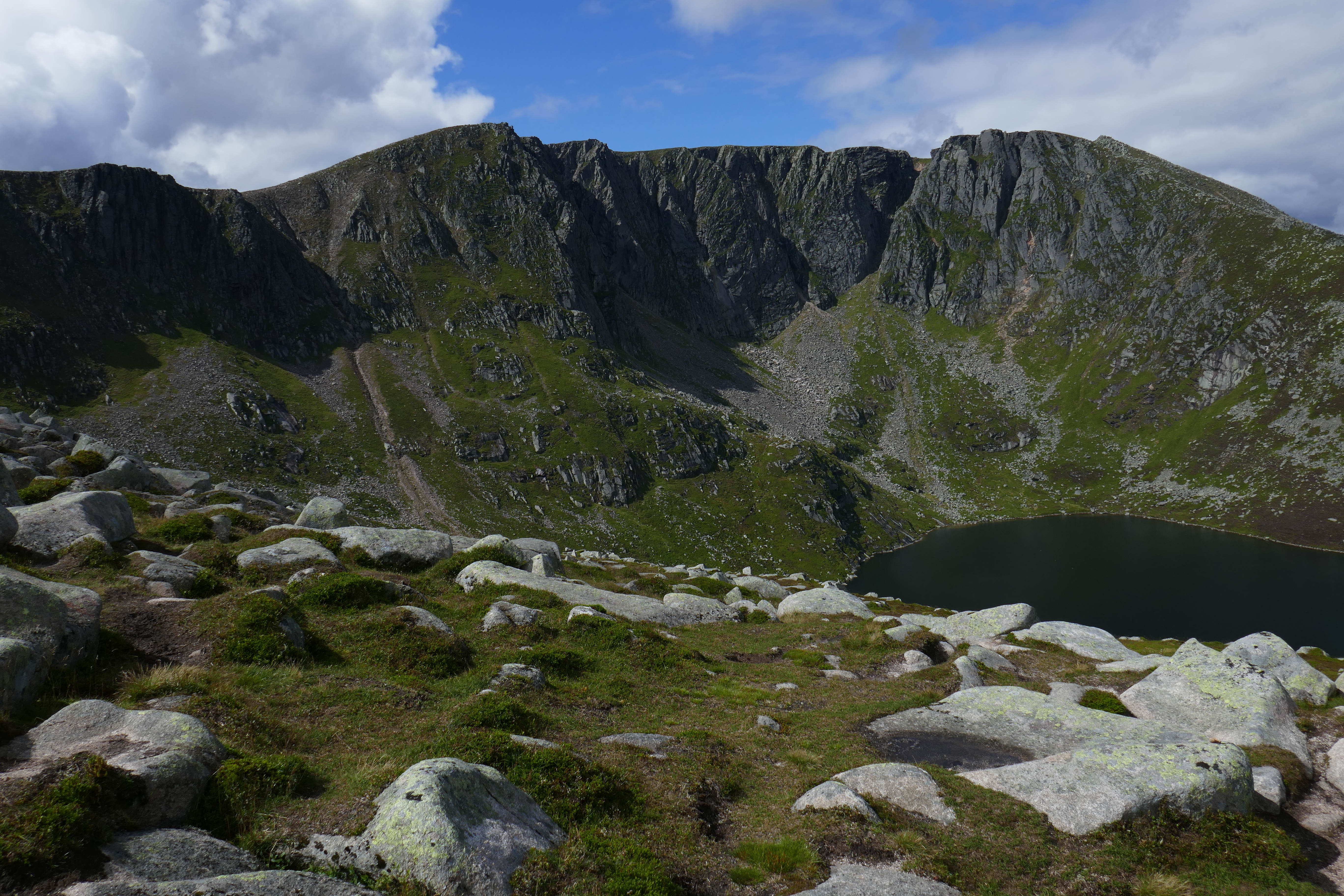
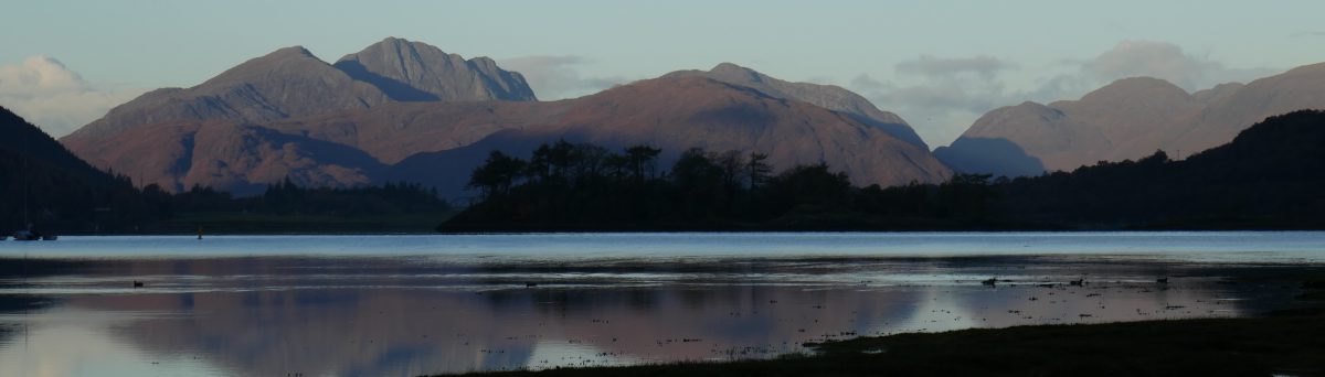
Having visited Rees Jeffrey Road Fund rest stops in England and Wales, I thought it was time to seek one out in Scotland.  Only twelve locations feature in the list for Scotland, so I wasn’t overwhelmed by the choice but a trip up to Oban and Mull at Easter was coming up and I got the list out and checked the map for possibilities.  I soon spotted that just north of Glasgow a rest stop was listed at Queen’s View on the A809 between Mingavie and Drymen that would work well with our route.  Only 45 minutes from the centre of Glasgow, the car park, funded by my old pal WRJ, enables the locals to park up and enjoy some fresh air and exercise.  From the car park a quick five minute pounding of the legs will take you to the view point where it is said Queen Victoria stopped to take in the view of Loch Lomond, the more energetic can spend two or three hours walking up to the crags of the strangely named hill, the Whangie.

The list of road side rests doesn’t give a year when a particular site was funded but the Queen’s View car park must have been some time ago, as even given the extremes of Scottish weather, the tarmac would benefit from renewing.  On a bank holiday, it was also busy and this spot didn’t provide the peaceful respite from driving I have come to associate with our esteemed friend.

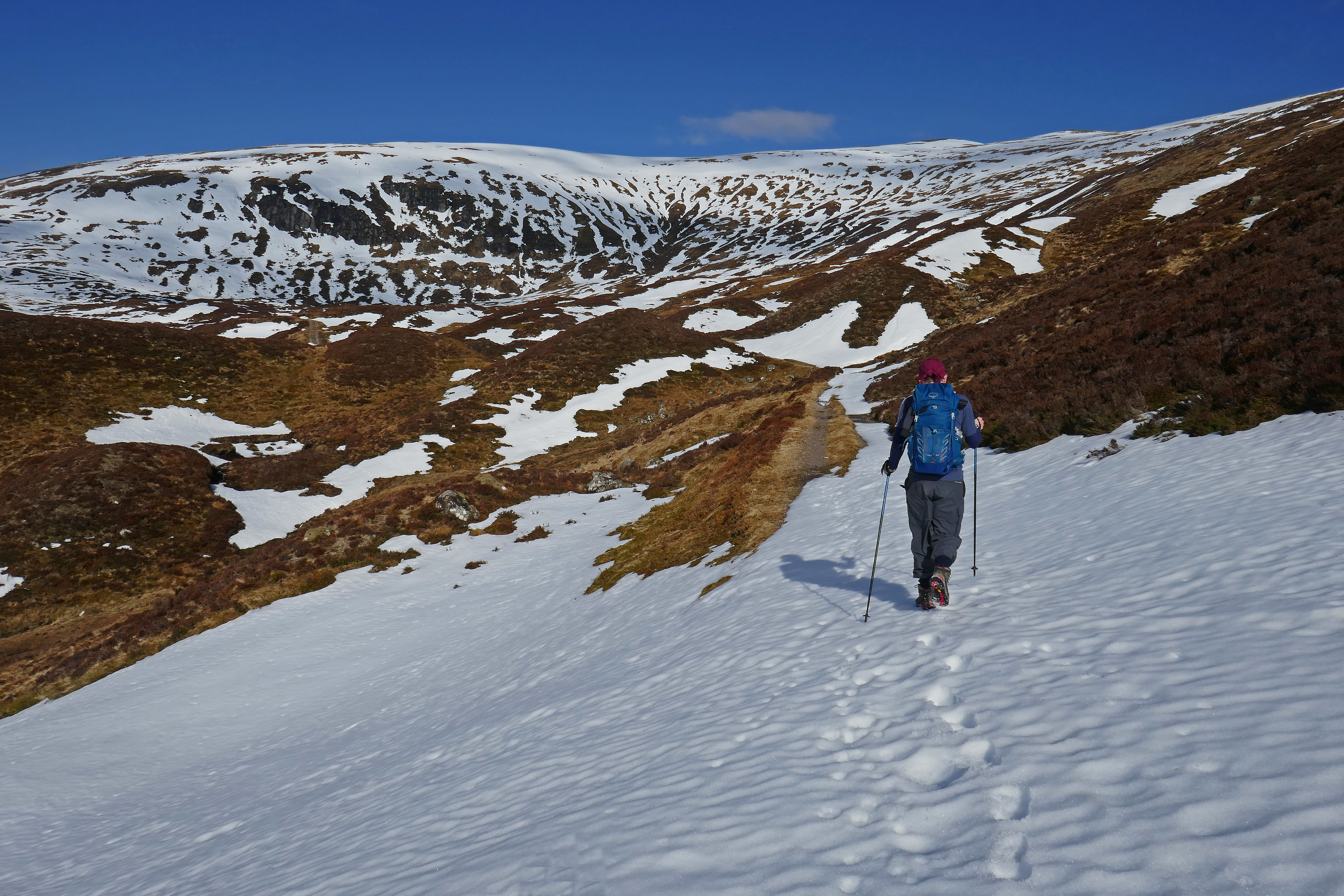
We also visited the Iron Gate car park in Flintshire on foot, as part of a snowy walk over Moel Famau and so now have 62 of the 68 roadside rests funded from the endowment of William Rees Jeffreys left to visit.  The list travels with us in the glove compartment of our campervan and I have no doubt that my acquaintance with William Rees Jeffreys will be maintained and I will continue to be grateful for his generosity to motorhomers and other road users.


Noticing local stone in Caithness

2017 July August Scotland (186) Whaligoe Steps.JPG
The abandoned harbour buildings at Whaligoe and the cliffs merge

You might not think about it but you will notice when buildings are made from local stone.  You will sense that these buildings merge with the landscape, they fit in and sit comfortably and harmoniously in their setting.  The example in the photograph is from Caithness but once you start looking you will see buildings created from local stone everywhere you go.  Last summer we climbed the steep descent of Whaligoe steps.  These old steps wind down the cliff to a tiny sheltered harbour that is hidden in a fissure in these sedimentary rocks.  Fishermen once launched their boats from here and when they returned with a catch, women gutted the fish and carried the heavy loads back up the winding 300-plus steps to sell them at market.  The harbour and steps were built from local Caithness flagstones and have been lovingly restored by local volunteers; the sedimentary sandstone splits easily to make excellent building materials.  When these sandstones meet the sea they result in sheer cliffs that create ledges for nesting seabirds.  The sea exploits the cracks in the rock forming fissures, sea stacks and arches and creating a dramatic coastline.

It was Richard Fortey’s wonderful book, The Hidden Landscape that first got me thinking about the place of vernacular buildings in the landscape and their relationship with the underlying rocks.  He writes evocatively about the hidden rocks that shape the personality of a landscape, dictating the soil, the plants and the buildings, describing how slate roofs and thatched cottages can be traced back to the geology of an area.  His book begins with a journey back in time:

‘I travelled to Haverfordwest to get to the past. From Paddington Station a Great Western locomotive took me on a journey westwards from London further and further back into geological time, from the age of mammals to the age of trilobites… Under the River Severn and into Wales, I was back before the time of the dinosaurs, to a time when Wales steamed and sweated with the humid heat of moss-laden and boggy forests in coal-swamps, where dragonflies the size of hawks flitted in the mist; and then on back still further in time, so far back that life had not yet slithered or crawled upon the land from its aqueous nursery.’

Three weeks and as many seasons in Scotland

Strathdearn day (2).JPG
A mistle thrush in the snow

Mr BOTRA and I have visited Scotland at Easter most years since 1981 [apologies if I’ve told you this before but it does tell you something about me].  I love going to Scotland and having been so often I am used to the variable Easter weather and the need to pack for every season.  On previous trips we have had both heavy snow and warm sunshine [shorts and t-shirts needed] and every weather in between.  This year’s holiday was no exception.

We used to go to Scotland for a week but now we are retired [yippee] we can go for longer.  An early stopover was the lovely Sunnyside Campsite in Arisaig; we scrambled over the rocky bay in evening sunshine watching an orange sun go down behind the islands of Rum and Eigg.  Only a few days later we reached the top of Fionn Bheinn [933 metres high] in low cloud and snow and getting no outstanding view for our efforts.  This was particularly annoying because walking up the mountain we had been mostly in sunshine and had needed sunglasses to deal with the glare from the snow.  It took a long time to get out of the cloud on the descent but once we had visibility again we relaxed throwing snowballs down the steep slope.  We moved across to the Black Isle and on a dull cloudy day decided on an easy walk up Cnoc Fyrish a small hill [just 453 metres high] with a folly above Alness.  As we climbed up the paths it started to rain and even on this small hill the rain became snow as we got higher.  At the summit [again no view] we were in a winter wonderland and we played in the deep snow and built a snow robot that waved at us as we left the hilltop.  A few more days later we were in shirt sleeves as we walked over the Corrieyairack Pass.  Next a cold snap rolled in and we were wrapped in every layer we owned and still felt the sharp chilly wind as we looked around the impressive Linlithgow Palace on our way south.

We had perfect weather for a stunning short walk from Blair Atholl in to Glen Tilt.  From the car park we followed attractive paths through woodland, stopping to watch agile red squirrels high above our heads.  We emerged at a view point with a panoramic view along the glen.  It was so peaceful and sunny here we kicked off our shoes and practiced our tai chi forms on the soft grass and in the fresh air before walking back down to the village with its splendid white turreted castle.

This year [as a birthday gift for our son] we booked a wildlife guide for a four-hour wildlife watching trip for us and son and daughter-in-law to give us a better chance of confidently spotting golden eagles.  We spent a morning with John from Highland Nature based at Nethybridge and we experienced dramatically changing weather in the four hours we were out.  John proved to be an excellent guide who took us to Strathdearn along the river Findhorn and revealed all manner of wildlife to us.  As we set off it started to snow heavily and there was little visibility as we watched red squirrels scampering up and down the pine trees.  We stopped to see golden plover and other waders by the river before continuing to the head of the valley.  Stopping in the car to watch some sikka deer on the hillside we were entertained by a large horse in the field next to the road that was desperate for some attention.  We wound down the windows to get a better look at the sikka deer and the large working horse insisted on putting its head through the window, blocking our view!  We also spotted red deer on the hillsides and a group of feral goats sheltering in woodland.  The mistle thrush I managed to catch a photograph of [above] was singing on a fence post as we drove down the single-track road.  At the head of the valley John spotted a mountain hare on the hillside and we watched it through the scope quietly nibbling the surrounding grass that was showing through the snow.  The snow shower eventually moved on and the valley was transformed by blue skies and sunshine in to a magnificent landscape blanketed in snow, bright in the sunlight.  We saw a couple of golden eagles [helped by the younger and alert eyes of our daughter-in-law] making their way over the mountains, as well as a red kite, a goshawk and a peregrine falcon.  On the river we watched a dipper marking its territory with song and the common gulls that nest here wheeled overhead.  It was a fascinating and wonderful morning and I learnt so much from someone that is regularly out watching the local wildlife.

Fionn Beinn with Stephen and Jenny (1).JPG
Sunshine on the way up Fionn Bheinn

A Scottish challenge: crossing the Corrieyairack Pass in snow

P1090181
Heading up the Corrieyairack Pass

Okay, I admit it, I laughed when Anthony sank to his waist in the soft snow near the top of the Corrieyairack Pass, silly me as minutes later it was me that was floundering in the deep snow.  Frustratingly, the snow would take our weight most of the time and then without warning one of us would cross a particularly soft and deep patch and down we would sink.  Walking on this unpredictable surface was hard work and really not what we needed on a long day of 33 kilometres of walking but the sun was shining and I was achieving an ambition so didn’t complain.

We were tackling the Corrieyairack Pass, a remote old route that stretches across the Monadhliath Mountains in Scottish Highlands.  In 1731 General Wade was responsible for constructing military roads across Scotland to enable troops to move quickly around northern Scotland and the Corrieyairack was part of his route from Fort Augustus, on the shore of Loch Ness to Laggan and Ruthven Barracks.  It is now so long ago that I can’t remember when I first noticed this old road on a map but from the moment I did I knew I wanted to walk this route one day.  This was the day.

We had left our campervan at 07.00 on a glorious morning, the mist hanging in the valleys and the promise of sunshine in the air.  Our cheerful taxi driver told us stories about living in this part of Scotland and joined us in gasping at the beauty of the mountains reflected in the loch as he drove us to Garva Bridge where we intended to start our walk.  From here it is 28 kms to Fort Augustus and 500 – 600 metres of climbing.  The tarmac road continues a little beyond Garva Bridge to Melgarve where there is a tidy bothy with a fire and a wooden sleeping platform and a room called General Wade’s office.  Cars are not allowed beyond Melgarve and we got in to the stride of the walk from here enjoying the isolation and peacefulness and the feel of the sun on the back of our necks as we took turns in spotting red deer on the hillsides.  We had packed our rucksacks for survival in wintery weather but it was so warm we could have walked in shorts and sunhats.

Today the Corrieyairack is also crossed by pylons and these giant structures punctuated most of our route.  At each stream I found what remained of the old stone General Wade bridges; a few of them are intact but many are gone.  At Allt a’Mhill Ghaibh we had been expecting to have to paddle over the burn and were pleased to see a new wooden bridge had been constructed.  By the corrie that gives the pass its name the route becomes steeper and General Wade constructed the road in a series of zig-zags.  In early April weather after heavy snow the week before these were under a few feet of snow and so we tackled the hillside directly rather than taking the easier graded zig-zags.

The top of the pass is at 770 metres (2,526 feet) above sea level and this exposed spot caught the wind and the snow was frozen and shone blue with ice crystals.  We needed some of those layers we had been carrying here while we admired the view.  This was breathtaking; snow-clad mountains stretched from left to right to our north and we struggled to take it all in, looking for any familiar shapes among the multitude of mountains.  I posed for a photograph grinning at having achieved the top and tried to take in the beauty and the remoteness of where we were.

We had some difficulty route finding from the top with so much snow underfoot but in the clear conditions we headed left and eventually picked up signs of the familiar old road running parallel with the pylons.  After the excitement of climbing up the pass our slightly longer descent could have felt a bit of an anti-climax but the Corrieyairack had kept some surprises for us.

We were delighted to spot three mountains hares in total; one sat by the old road, its long ears twitching alertly as we froze and watched before it scented us and hurried away.  The hares were still in their white winter coat and soon disappeared in the snow.  Once we were off the snow the route finding was once again easy and here there were wooden posts beside the track to mark it.  With no one around we sang old songs as we descended and the panorama of mountains slowly disappeared.  We stopped to rest by one of Wade’s stone bridges and on the bridge at Allt Lagan a’ Bhaihne we met the only other people we had seen since Garva Bridge, four cyclists on their way over the pass.   I asked them where they were from, ‘Holland, said one, ‘You keep saying that,’ said another sitting opposite and explained, ‘We’re not from Holland we’re from the Netherlands.’  They asked about the snow conditions at the top and told us about their Scottish coast-to-coast route.

On the lower slopes of the Corrieyairack we saw red grouse flying low across the heather and nearer to Fort Augustus strips of heather were being burnt, the acrid smell didn’t encourage us to stop and rest.  The end was in sight as we got our first glimpse of Loch Ness spreading out to the horizon.  It was now the early afternoon and starting to cloud over after the bright blue start to the day as we passed the pink Culachy House.

The last section in to Fort Augustus is a pretty walk by the river and through a peaceful old burial ground.  We arrived in Fort Augustus very tired and in our weary confusion failed to notice the bus stop and therefore watched the 15.12 bus to Inverness drive by.  At Fort Augustus’ main bus shelter we checked for the next bus and found we had over an hour to wait.  As we were dallying a tourist from Taiwan approached us for help and even in our befuddled state we managed to sort out her public transport needs (ask any of my friends, I missed my vocation as a travel agent).  We watched three boats climbing up the series of locks on the Caledonian Canal and decided we had time for a drink before catching the next bus.  On entering the nearest pub the bar man recognised two exhausted walkers and suggested a pint each, how could we refuse.  In Inverness we feasted on chips in the amazing and popular Charlie’s Cafe, a real greasy-spoon of a place with motorbikes on display above the tables and started to revive.

The 18.45 train from Inverness got us to Newtonmore at 19.45 and we walked back to the campsite in the dusk.  Every single muscle in my legs ached but despite the pain I was happy, I had at last walked over the Corrieyairack Pass.

Practicalities:

The Walk Highlands website has a description of the route.

We stayed at Invernahavon Campsite near to Newtonmore.  They have some lodges and cute wooden caravans as well as pitches for tents and motorhomes.

We walked a total of 33.5 kms.  Garva Bridge to Fort Augustus is 28 kms (Melgarve at the 6 km point, the top of the pass at 12 km, the hut at Blackburn at 18 km and you reach the road at 24 km).  This took us eight hours to walk, other people could certainly do it in less time.  From Newtonmore Railway Station we had a further 5.5 kms to walk back to the campsite, this took us an hour.

P1090201.JPG
Nearly at Fort Augustus
P1090178.JPG
Reaching the snowline

A starling murmuration is the Blackpool headliner

2018 Feb Blackpool weekend (67)
The murmuration of starlings over Blackpool’s North Pier

Continuing the theme of a winter that is full of sunshine [yes I know we’ve just had a very wintry week] we have managed to get away in our blue campervan at various times this last few months in the sunshine.  In truth walking through the carpets of snowdrops at Bank Hall in Bretherton near Preston you don’t need the sunshine to make you feel good; the bright white snowdrops bring their own light and it is impossible to be unhappy surrounded by flowers that mean spring is just around the corner.  We chose another sunny day to visit the wonderful Cobble Hey Farm on the slopes of the Bowland Fells looking over Garstang.  Here a beautiful woodland garden has been created that shows the full range of different varieties of snowdrops; snowdrops with yellow stems, tall snowdrops and early flowering snowdrops are all here.  In the barn we also met our first spring lamb.

Before Storm Emma arrived we spent a couple of sunny days around Blackpool.  It was cold in the clear weather and we had a much better time than we expected.  The Fylde coast around Blackpool is brimming with attractions from trams to public art, from history to the pleasure beach.  We walked along the front taking in all the old and the new, munching freshly-made doughnuts from a seafront stall.  Despite all Blackpool’s sights, the best show by far was the evening spectacular of the murmuration of starlings over the North Pier.  Thousands of starlings swooped in unison around the pier and the Irish Sea creating black clouds in the sky before roosting.  The starling’s captivating display was even more impressive than the stunning sunset that had hundreds of cameras clicking.

Away from the brashness of Blackpool we visited Fleetwood, a traditional seaside resort that I remember from childhood visits.  I have always loved the Knott End Ferry, The Mount and the sense of a bygone age that Fleetwood has.  I had relatives who lived in Rossall near Fleetwood and my family would house-swap with them for a week in the summer; they got a chance to meet up with relatives still living in north Staffordshire, we got a cheap week by the seaside.  In 1969 I also stayed there for a week with my Grandmother while she house and dog sat.  I treasured time with my Grandmother but this was a memorable trip for two particular reasons; firstly my Grandmother allowed me to stay up and watch the landing of Apollo 11 on the moon and secondly I found a wallet stuffed with money on the wide and generally empty Rossall Beach.  My Grandmother took me and the wallet to Fleetwood Police Station where the Police Officer emptied the sandy and wet notes on to a sheet of newspaper laid across his counter so they could dry out.  A few weeks later the grateful owner sent me ten shillings [a small fortune for a nine-year old] as a reward.

2018 Feb Bank Hall (28).JPG
Carpets of snowdrops at Bank Hall

You can’t get too much winter in the winter

2018 Feb Lowther Shap and Preston (20).JPG
Lowther Castle in Cumbria is a stunning ruin

Retirement has completely changed my experience of winter and given the season a different character that is new and refreshing.  I have always dreaded the winter and would become quite low in November as the days got shorter and colder.  But now we are retired and no longer tied to just two days of freedom we can take off for a day trip or camping tour as soon as sunshine is forecast.  This flexibility means that winter starts to feel like a succession of fantastic frosty and sunny days and is suddenly much more enjoyable and fun.  Last week we spotted another window of opportunity to make the most of the blue skies and we headed north.  After some mooching around the border city of Carlisle with its red sandstone castle and marvellous museum, we visited the dramatic ruin of Lowther Castle whose roof was removed in the 1950s to save the estate from crippling taxation.  The castle and gardens have been recently opened up and are a fantastic place for a day out at any time of year.

We returned south via another ruin, Shap Abbey.  Set in an idyllic and peaceful valley the remains of this ancient abbey are open to the public, although only one tower remains from the original buildings.  From the village of Shap we had views to the Lake District fells dusted in snow and in the sunshine the north-west of England showed off its most beautiful side.

We popped in to Preston for old times sake and were pleased to see the hot potato and parched peas stall [the original street food] was still doing business in the Flag Square.  Continuing south to the town of Ashbourne in Derbyshire we had a great day walking in more sunshine.  Then the weekend arrived and with it the drizzle.  We met friends for a pub lunch and a walk and had a lovely afternoon thanks to excellent waterproofs but it would have been better if the fine weather had blessed those working folk too.

PS the quote is from Robert Frost.


Winter sunshine & walking in the Peak District

2018 Jan Chatsworth trip (7).JPG
Near Birchen Edge above Baslow in Derbyshire

The forecast was for a cold and sunny few days and so with nothing in the diary we were able to hop in to the ‘van and take a couple of nights in the Peak District to make the most of the fine weather.  We stayed at the Caravan and Motorhome Club Chatsworth campsite which is in a peaceful walled area in Chatsworth Park.  We gave the stately home a miss and walked through the glorious countryside but if you did want to visit it is very near to the site.

On a sunny and frosty morning we walked out of Chatsworth Estate to Baslow, where after a coffee, we climbed through woodland and out on to the open moorland behind the Robin Hood Pub on to Birchen Edge.  These Peak District edges are glorious places to walk, with views over the crags in to the valleys below, I always enjoy the lofty feeling of walking along these distinctive features.  On Birchen Edge we passed Nelson’s monument, a tall thin stone pillar on the rocks.  This was erected by a local business man thirty years before the more famous monument to Nelson in Trafalgar Square.  Our walk took in not one but two of these stunning Derbyshire edges.  After a boggy section of moorland we followed the track towards Baslow Edge, finding the Wellington Monument that celebrates the 1815 Waterloo victory.  We walked along the top of Baslow Edge and as the sun started to set we returned to our pitch via one of the many paths under the crags.

We also took in a lovely walk around Longstone Moor, a beautiful limestone ridge that is criss-crossed by paths.  This area was once a thriving lead mining area but is now a quiet and less visited spot among the bustle of the Peak District.  The area around Baslow is lovely but it does get plenty of visitors and finding space to yourself is near to impossible on a fine day.  On Longstone Moor we met no other walkers and we had a sense that the space and fresh air was just ours to enjoy.  We did find the crowds when we popped in to the Packhorse Inn for a swift half.  This charming pub in Little Longstone had welcoming warm fires and is happy to serve walkers with muddy boots.


Discovering the Arts and Crafts Movement in the Lake District

P1070511.JPG
Beautiful Blackwell Arts and Crafts House above Windermere

In retirement our winter trips are being dictated by the weather forecast rather than the weekend and this freedom is liberating.  With some cold sunny weather forecast last week we baked a cake, packed some warm clothing and set off for the Lake District.  Windermere is easy to get to from Salford and we were soon soaking up the views along the lake from Orrest Head, pottered by the Windermere and seeking a cosy pub to warm up in.

In the afternoon we visited the lovely Blackwell Arts and Crafts House.  We had been here before many years ago and since then the staff and volunteers have been busy and many improvements have been made.  Built by M H Bailie Scott as a holiday home for Edward Holt, this is a beautiful example of an Arts and Crafts house that retains many of its original features that, in keeping with the movement, are both decorative and practical.  The door handles are leaf-shaped, the window catches are interesting.  There is attractive stained glass and plaster work too but just as important, the atmosphere is relaxed, rather than stuffy and visitors are encouraged to linger.

After being a holiday home the house became a school and then offices before being bought by a Trust in 1999 and it opened to the public in 2001.  The White Drawing Room has slender columns with decorative capitals, a sunny aspect over the lake and is a room where the sunlight dances around the room.

The Arts and Crafts Movement began in Britain in the 1880s and spread across Europe and America.  As the V&A writes:

‘It was a movement born of ideals. It grew out of a concern for the effects of industrialisation: on design, on traditional skills and on the lives of ordinary people. In response, it established a new set of principles for living and working. It advocated the reform of art at every level and across a broad social spectrum, and it turned the home into a work of art.’

The Arts and Crafts Movement has strong links with the Lake District.  The three founder members, William Morris, Edward Burne Jones and Phillip Webb were supported by  George Howard from Naworth Castle near Carlisle and he used William Morris’ wallpapers in many of his properties.  John Ruskin, a Lake District resident, strongly influenced the Arts and Crafts Movement.  He considered machine-made items to be dishonest and that craftmanship was linked to dignity.

P1070558.JPG
Tile detail from a fireplace at Blackwell

Caithness in northern Scotland, so much to see

2017 July August Scotland (159) Duncansby Head.JPG
Dramatic sea stacks at Duncansby Head

We had raced through Caithness on our way up to Orkney and we were determined to linger on the return leg of our trip as there were so many things we wanted to stop and see along the way.  Of course, we climbed up Morven, the highest point in Caithness, and that was certainly a fantastic day but we did plenty of things that required less exertion.  The coastal scenery of Caithness is hard to beat.  The sea stacks at Duncansby Head on the north-easterly tip of Scotland are dramatic and worth the mile or two of walking from the lighthouse to see them.  We also visited Dunnet Head, mainland Britain’s most northerly point, where after a wet morning the sun started to emerge and sea mist flowed over the cliffs; the beauty of it was mesmerising.

Following the coast we sought out some of the historical sights of Caithness.  In the cliffs south of Wick are Whaligoe Steps, 330 flagged steps that zig-zag down to a rocky harbour inlet.  The climb up and down the steps is beautiful in summer, surrounded by wild flowers and with views down to the harbour.  The steps date back to the late 18th century and the harbour was used until the 1960s.

Inland we took the single-track road to the remote Loch of Yarrows Archaelogical Trail, which was a bit damp under-foot after the rain and where there are ruins of burial cairns and a broch.  I learnt that stones in Caithness are not arranged in circles, they have rows and U-shaped arrangements.  We wandered around the 22 rows of short stones [less than one metre high] of the Mid Clyth stone row and at Loch Stemster we  walked the U of the isolated Achavanich Standing Stones.

We explored more recent history at Badbea, north of Helmsdale.  The stones that mark the houses of the former village are perched on rough and steep hillside above the cliffs.  Why would anyone choose to live in this spot that has no shelter from the north sea winds you wonder?  The interpretation boards told me that this wasn’t a choice.  In 1840 the people were cleared from their farms in the valleys to make way for sheep and this inhospitable land was all that was available.  The people tried to scratch a living but within 60 years they had all left and the ruined buildings are now a reminder of how rich landowners exploit and mis-treat the people.

2017 July August Scotland (181) Whaligoe Steps
The bottom of Whaligoe Steps

Summer hill walking in Scotland

2017 July August Scotland (194) Morven.JPG
The distinctive shape of Morven in Caithness

Hill walking in Scotland can be a serious business, you can spend hours planning your routes, fork out a fortune for gear and tick off Munros or Corbetts, Grahams or Marilyns.  You can tackle long ridge walks, seek out those tucked away mountains where you won’t see another person all day and you can join others on some of the [rightly] more popular routes up dramatic mountains.  In winter these mountains are often covered in snow that makes the walking much tougher.  I enjoy walking in Scotland when the weather and the views are good far too much to be interested in ticking off tops.  From my limited experience, although Scottish mountains vary enormously, there are a few experiences that many share and our trip up Morven, the distinctive and yet diminutive mountain in Caithness gives a flavour of the summer hill walking experience.  Morven is just 706 m above sea level, making it a Graham, that is a mountain between 610 and 762 metres high.

It is true that not every Scottish mountain requires a long drive along a single-track road, there are some you can climb from the A9, but neither is Morven untypical in requiring almost 6 miles of driving along a narrow lane before you start walking.  Owning a campervan adds to the excitement of the start of any Scottish walk as we are often unsure if we will fit in to the car park.  I am often amazed at the inconsiderate parking of others in small car parks, when tidier parking would have meant that more cars [or a small campervan] could have fitted in.  We set off early on our Morven day and so we got first dips on the parking area that will fit just three cars [if tidily parked].

In the ‘van we often have a brew at this point but eventually we have to put on our gear and venture out on the next stage of the walk; that is reaching the base of the mountain.  The walk-in for Morven will be familiar to many hill walkers; the land rover track takes walkers over two and a half miles in to the moorland, ending at an abandoned cottage.  At least this track is easy going and good progress can be made as the next section of a typical Scottish mountain walk is the bog trot.  The soggy Caithness moorland had grassy tussocks, each one trying to turn over my ankle, and black peaty sections that might look stable but linger for more than a second and your boots are soon covered in dark mud.

Already we have walked for about four miles but haven’t really gained much height and the toughest part is yet to come.  Eventually you reach the climb and in Scotland this means a steep, almost vertical hillside.  I am the slowest hill-walker in Scotland and it is on this section that I will be over-taken by other walkers.  I plod up the hill, desperately trying not to look up, as each time I do the top seems to be no nearer than it was the last time I looked.  There is a rule on Scottish mountains that there will be at least one false summit, these catch out the inexperienced walker who will get excited that the top is within reach and will start looking forward to resting.  These false summits no longer catch me out, I never expect that what I can actually see will be the summit until I am standing on a point where the only way is downhill.  We had Morven more or less to ourselves so there were no other walkers to rush past me, highlighting how snail-like I am.  The bonus with my slow pace is that I spot the wildlife. On Morven there was a mountain hare silhouetted on the skyline, a large group of hinds in the distance, a lizard, plenty of frogs, a water vole and a grouse that terrified me as its frantic wing beats broke the silence.  There were also flowers; bright cloud berries on the summit, bog asphodel and the heather was in glorious flower.

During this slow ascent of a Scottish mountain the weather will change a number of times, either getting worse or better, the only rule is it will change.  Sometimes you have a great view from the summit, sometimes you just miss it, sometimes you are lucky enough to walk through low cloud in to sunshine on the summit and at other times the cloud just stays with you.  The uncertainty of the weather means layers are the only way to walk and these will be on and off throughout the day.  On Morven we set off on a glorious day that slowly got cloudier.  With the cloud came a breeze that was welcome, as when we were sheltered from the wind on the ascent this bought the midges out and I was grateful to reach the blustery and midge-free summit ridge.

Eventually I reach the top, feeling exhilarated and exhausted.  The exhilaration is short-lived because I know that, although the climb up seemed interminable and tough-going, the descent is worse.  By this point I don’t really care where I put each foot I am so tired but the walking now gets more technical; descending a steep-sided Scottish mountain is tricky and puts lots of weight on the knees.  The only way to get through it is to take my time, grit my teeth and once again try to avoid looking at the vast distance I have to cover, concentrating only on securely placing each foot.

On our Scottish holiday, as well as climbing Morven, we walked up two other hills.  Ben Rinnes, at 841 metres high is a popular Corbett in Banffshire where the parking is also limited.  The summit gives great views and with a well-marked path and only 500 metres of ascent it is achievable in a short day.  We also climbed Lochnagar, a splendid and popular mountain above Loch Muick that has plenty of parking.   We took the direct route up the mountain, pausing to enjoy the fantastic viewpoint over the corrie before climbing steeply up above the crags.  We descended down the lovely path by Glas Allt that is quieter and easier on the knees.  After a tiring day of around 12 miles the walk back along Loch Muick seemed to go on forever and if I hadn’t started a game of i-spy-meets-name-that-tune [try and think of a song title that includes something you can see around you, eg River Deep Mountain High] I may never have made it back.

2017 July August Scotland (215) Lochnagar.JPG
The crags of Lochnagar