The villages along the Moray Firth in northeast Scotland are some of my favourite parts of the UK. One of these villages, Findhorn, we had visited before but never stayed at; it turned out to be an outstanding place for a few days camping. Findhorn sits on a sheltered bay at the end of the road, the village and harbour tucked into a corner of Findhorn Bay, where the river of the same name widens before reaching the sea. Just north of the village, the sea ebbs and flows onto a long sandy beach, lined with dunes and forest.
Findhorn has been a village for centuries, storms occasionally forcing it to uproot and today you stroll around its third location. The village is known for the Ecovillage and spiritual organisation that emerged from a small group moving to the Holiday Park here in the 1960s.
Findhorn combines history, location and landscape to make a perfect place for a holiday.
Findhorn Holiday Park
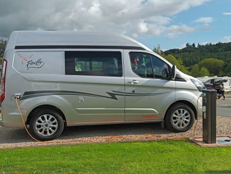
For us, the first essential is a good campsite and the one in Findhorn suited us well. The campsite has a circle of touring pitches with EHU, as well as pitches for tents. Everyone has use of luxurious modern individual bathrooms with good hot showers that were always clean. The touring area is separate from the static caravans and small lodges. There are washing up sinks, a laundry, wi-fi and the usual disposal points.
The Phoenix Shop is only a short walk from the pitches and sells a wide range of food and gifts. When we were there we had a voucher to save money in the shop and made good use of this on a shopping spree. The cafe is also not far away.
Walking from Findhorn
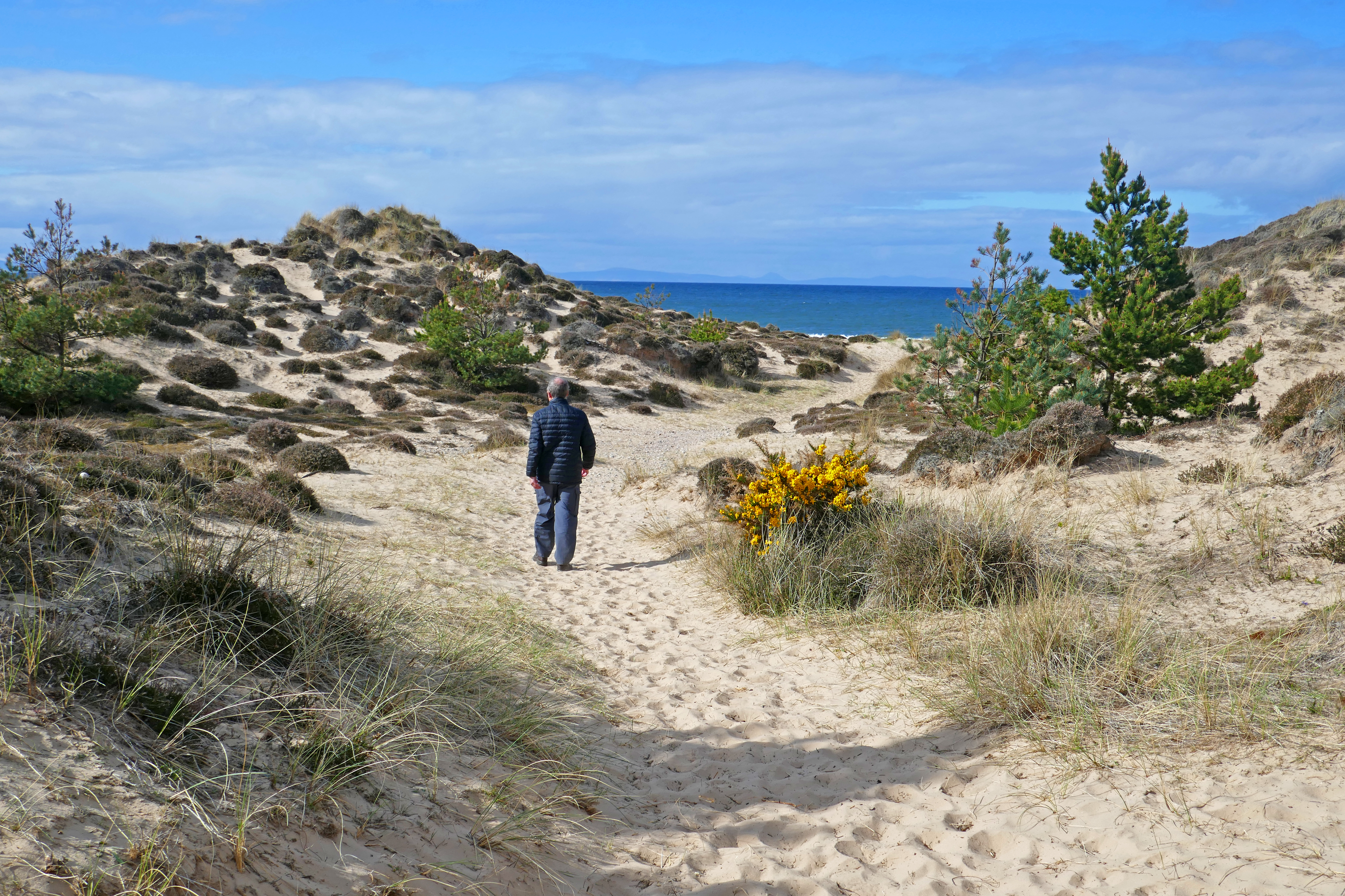
The Neighbourhood [1-6km or more]- The first thing I wanted to do once we had pitched up and had a brew was walk around some of the interesting community buildings and ecohouses. We wandered on paths through Wlkies Wood and among the sandy heath of gorse and low dunes to the beach. You can make this walk as long or as short as you wish, incorporating the village and harbour if you want to walk further.
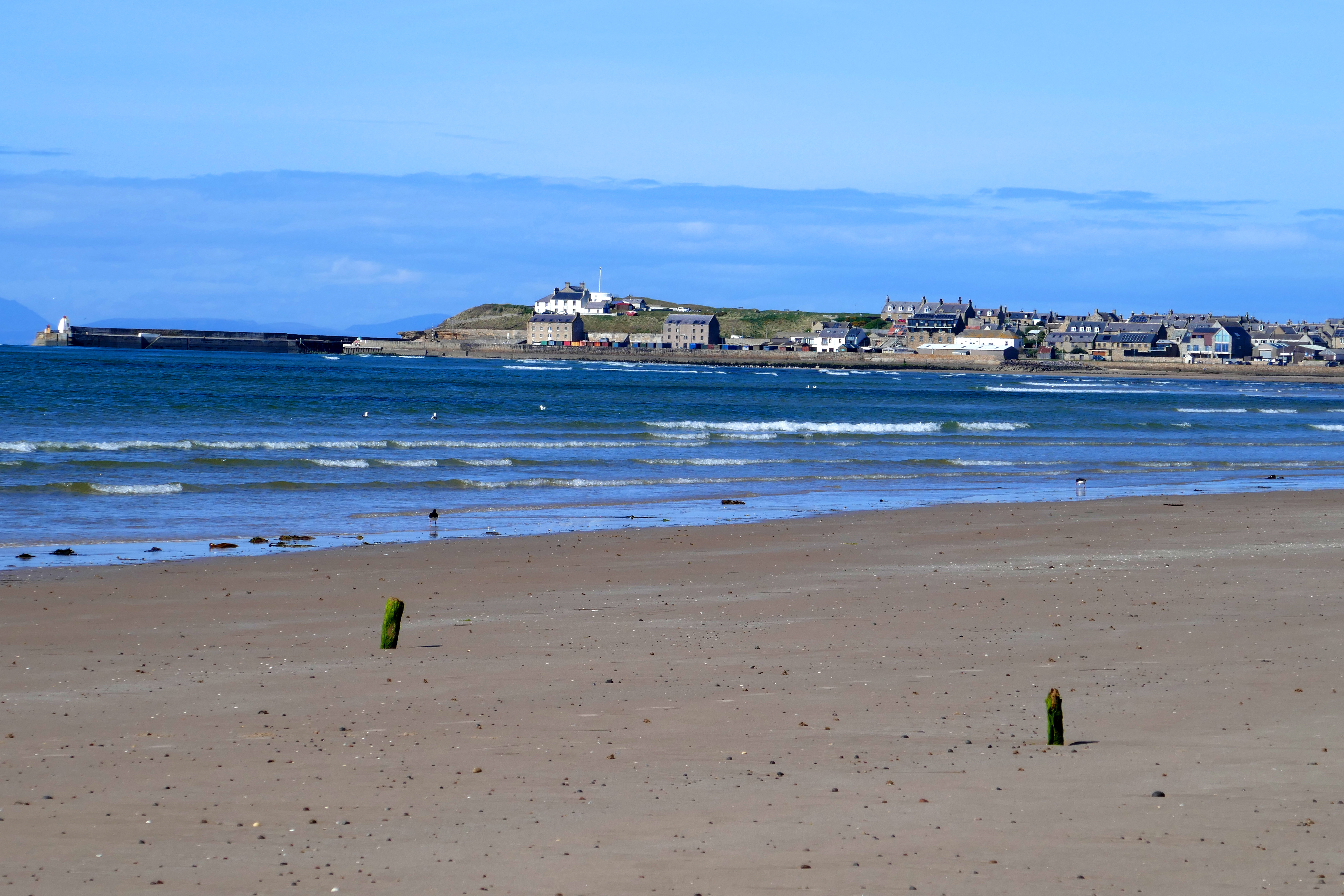
To Burghead and Back [23km] – On a sunny morning with a May chill in the air, we walked to Burghead, the next village along the bay, and back. On the way out we followed the good path above the beach around the Kinross RAF site and then through pine woodland, stopping to watch yellow hammers in the trees, the sea beyond. We met few other walkers until we were near the Roseisle Beach car park. The view across the bay to Burghead, highlighted by the sunshine, is unbeatable. In Burghead we walked around the harbour and found the memorial to the wartime Shetland Bus, some personnel of which operated from Burghead. We walked up to the head, where the distinctive white former coastguard lookout sits [closed when we were there] and looked across the Moray Firth. On the way back we followed the shore, a shorter route and the sunshine encouraged us to take off our shoes and paddle through the surf. Groups of herring gulls and solo oystercatchers were on the beach and sand martins nested on the sandy bank below the forest.
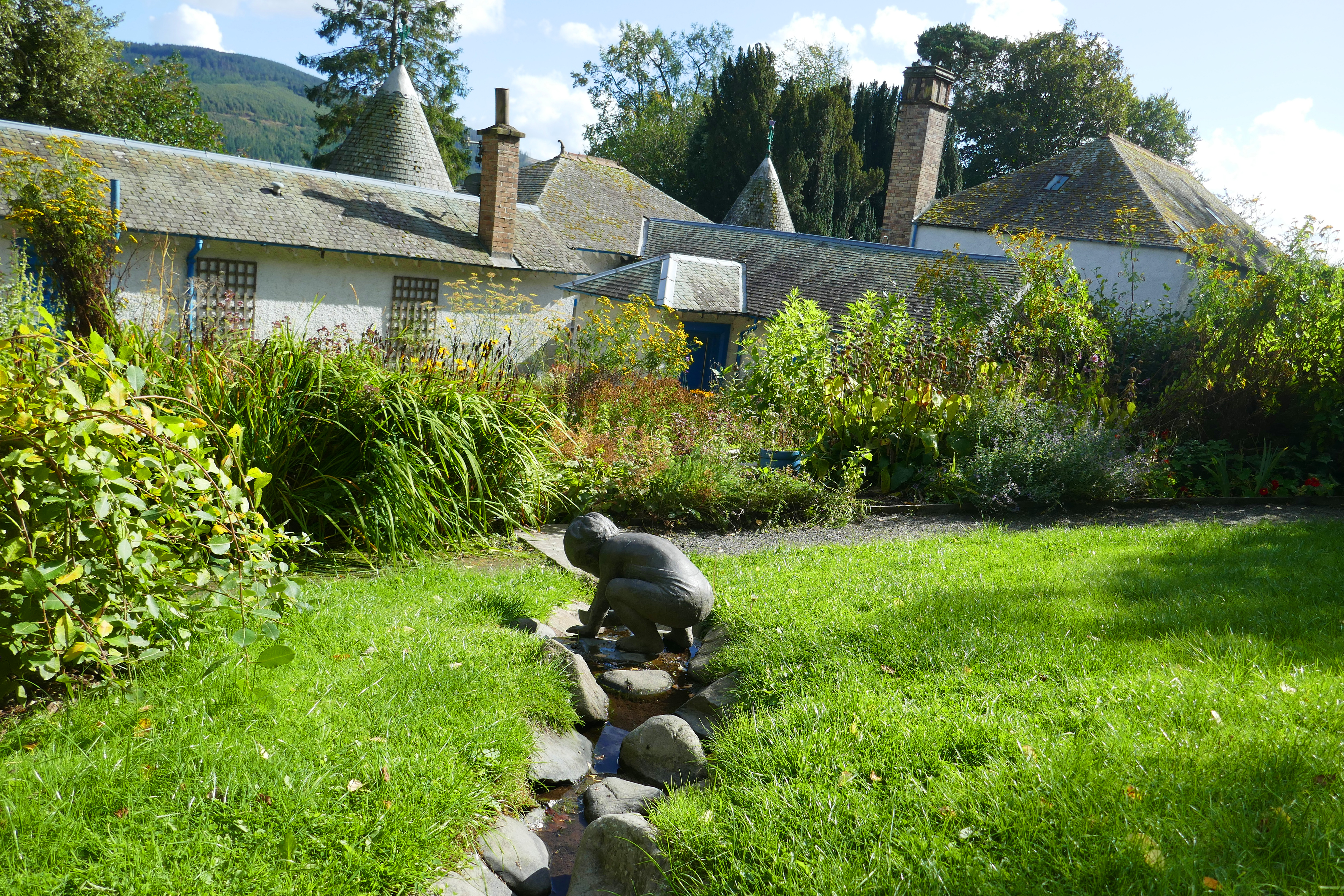
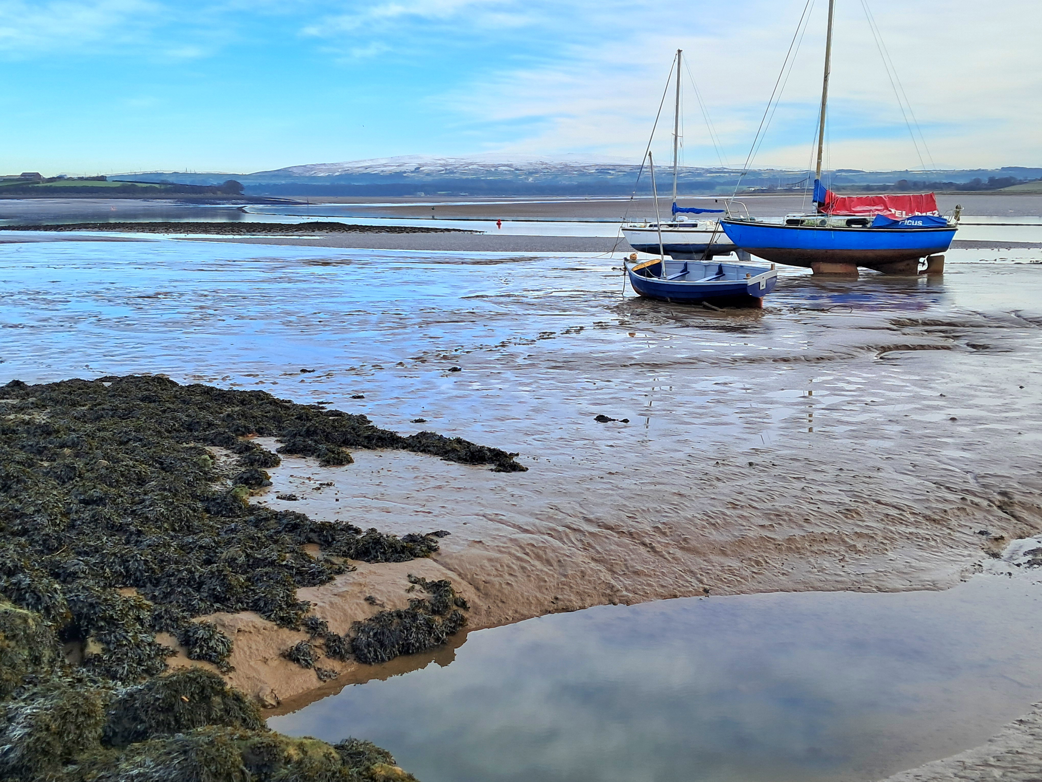
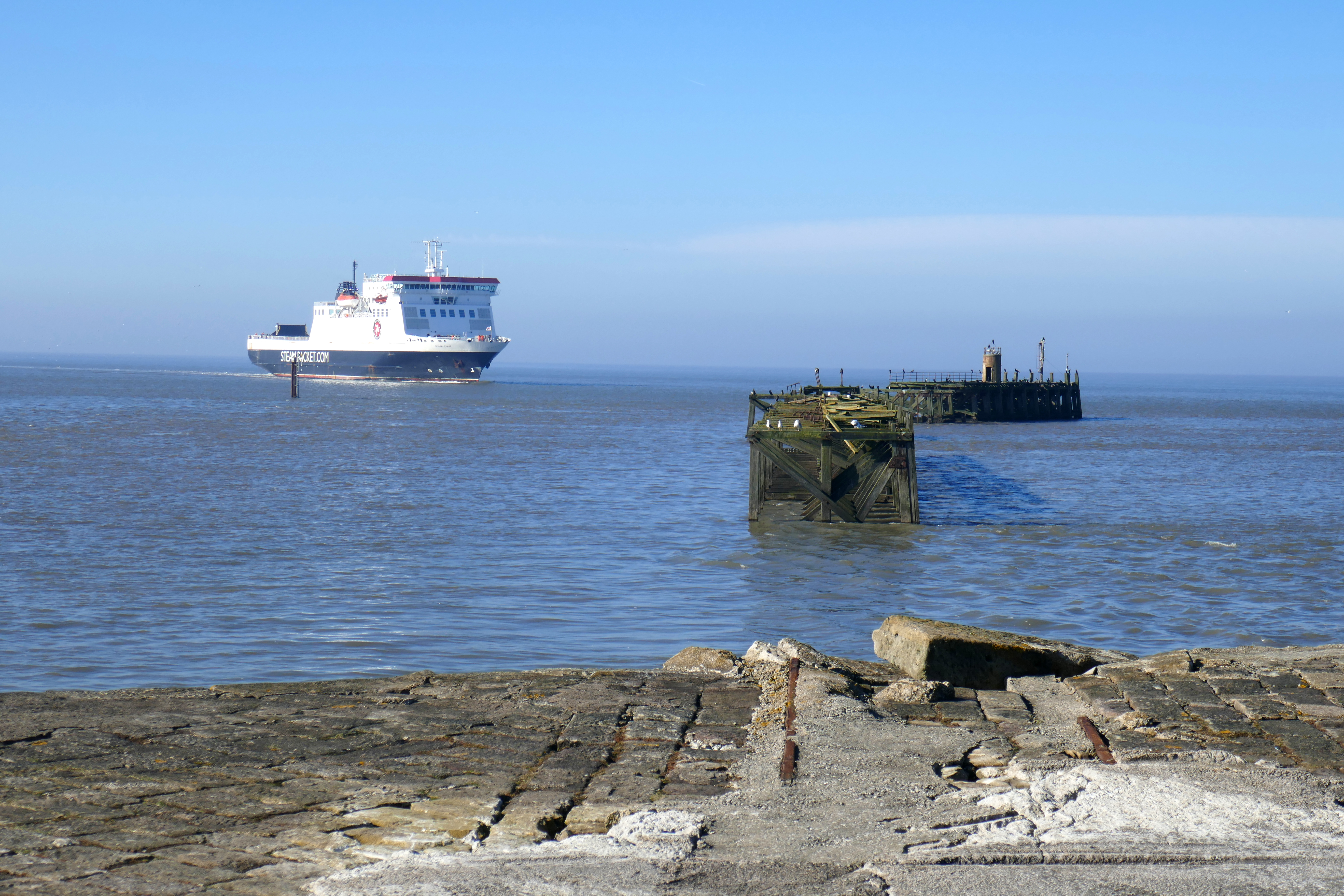
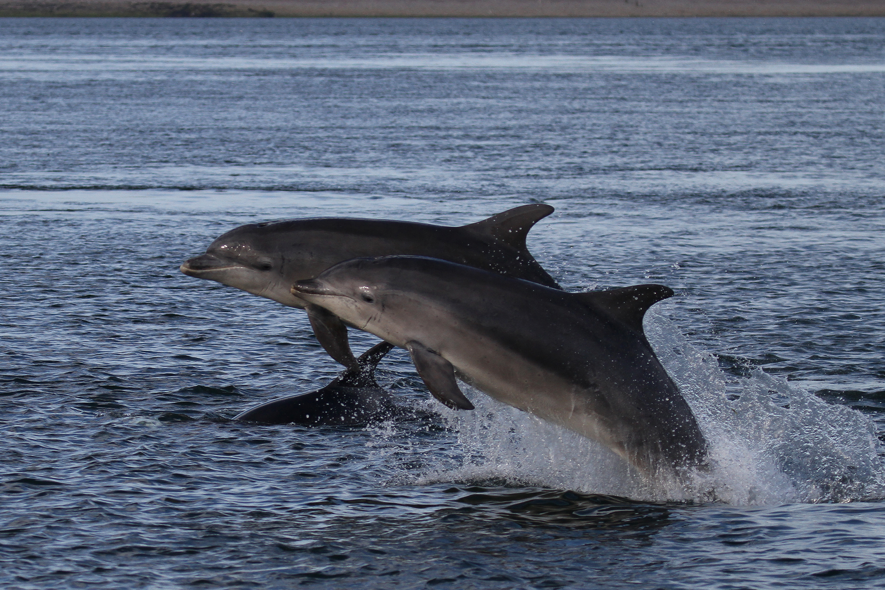
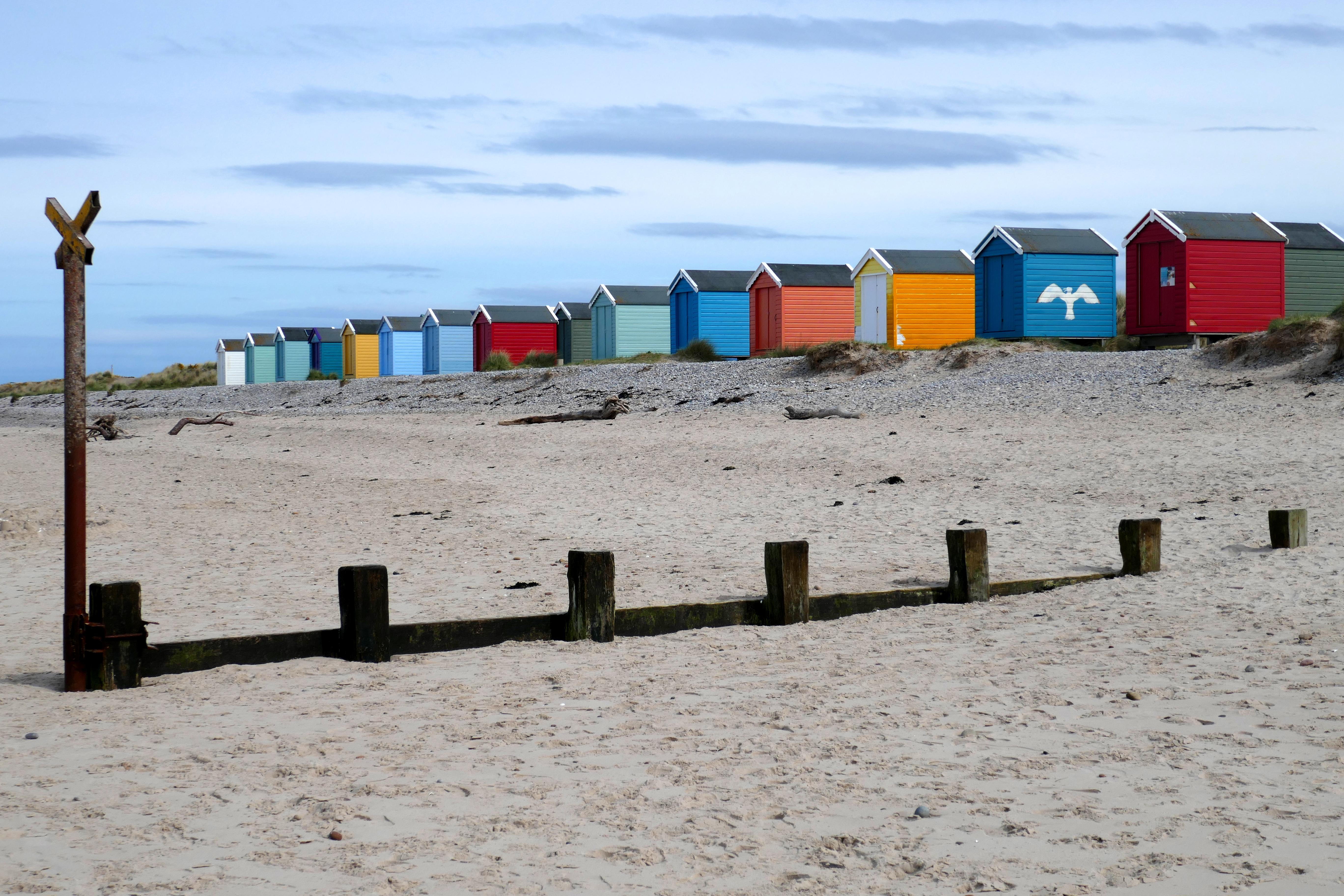
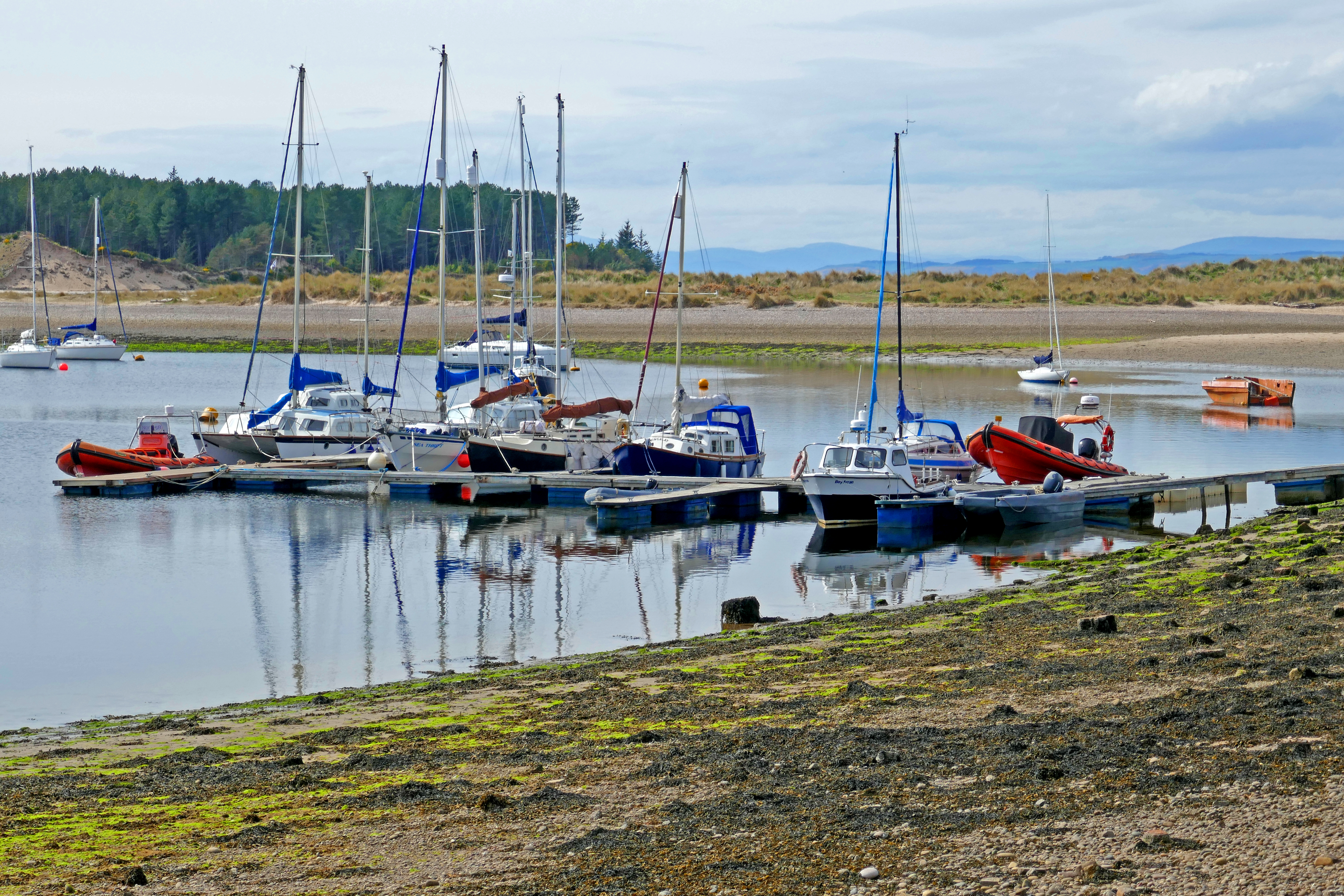
Findhorn Harbour [Around 5km]- Walking to the village from the campsite you are soon following the river, with houses to your right. We sauntered, taking in the views from the stone piers across the water to Culbin Forest. We admired the boats and the old fishing village’s stone buildings. There are refreshment options and we ate ice-creams sitting on a bench overlooking the sheltered harbour. In summer a short ferry leaves here and crosses the river mouth to the vast Culbin Forest. Reaching the sands, we walked around the shingle spit of land that has formed in the mouth of Findhorn Bay. This hook-shaped land builds as the waves shift the sand and shingle, always drifting and progressing west. Heading east along the sandy beach dotted with stones and lined with colourful beach huts these were dwarfed by the vast sky. In the sea a seal surfaced and its whiskery head watched us. We left the beach for a track and grassy path through dunes and sandy heath packed with flowering gorse and made our way through the eco-community houses to our campervan.
A Short Drive Away
Brodie Castle – If you want to take your campervan out for a drive, Brodie Castle is about 15 minutes drive away. When we are in this area we like to stop at Brodie Countryfare cafe and shop for coffee or lunch first. There is parking at the castle and you can visit the sprawling pink building [it is run by the National Trust for Scotland]. We prefer to stay outdoors and explore the grounds. The stroll down the tree-lined avenue to the pond gives you ample opportunity to snap a photograph of the castle. There are shady tree-lined paths around the pond and chances to see the ducks and swans. Back at the castle there is plenty to see in the gardens, with traditional planting and the Playful Garden, which is as much fun as it sounds! No doubt designed for children, no adult can resist messing about on the giant white rabbit.
Burghead – If you didn’t walk there [see above] then drive and spend time enjoying this village that is full of character and stories. There is parking near the harbour on Station Road. A short detour on your drive would take in Roseisle Country Park where you can walk through the tall trees of the forest to the beach and appreciate the view to Burghead.
Forres & Nelson’s Tower – About 10 minutes drive from Findhorn is Forres and as you approach the town you might spot Nelson’s Tower on the top of Cluny Hill. There are a number of car parks in Forres, including the one on High Street and it is just a 15-minute hike uphill through the trees to this 21-metre-high octagonal structure built in the 19th century to commemorate Nelson’s victory at the Battle of Trafalgar. The tower is often open to visitors in the afternoons and after climbing the 96 steps you can enjoy a view over the town. Afterwards, take some time to explore the pleasant town centre, finding the Tolbooth and the mercat cross
Other Overnight Options
Findhorn West Beach allows campervans to overnight for a charge. Places must be pre-booked and there are toilets.